Shenandoah National Park · Virginia

Lewis Spring Falls Trail

1.7 mi of trail, end to end · about 450 ft of climbing · 700 ft of descent · 2,832 ft–3,538 ft · earth surface · trail class Developed · hiking

3,538 ft 3,291 ft · 1.7 mi high 3,538 ft

Lewis Falls Trail the Park Service's write-up

4-5 Hours · dogs allowed

Start Central District (Mile 51.2)
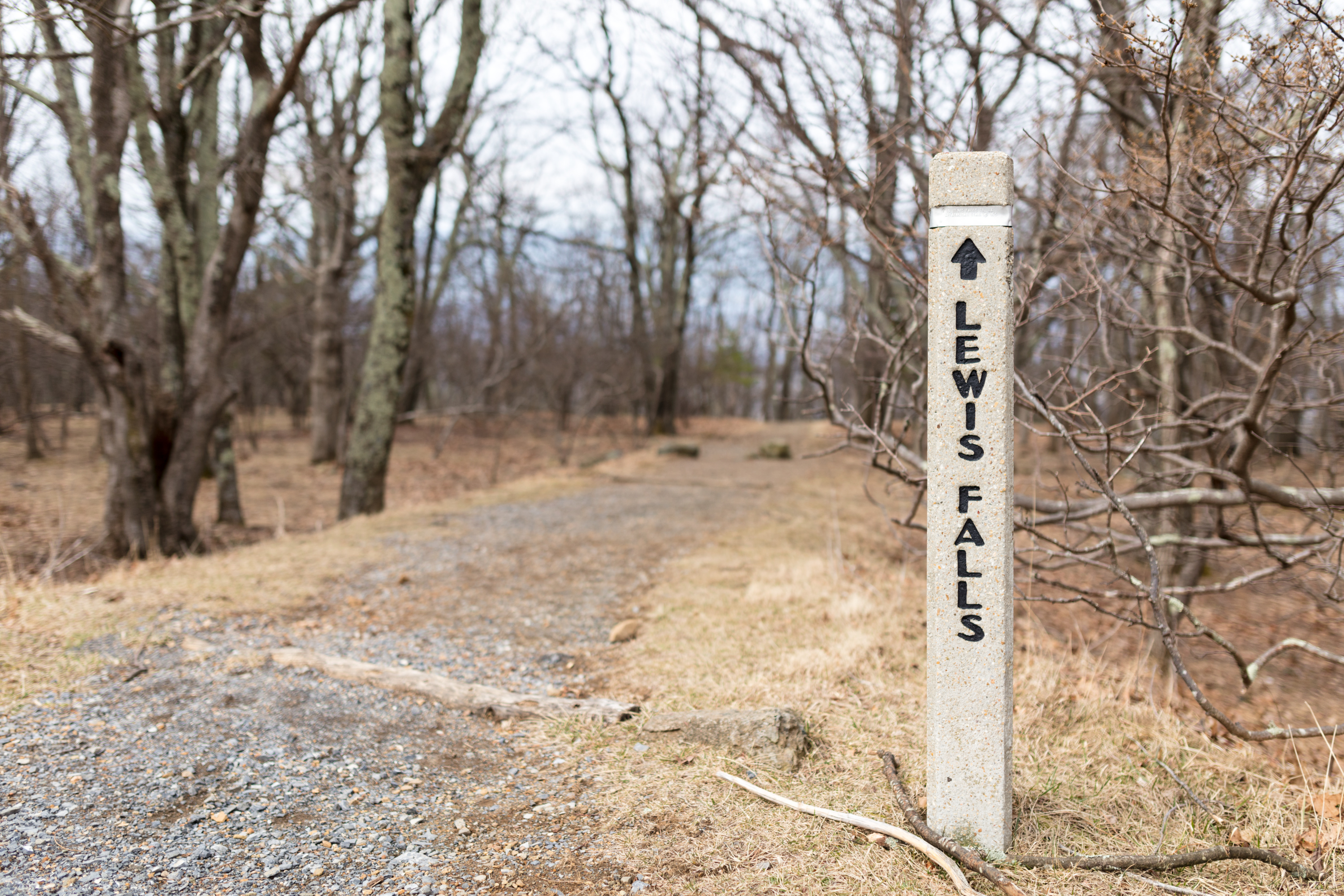
A concrete post at the head of a trail the reads Lewis Falls

Leaving from Big Meadows amphitheater, this hike leads to an observation point over a beautiful 81 foot waterfall.

Distance: 3.3-mile circuit hike

Difficulty: Moderate (explanation of our hiking difficulty scale )

Hiking Time: 4 hours

Elevation Gain: 990 feet

Hike Description

From the Big Meadows amphitheater parking area, walk downhill from the concrete marker post and turn left on the Appalachian Trail.

Stay right onto the blue-blazed Lewis Falls Trail. It’s a steep, rocky descent to the falls viewing platform.

To return, take the trail up to its intersection with a fire road and turn right.

In a few yards, turn left onto the Appalachian Trail.

Follow uphill to return to the parking area.

Accessibility This trail does not meet ADA accessibility guidelines.

This hike on nps.gov

All 317 trails in Shenandoah National ParkFind a trailOn the parks mapPark on nps.gov

About this trail's facts

The lines are the National Park Service's public trails layer, the trailheads and the waterfalls, views, peaks and historic places along them the Service's public points of interest, read 2026-10-16 and simplified for the map; the length is the line's, end to end. The write-ups are the Service's own "things to do" text, unedited. Heights come from USGS 3DEP through Terrain Tiles on AWS (Mapzen/Tilezen), read along each line and rounded; a short trail on steep ground can be off by a few tens of feet. Closures change: check the park's own site before you go.