
Hawksbill Gap Trail
Cedar Run - Whiteoak Circuit 8.1 mi round trip · the Park Service's write-up
6-7 Hours · dogs allowed
Start Central District (Mile 45.6)
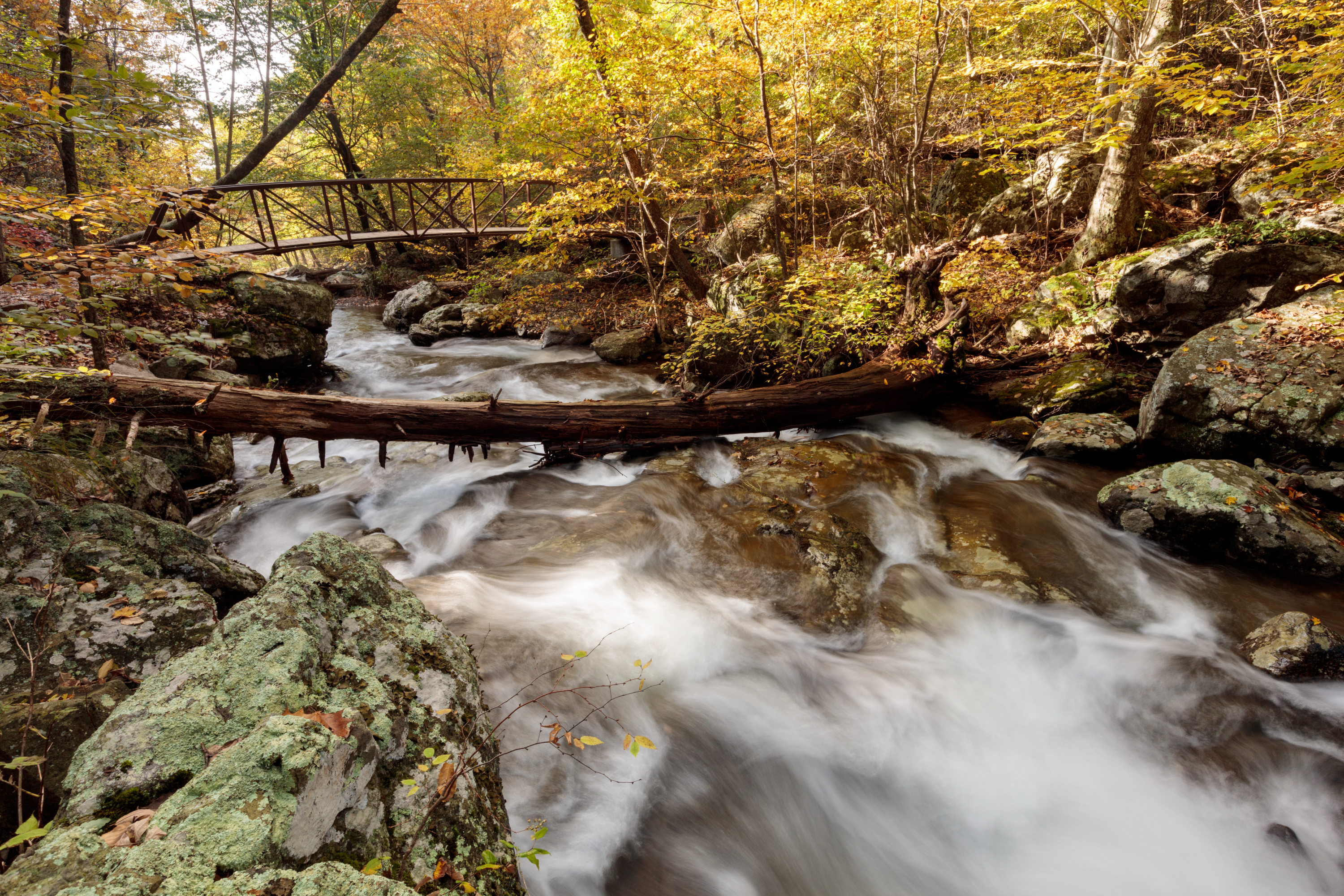
This hike is very challenging, although those who do it are rewarded with exceptional cascades and waterfalls. You will also hike through the Shenandoah Wilderness along the Cedar Run Trail. Be prepared for several stream crossings.
Distance: 8.1-mile round trip hike
Difficulty: Very strenuous ( hiking difficulty scale )
Hiking Time: 7 hours
Elevation Gain: 2,794 feet
Hike Description
From the Hawksbill Gap Parking Area (mile 45.6), descend via the Cedar Run Trail.
At the bottom of the drainage, go left on the Whiteoak Canyon Trail.
After having passed six waterfalls on your ascent, you will come to an intersection with the Whiteoak Canyon Fire Road/Horse Trail. Turn left.
Follow the road to the Skyland-Big Meadows Horse Trail.Turn left once more to return to the parking area
Accessibility This trail does not meet ADA accessibility guidelines.
Hawksbill Loop the Park Service's write-up
2-3 Hours · dogs allowed
Start Central District (Mile 45.5)
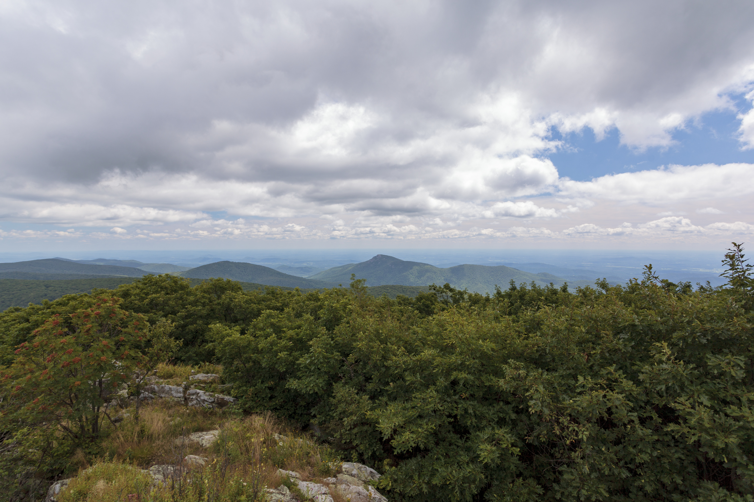
A circuit hike to Shenandoah’s highest peak. The viewing platform on top of Hawksbill offers a magnificent 360-degree view of the Shenandoah Valley, the Blue Ridge Mountains, and the Virginia Piedmont.
Note that very limited closures are in effect in an effort to prevent further degradation of important outcrop ecosystems on Hawksbill.
Distance: 2.9-mile circuit hike
Difficulty: Moderate ( hiking difficulty scale )
Hiking Time: 2 hour
Elevation Gain: 860 feet
Hike Description
From the north end of the Hawksbill Gap Parking Area (mile 45.5), take the short connector trail to the Appalachian Trail (A.T.).
At the trail post, turn left onto the A.T. south.
Continue on the A.T. south to the trail post indicating the Salamander Trail. Go left onto the blue-blazed Salamander Trail.
At the next trail junction, turn left onto the Upper Hawksbill Trail. Be sure to take the short trail past the shelter to the viewing platform.
To return to the parking area, be sure to take the blue-blazed Lower Hawksbill Trail, not the Upper Hawksbill Trail.
Accessibility This trail does not meet ADA accessibility guidelines.
Hawksbill Summit 1.7 mi round trip · the Park Service's write-up
1-2 Hours · dogs allowed
Start Central District (Mile 45.5)
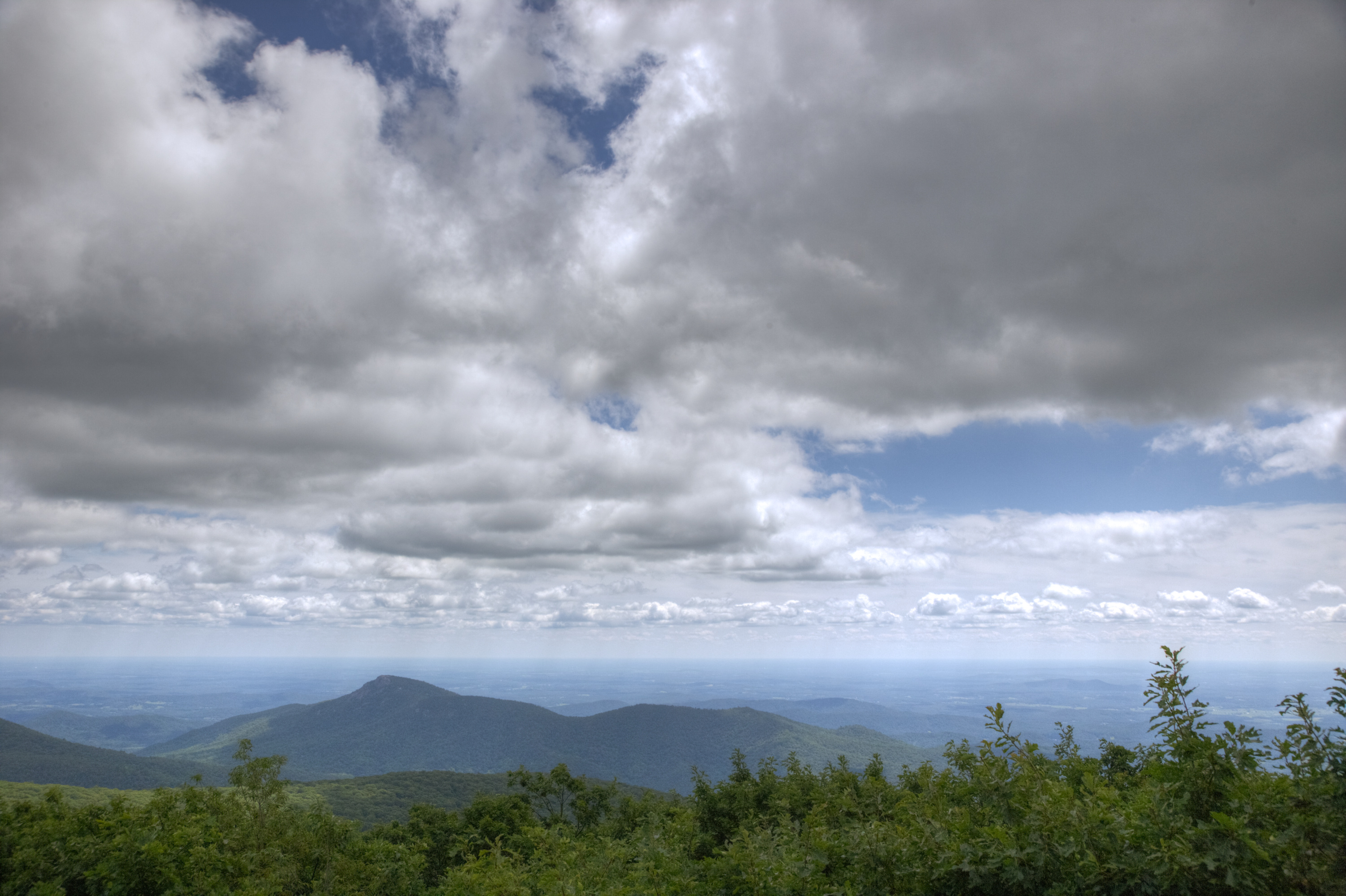
A shorter, yet steeper, route to Shenandoah’s highest peak. The viewing platform on top of Hawksbill offers a magnificent 360-degree panoramic view of the Shenandoah Valley, the Blue Ridge Mountains, and the Virginia Piedmont.
Note that very limited closures are in effect in an effort to prevent further degradation of important outcrop ecosystems on Hawksbill.
Distance: 1.7-mile round trip hike
Difficulty: Moderate ( hiking difficulty scale )
Hiking Time: 1 hour 15 minutes
Elevation Gain: 690 feet
Hike Description
From the Hawksbill Gap Parking Area (mile 45.5), take the Lower Hawksbill Trail to the Byrds Nest 2 Shelter
Follow the trail to the viewing platform.
Retrace your steps to return to your starting point.
Accessibility This trail does not meet ADA accessibility guidelines.