
Elkwallow Trail
Knob Mountain - Jeremys Run the Park Service's write-up
7-8 Hours · dogs allowed
Start North District (Mile 24)
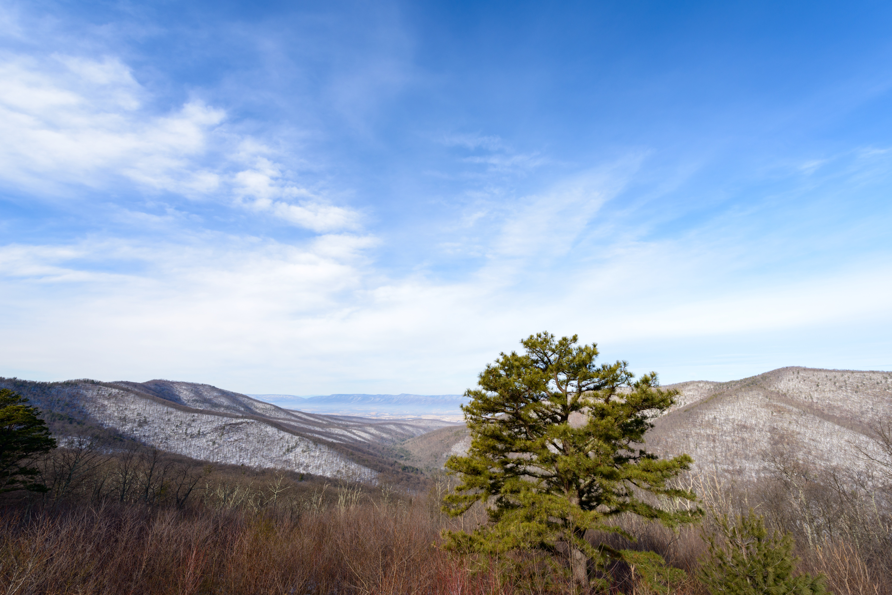
Starting at Elkwallow Wayside, this hike goes around a beautiful area of the Park featuring one of the most picturesque streams in Shenandoah. The majority of this hike is in the Shenandoah Wilderness.
Distance: 6.0-mile circuit hike
Difficulty: Moderately Strenuous ( hiking difficulty scale )
Hiking Time: 7 hours 30 minutes
Elevation Gain: 1,303 feet
Hike Description
From the parking lot at Elkwallow Wayside (mile 24), take the Appalachian Trail (white-blazed) to its junction with Jeremys Run Trail (blue-blazed).
The A.T. goes sharply left here, but stay straight onto Jeremys Run Upper Trail.
Take a right onto the Knob Mountain Cutoff Trail.
Take another right on Knob Mountain Trail (yellow-blazed). Follow it to Mathews Arm Campground registration station.
Take the Elkwallow Trail back to your starting point at Elkwallow Wayside.
Accessibility This trail does not meet ADA accessibility guidelines.