
Doyles River Trail
Browns Gap the Park Service's write-up
7-8 Hours · dogs allowed
Start South District (Mile 83)
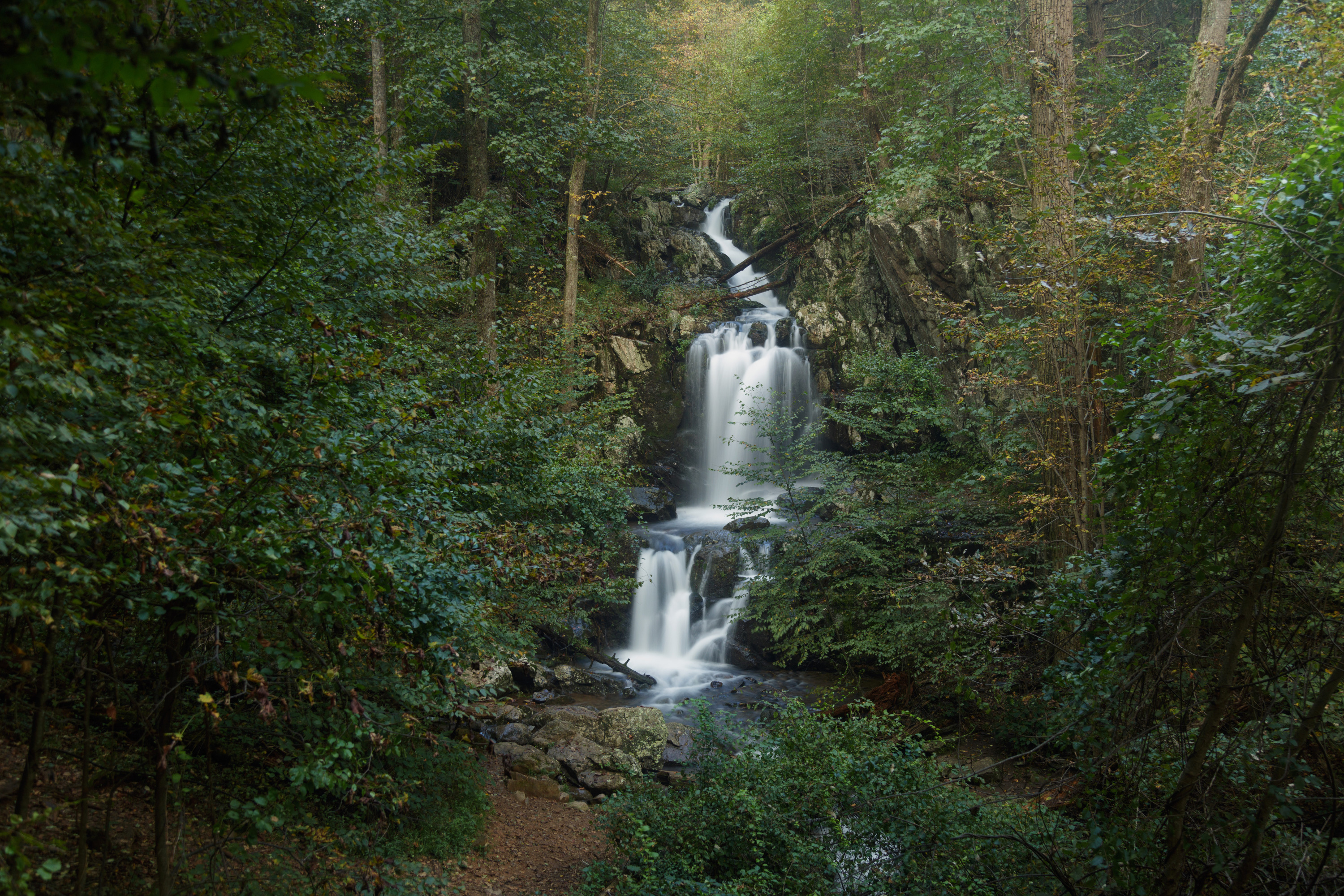
This circuit hike leads you to Upper and Lower Doyles River Falls, as well as Jones Run Falls.
Distance: 6.5-mile circuit hike
Difficulty: Moderately Strenuous (explanation of our hiking difficulty scale )
Hiking Time: 7 hours
Elevation Gain: 1,400 feet
Hike Description
From the Browns Gap Parking Area (mile 83), cross Skyline Drive and take Browns Gap Fire Road to its intersection with Doyles River Trail.
Turn right and connect with Jones Run Trail.
At the Jones Run parking area, take a right onto the Appalachian Trail.
Follow the A.T. back to your starting point.
Accessibility This trail does not meet ADA accessibility guidelines.
Doyles River Falls 3.3 mi round trip · the Park Service's write-up
2-3 Hours · dogs allowed
Start South District (Mile 81.1)
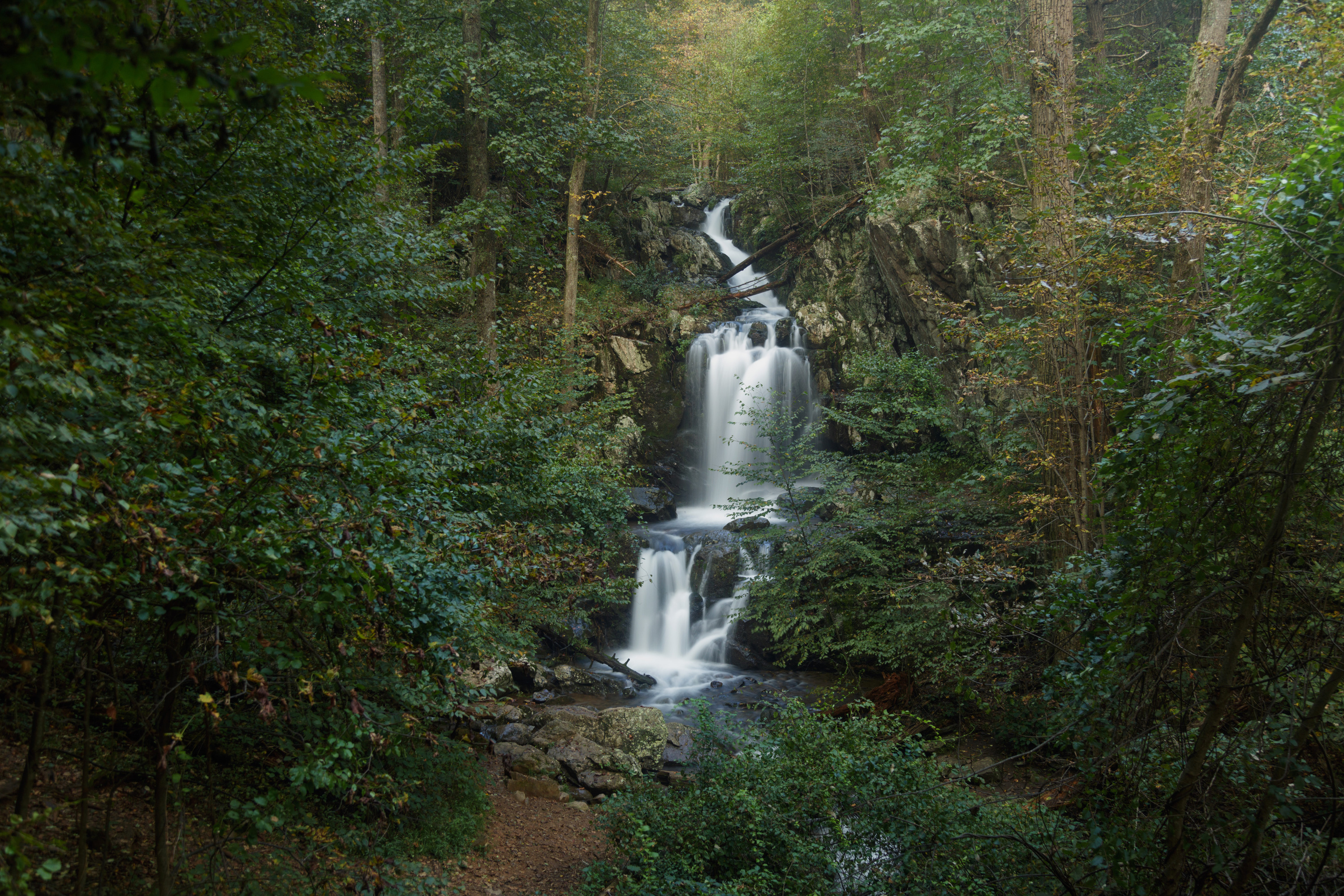
This beautiful trek takes you along cool, clear mountain streams to two unique waterfalls. Be prepared for a stream crossing.
Distance: 3.3-mile round trip hike
Difficulty: Moderate (explanation of our hiking difficulty scale )
Hiking Time: 2 hours 15 minutes
Elevation Gain: 1,189 feet
Hike Description
From the Doyles River Parking Area (mile 81.1), take the blue-blazed Doyles River Trail.
Cross the Appalachian Trail and pass the access trails to Doyles River Cabin and Browns Gap Road.
Trail posts mark the locations of Upper and Lower Doyles River Falls.
Retrace your steps to return to the parking area.
Accessibility This trail does not meet ADA accessibility guidelines.