
Compton Gap Trail
Compton Peak 2.4 mi round trip · the Park Service's write-up
1-2 Hours · dogs allowed
Start North District (Mile 10.4)
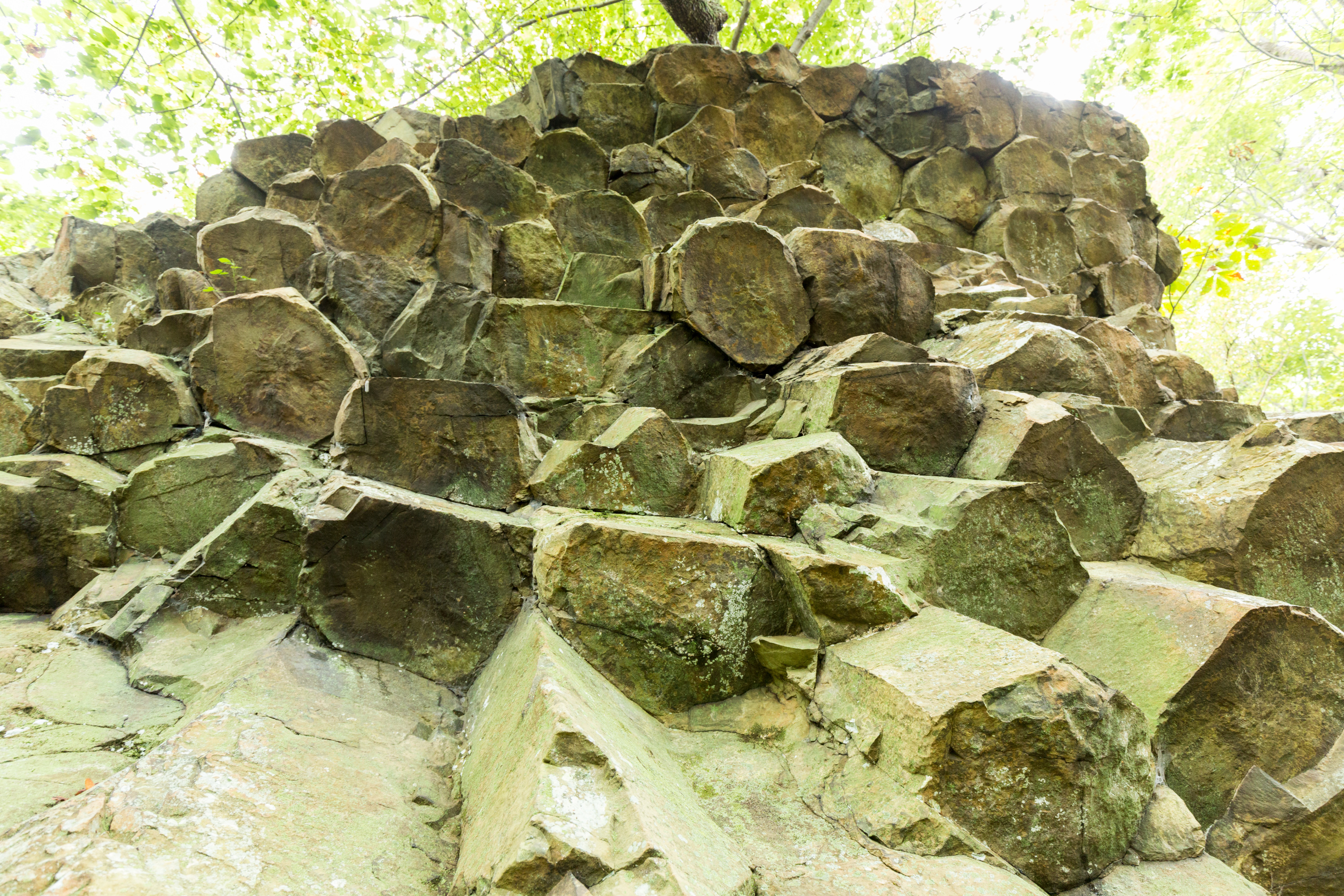
A hike through the forest along the Appalachian Trail to a western view and a great look at columnar jointing, an exciting geologic feature.
Distance: 2.4-mile round trip hike
Difficulty: Moderate (explanation of our hiking difficulty scale )
Hiking Time: 1 hours 45 minutes
Elevation Gain: 855 feet
Hike Description
From the Compton Gap Parking Area (mile 10.4), cross Skyline Drive and look for the concrete trail marker indicating the Appalachian Trail (A.T.).
Take the A.T. south to the intersection and go right. This will lead you to the western viewpoint.
Turn around, and return to the same intersection.
Continue straight to the eastern viewpoint. From this viewpoint, you have the option of following the blue blazes below the cliff to see a prime example of columnar jointing, an amazing geological feature. It is well worth it, but be aware that this part of the hike is rough and rocky.
Return back to the parking area by taking the A.T. north from the intersection.
Accessibility This trail does not meet ADA accessibility guidelines.
Fort Windham Rocks 0.8 mi round trip · the Park Service's write-up
1 Hour · dogs allowed
Start North District (Mile 10.4)

A short hike along the Appalachian Trail that leads to an interesting geologic feature: deeply split boulders rising 50 feet above ground.
Distance: 0.8-mile round trip hike
Difficulty: Easiest (explanation of our hiking difficulty scale )
Hiking Time: 30 minutes
Elevation Gain: 130 feet
Hike Description
From the Compton Gap Parking Area (mile 10.4), follow the Appalachian Trail (A.T.) north.
At the intersection with the Dickey Ridge Trail, turn left.
In about 300 yards, look for Fort Windham Rocks on the right.
Return to the parking area the same way you came.
Accessibility This trail does not meet ADA accessibility guidelines.