
Young Hill Trail
Hike to Young Hill 1.9 mi out and back · the Park Service's write-up
dogs allowed
Start Young Hill Trailhead
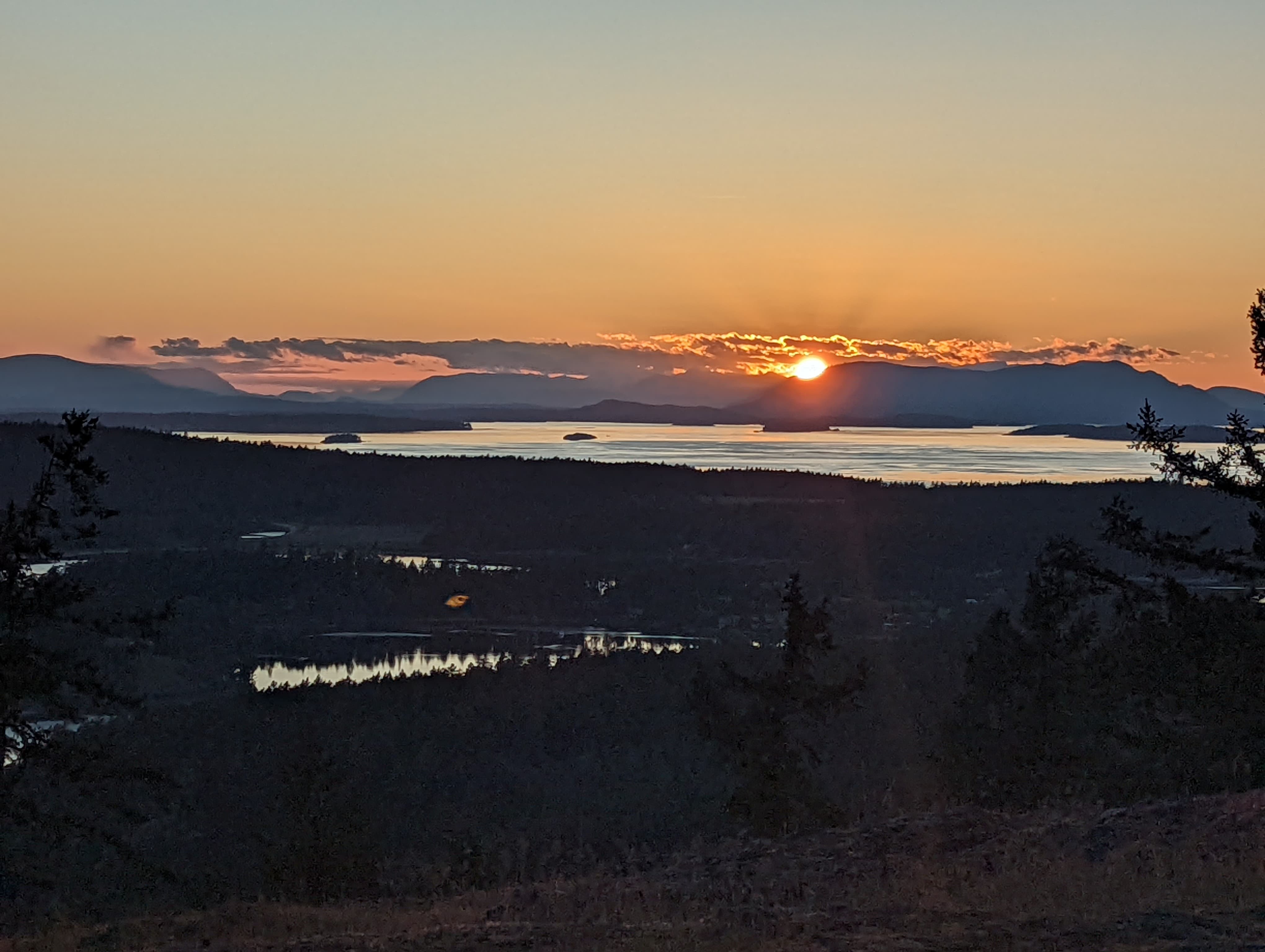
On a clear day, the hike to the top of Young Hill provides a panoramic view of San Juan Island’s bays, English Camp, and Vancouver Island. During the joint occupation (1860-1872) visitors from Victoria regularly climbed to the top of Young Hill and took in its impressive vantage point. This trail allows visitors to follow in their footsteps.
The 1.9 mile out-and-back trail is steep, climbing 566 feet to reach Young Hill’s 650-foot summit. Along the way, exercise caution as you cross San Juan Valley Road .3 miles into the hike and carry water, as none is available on the way. At .4 miles into the hike, you will cross a short spur trail that leads to the English Camp Cemetery the final resting place of 6 members of the Royal Marines and one civilian who died during the joint occupation of San Juan Island. At .8 miles into the hike, the woods clear, providing you with your first viewpoint out into the bay. 1 mile into your hike you will reach the end of the trail with stunning views and excellent rocks for an informal picnic.
Accessibility This is a moderate hike along an unpaved trail. It is 1.9 miles round trip and includes 566 feet of elevation gain.