
National Historical Park · Washington
Trails in San Juan Island National Historical Park
20 named trails · 7 miles · 10 with the Park Service's own write-up. The lines, trailheads and points are the Park Service's; the write-ups are the Service's own words; the climbing is read from USGS elevation along each line.
20 trails, A to Z.
Bell Point Spur
Bell Point Trail
Hike the Bell Point Loop the Park Service's write-up
dogs allowed
Start Bell Point Trailhead
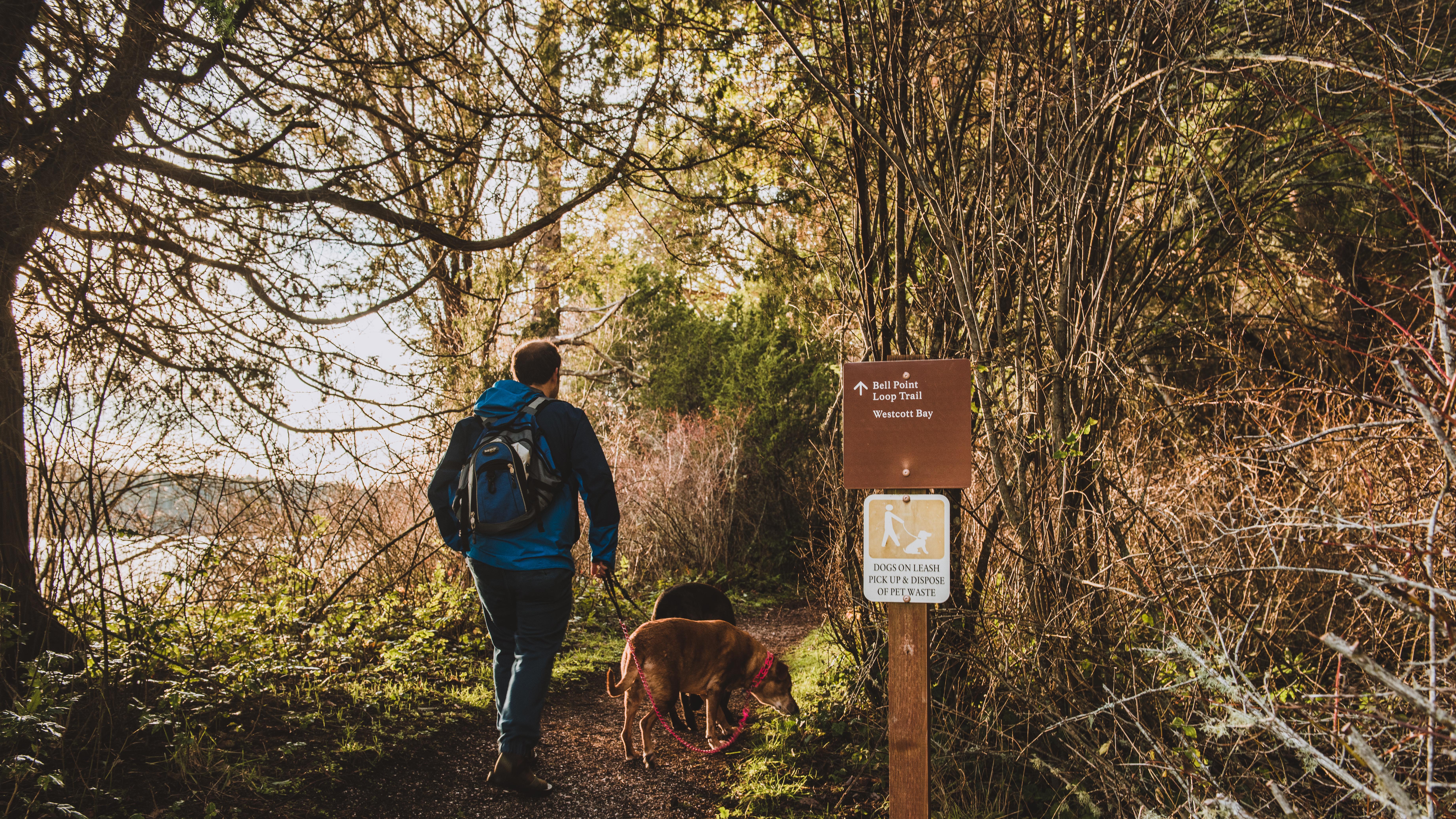
The Bell Point trail traverses a mature madrona forest and hugs the shores of Garrison Bay and Westcott Bay. At 0.1 miles into the trail, you will pass by the English Camp Dinghy Dock. At 0.5 miles, a short spur trail which leads to Bell Point and a small picnic area with waterfront views is a short walk from the Bell Point trail. 0.7 miles in the Bell Point Trail intersects with the Westcott Bay trail which traverses woodlands and leads to a former farm and wetlands that are a part of the English Camp unit.
At 1.2 miles, the trail ends not far from where it started. Visitors have the choice of walking across the parade ground or continuing on the old farm road constructed by the Crook Family. On this route, you will pass the Crook House on your way to the English Camp parking lot where there are picnic facilities and where you can access the Young Hill trailhead for more hiking.
As you walk on the Bell Point trail, keep your eyes peeled for wildlife. Amongst the inhabitants of these woods are bald eagles, deer, and flying squirrels. The vegetation also includes opportunities for foragers, including wild grapes, Himalayan blackberries, and salmonberries.
Accessibility 1.2 miles round trip 40 ft elevation gain
Hike the Westcott Bay Trail the Park Service's write-up
dogs allowed
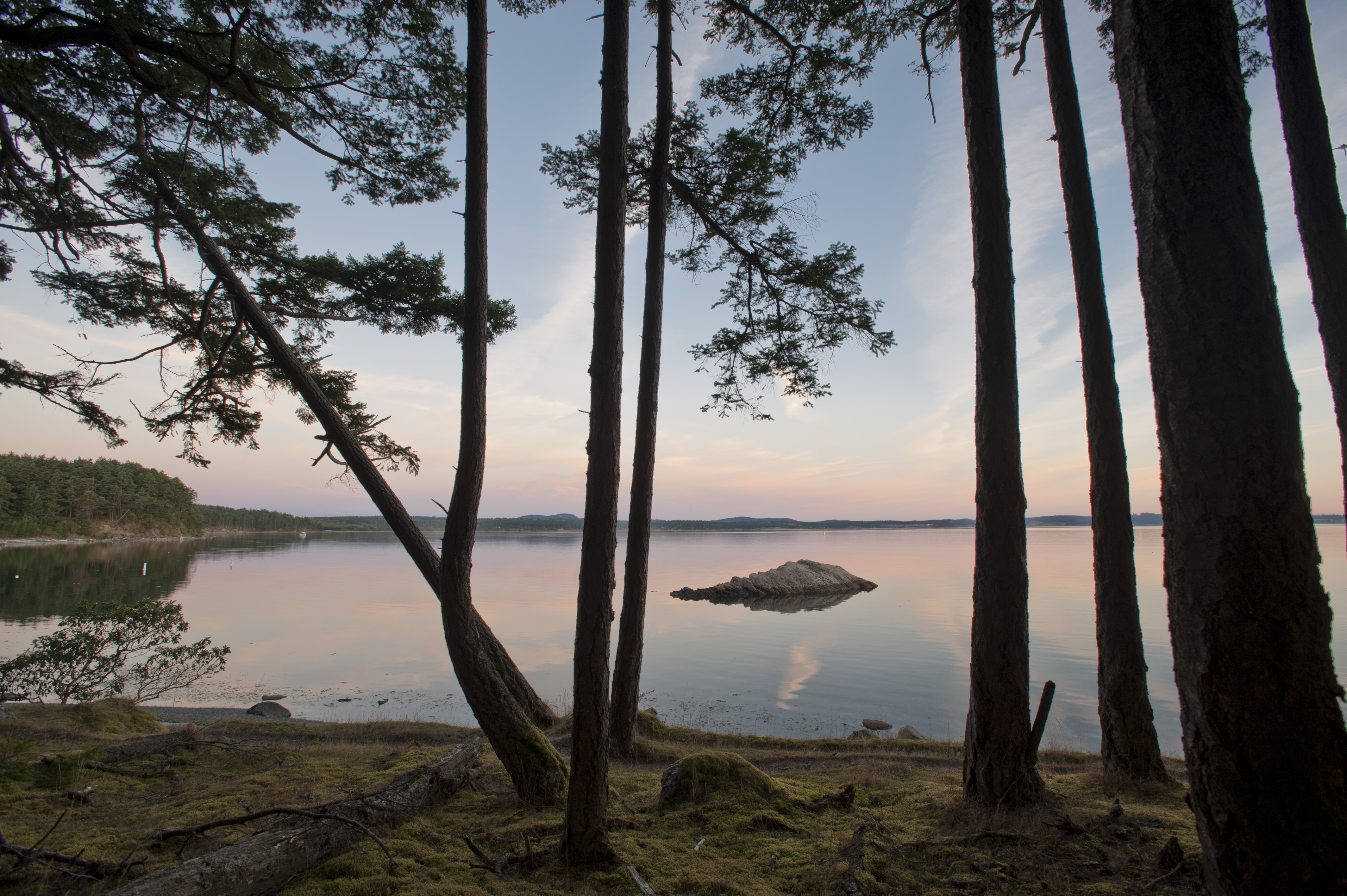
The Westcott Bay Trail is a 1.0 mile trail that hugs the shore of Westcott Bay, a tranquil section of shoreline to the East of English Camp. Like nearby Garrison Bay, these waters produce prolific shellfish resources which have been stewarded by Coast Salish people since time immemorial. Euro-Americans have also taken advantage of these resources; this part of our park was a shellfish farm for decades before it was made a part of our park in 2013.
Unlike other trailheads in our park, there is no parking available at the Westcott Bay trailhead, so most visitors take this trail as part of the Bell Point Loop. 40 feet to the north of the trailhead, you will find a historic orchard with Italian plums, heirloom pears, and apples that visitors are allowed to forage when in season in the early fall. The land this trail traverses a part of English Camp during the Joint Occupation of San Juan Island. The English chose this location for its abundant water resources and during springtime you will cross seasonal creeks that flow after heavy rains on the island.
The Westcott Bay trail ends at the Bell Point Loop Trail. If you take a turn to the right, you will reach a picnic table just beyond the trail intersection with views of Bell Point. Just beyond the picnic table is Bell Point, where visitors can access a beach with tidepools during low tide. Continue down the Bell Point Trail to reach the English Camp Parade Grounds, where you can see historic structures and learn more about our history. Beyond the Parade Grounds is the Young Hill Trail, a short but steep trail which takes you to the Royal Marines’ Cemetery and a summit with fantastic views of Victoria and the Strait of Juan De Fuca.
Accessibility This trail is 0.6 miles one way from Bell Point Trail to Westcott Bay. Is is unpaved and includes 80 feet of elevation gain.
Bluff Trail
Hike the Bluff Trail the Park Service's write-up
dogs allowed
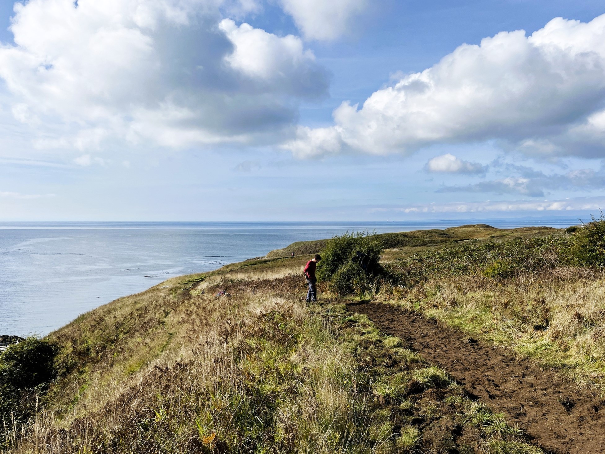
The Bluff Trail is a phenomenal way to experience the environmental richness of American Camp. The trail traverses high, sandy bluffs that overlook the sandy pocket beaches between Grandma's Cove and South Beach. On a hot summer day, the cool ocean breezes and ripe trailing blackberries found on this trail are particularly delightful. Bald eagles are regularly seen on the rocky points that intersperse the bluffs and sometimes orcas can be spotted in the Salish Sea beside the trail.
The Coastal Bluffs Trail begins at South Beach and ends just before the final segment of the Grandma's Cove Trail. Visitors can combine it with the South Beach Trail for an easy 2 mile loop that provides stunning views, wildlife opportunities, and an opportunity to get close to the pristine landscapes that bring so many visitors to American Camp.
Accessibility This is an easy unpaved trail that is 0.8 miles one way. It includes 53 feet of elevation gain.
Cemetary
Eagle Cove
English Camp Connector
Finlayson Spur
Grandma's Cove
Hike to Grandma's Cove the Park Service's write-up
dogs allowed
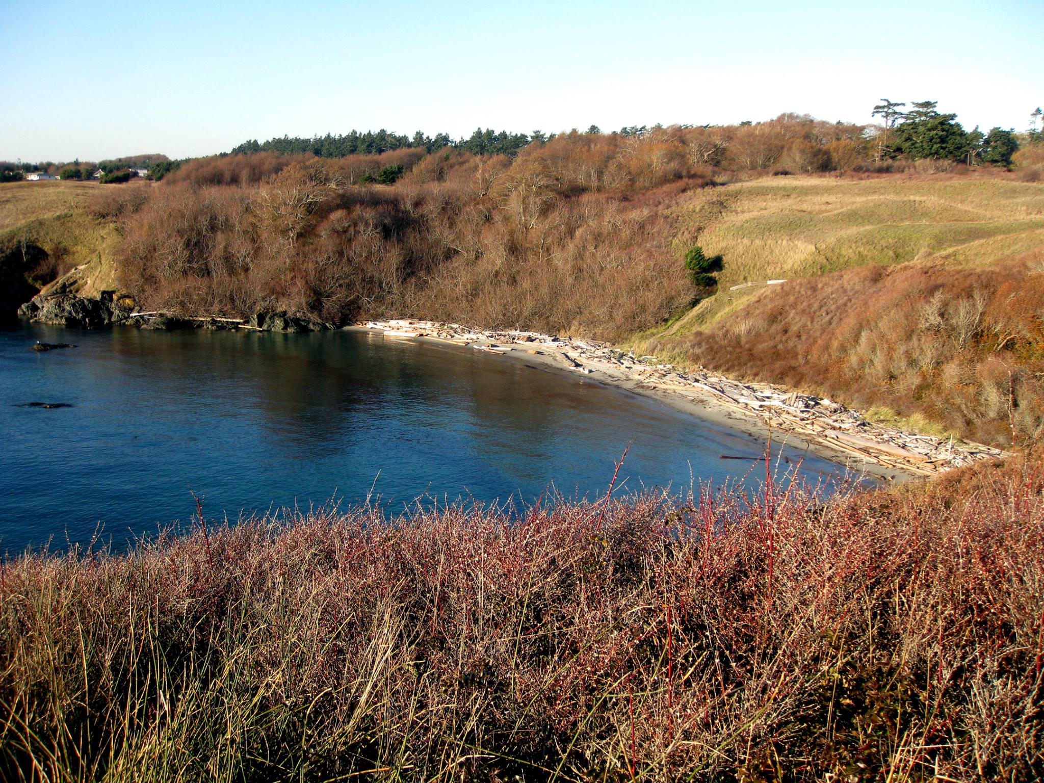
Grandma’s Cove is a great place to go for a swim! The water is shallow and protected, making it safer and warmer than other beaches on the island. While exploring the shoreline, you might see anemones, tide pool sculpin, mussels, shore crabs, barnacles, and a variety of seaweeds. Visitors often find sea glass too!
If you’re interested in a hike, the mile long round trip to the cove is of moderate difficulty. Along the way you can see the remains of Robert’s Redoubt . You might also spot bald eagles, foxes, or rabbits.
To get to Grandma’s Cove, you should park at the American Camp Visitor Center. Take the westernmost trail to the Parade Ground and shortly after leaving the parking lot a marked trail to Grandma’s Cove will be on your right. From there you will walk 5-10 minutes downhill on a grassy trail with expansive ocean views and then you’ll reach the beach!
Accessibility The hike to Grandma's cove is a 1 mile round trip hike along an unpaved trail. The trail descends 150 feet to the cove. The decent to the cove is steep and may be difficult for some hikers.
History Walk
American Camp History Walk the Park Service's write-up
dogs allowed
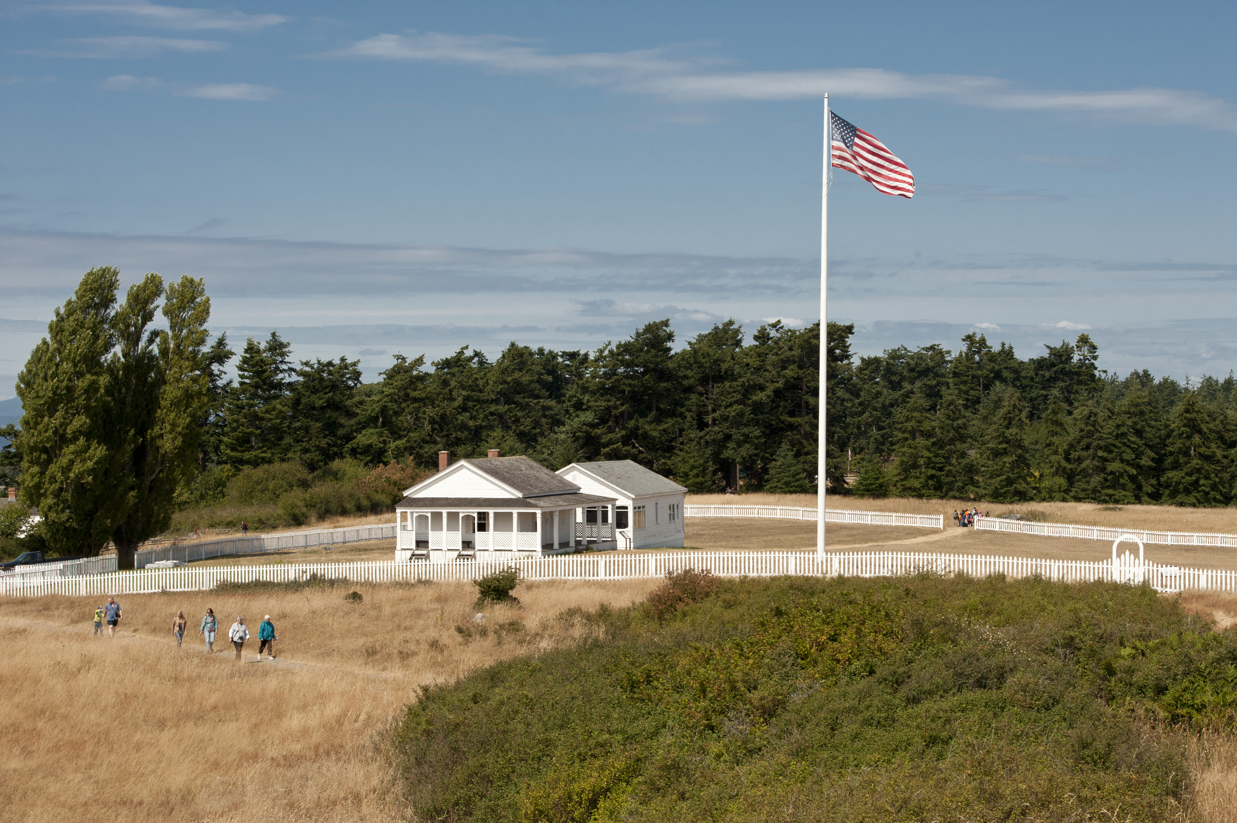
Embark on a captivating one-mile guided walk through San Juan Island National Historical Park, where you can relive the intriguing events of the Pig War. Starting from the Visitor Center picnic area, this trail features numbered stops that correspond with informative exhibits, allowing you to explore the historical significance of Camp San Juan Island in 1868. As you traverse the scenic path, you'll discover the rich history of the American and British standoff over this strategic territory, all while enjoying the natural beauty of the island. Remember to stay on the marked trail to protect the local wildlife and vegetation, and be cautious of rabbit holes along the way. Enjoy your journey through history!
Accessibility This is an easy 1 mile hike along an level, unpaved trail.
Jakle's Lagoon Nature Trail
Hike the Jakle's Lagoon Nature Trail the Park Service's write-up
dogs allowed
Start Jakle's Lagoon Trailhead
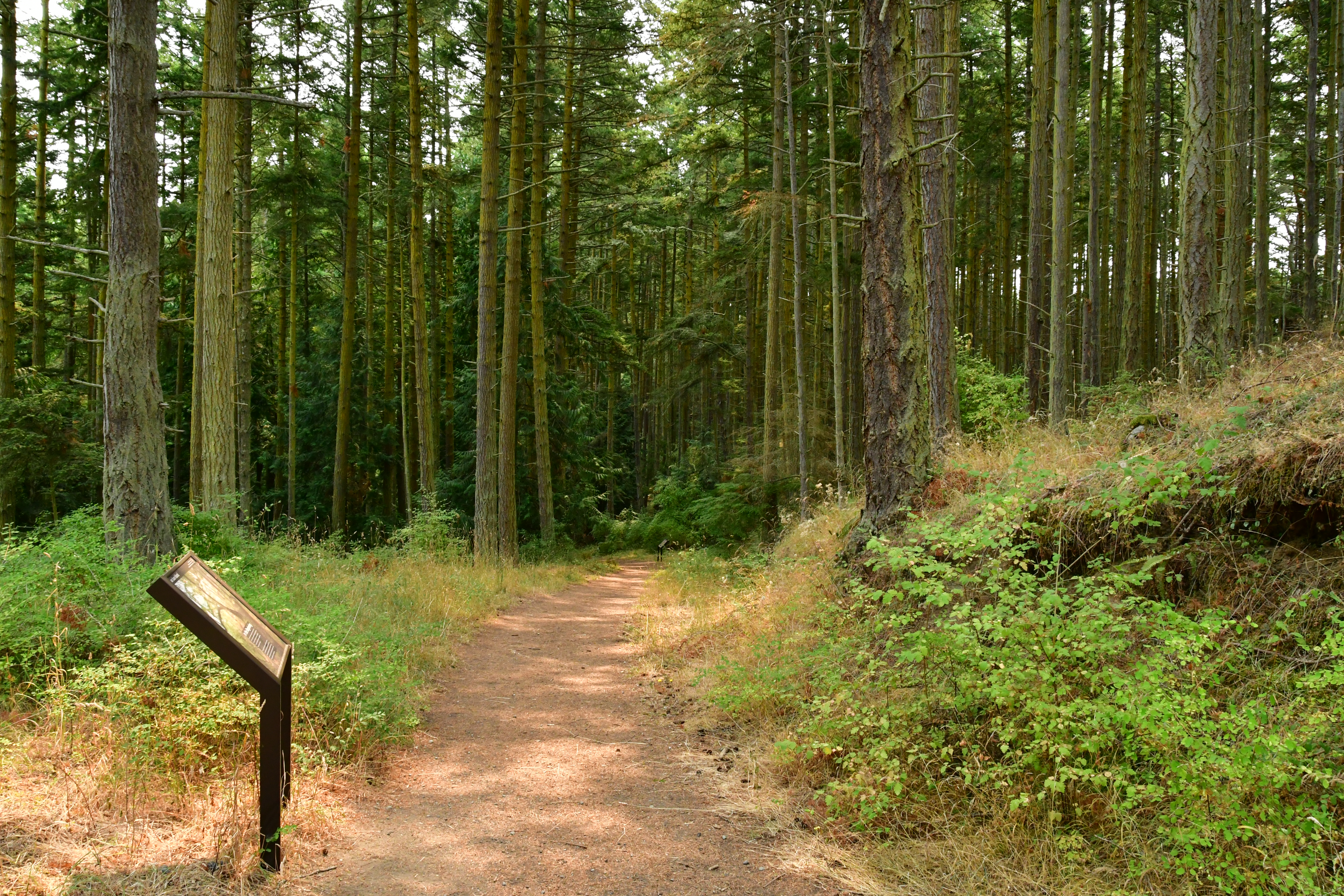
This 1.0 mile trail, beginning at the Jakle’s Lagoon Trail is an excellent forest and seaside ramble featuring interpretive signs that educate young visitors about the ecosystems of the Pacific Northwest. This area was once heavily logged and deforested to produce open farm fields. It has regenerated in the past 75 years and is once again a forest. Visitors will learn to identify tree species such as Douglas firs, hemlocks and cedars. They will learn about nurse logs and their role in producing the next generation of trees. Interpretive signage also provides young visitors with information about the shrubs that live in the forest's understory, such as sword ferns, salal, and oceanspray plants as well as the lichens and mosses that live on the forest floor.
The interpretive signage provides an imaginative way to connect young people to their environment. Animals, such as foxes, eagles, hawks, voles, and woodpeckers may be encountered during your visit. The Nature Walk visits the forest and grasslands, but a short .2 mile detour at the trail’s midpoint allows visitors to drop down to Jakle’s Lagoon where you can explore a saltwater lagoon on the edge of the Salish Sea. Jakle’s Lagoon is named after George Jakle, one of the soldiers in American Camp [LINK] who settled in San Juan Island after the end of the border conflict and became the first lighthouse tender in the Cattle Point area. In this unique and fertile environment you can encounter visiting aquatic mammals such as harbor seals, whales, and smaller creatures such as crabs and starfish.
Accessibility This is an easy trail along an unpaved trail. It is a 1 mile long loop with 70 feet of elevation gain.
Jakle’s Lagoon Trail
Mount Finlayson Trail
Hike The Mount Finlayson Loop Trail the Park Service's write-up
1-2 Hours · dogs allowed
Start Mount Finlayson Trailhead
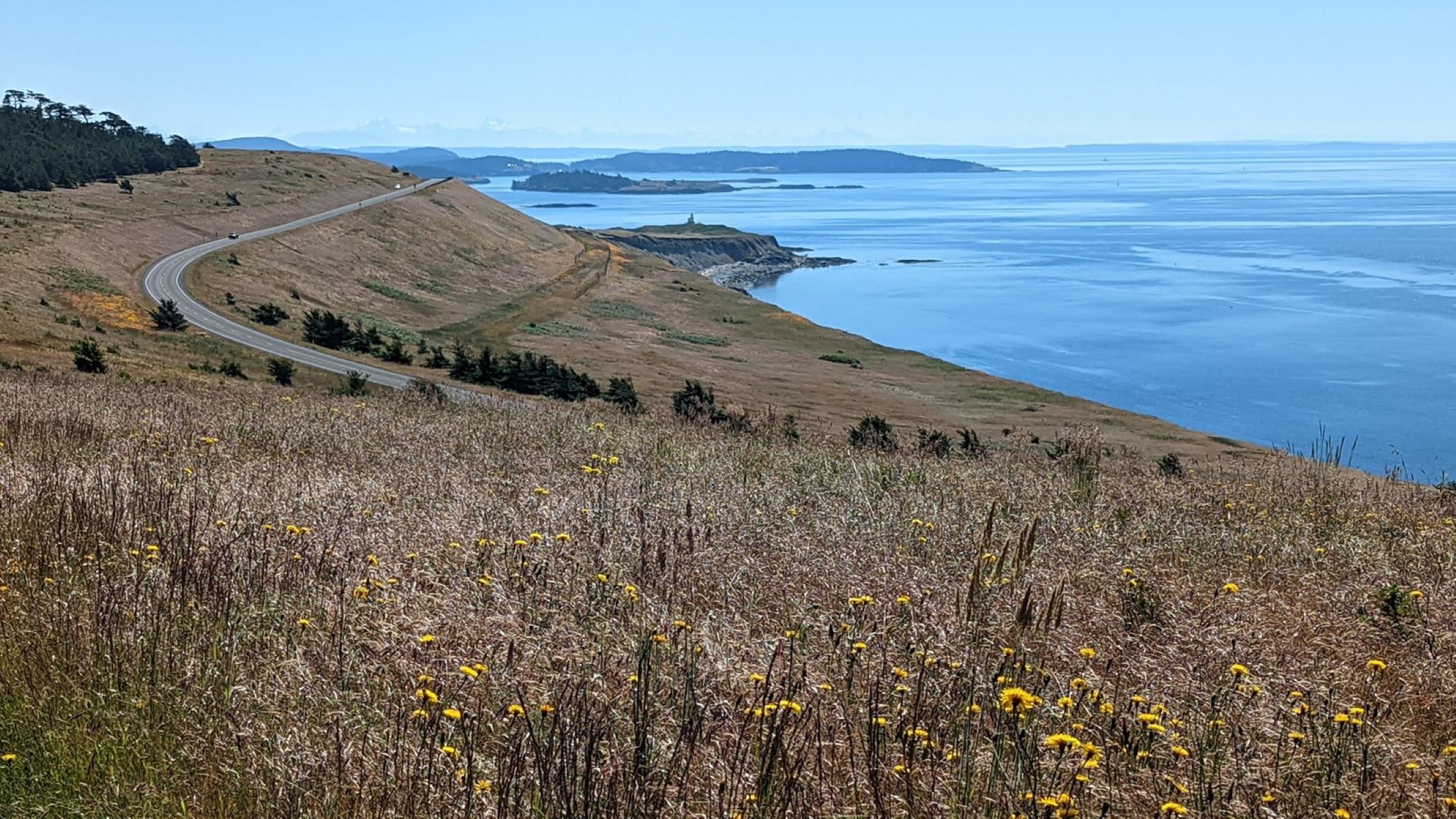
The Mount Finlayson Loop Trail begins at the Jakle’s Lagoon Trail on the side of the parking lot nearest Cattle Point Road. On a clear day, hikers will enjoy breathtaking views of the Olympic Peninsula , Cascade Mountains , nearby islands, and Mount Rainier in the distance. As you cross the meadows, you may encounter foxes, eagles, and deer who live on this island. At 0.3 miles, you will encounter the junction with the Nature Trail. 0.25 miles later, you will ascend Mount Finlayson; at this point, you can shorten your hike by taking a connecting trail to Second Lagoon which loops back toward the trailhead or continue another 0.3 miles further for a longer loop.As the trail loops back, you walk down a long road through second-growth forest.
This area of San Juan Island was extensively logged during the 1800s and this forest has regenerated since its extensive exploitation. Today’s forest is lush with numerous Douglas Firs, wild roses, and ferns. As you walk back towards the trailhead, small side trails offer you the opportunity of visiting and exploring Third Lagoon, Second Lagoon, and Jakle’s Lagoon.
Accessibility This is a moderate trail that is 2.9 miles long and includes 380 feet of elevation gain.
Officer's Quarters
Hike Officer's Hill the Park Service's write-up
dogs allowed
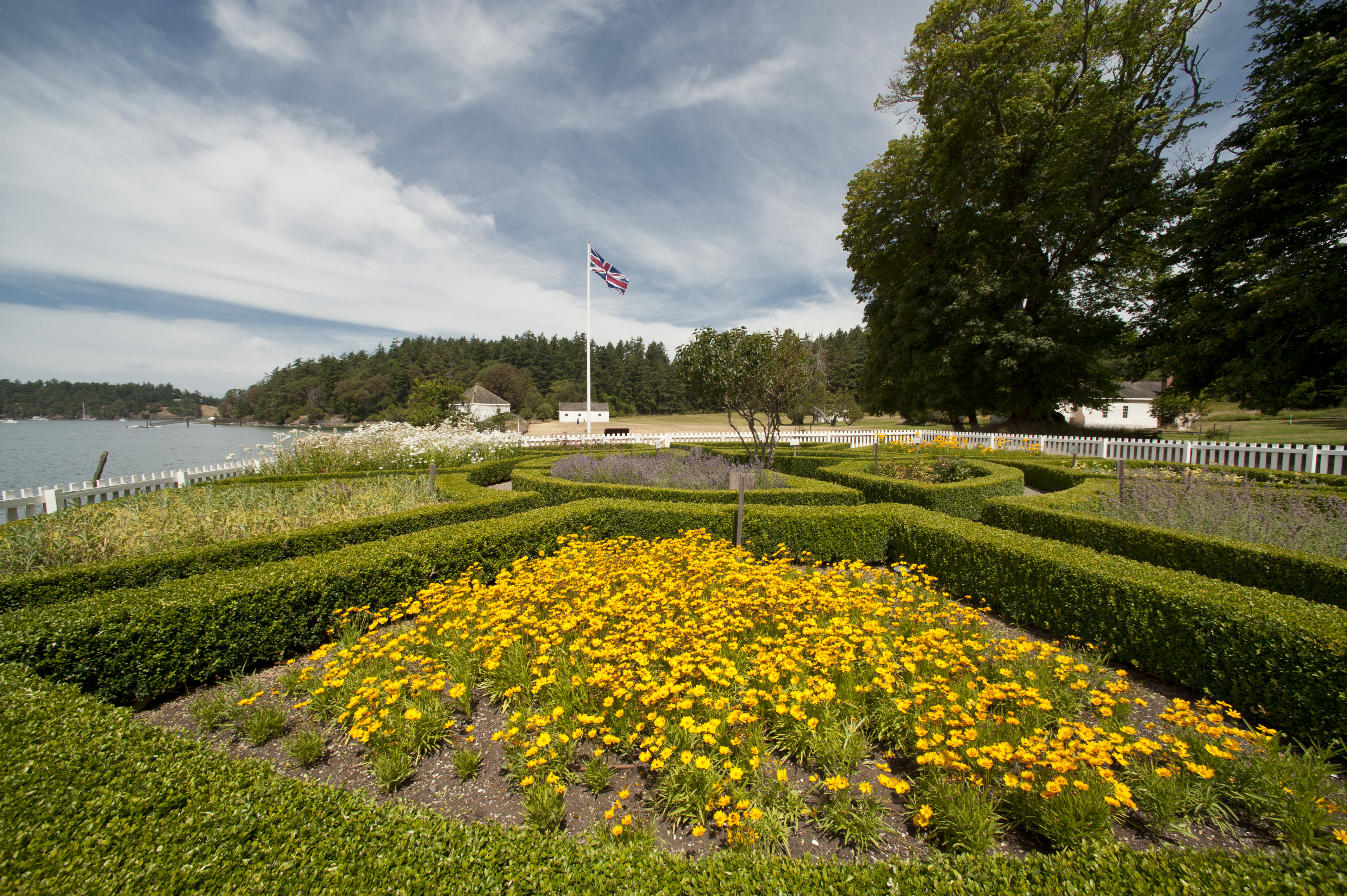
The trails surrounding the Officers’ Quarters at English Camp offer a captivating journey through history and nature. As you hike along these paths, you’ll experience the same stunning views that British commanders enjoyed during their time on San Juan Island. The well-marked trail leads you through a British garden and towering forests, with interpretive signs that share the stories of the Royal Marines who occupied this area.
The trail has a moderate incline and stairs leading to the garden. Be sure to take your time as you navigate the area, and keep an eye out for the remnants of the historic buildings that once stood here. At various points along the trail, you’ll find scenic overlooks that provide glimpses of the picturesque harbor and surrounding landscapes.
Read more about the history of the officers' quarters.
Accessibility This is a short 0.3 mile hike along an unpaved trail that includes 127 feet of elevation gain. There are stairs leading to the formal garden.
Old Military Road Trail
Visitor centers
Along the way Visitor Center
Hike the Old Military Road Trail the Park Service's write-up
dogs allowed
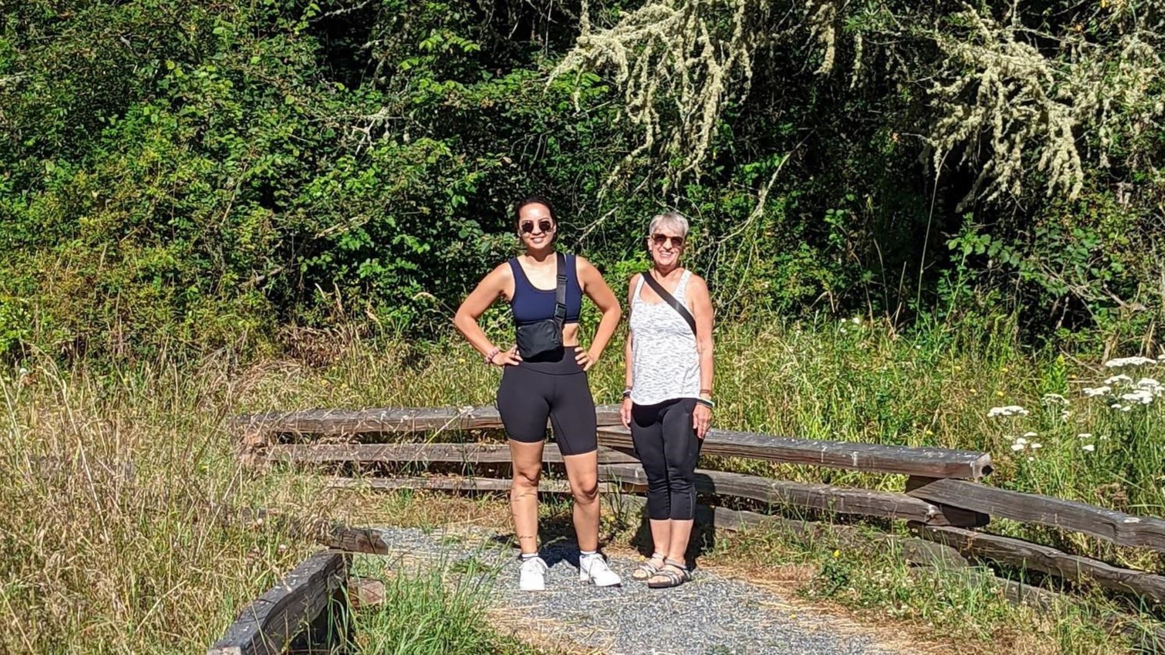
The Old Military Road Trail (also known and more often signed as “The American Camp Trail”) is a 1 mile trail that takes visitors from the American Camp Visitor Center to the Frazer Homestead Preserve. It passes through forests and wetlands where deer and foxes live. The trail continues another 5 miles beyond the Frazer Homestead Preserve, ending in the town of Friday Harbor. The route is only partially off-trail, with hikers routed onto Cattle Point Road and Golf Course Road for a significant portion of the trail. At the end of the golf course, the trail crosses the road and continues next to the Friday Harbor Airport, allowing excellent opportunities to watch planes take off and land. The Old Military Road has a storied history.
The first formal roads on San Juan Island were built by the Hudson’s Bay Company, primarily utilizing contract laborers from the Cowichan Tribe, to connect a series of sheep runs on this island operated by their subsidiary, The Belle Vue Sheep Farm. The Old Military Road utilized and improved upon that road network to create a route that connected American Camp and English Camp during the Joint Occupation of San Juan Island (1860-1872). This route allowed the commanders of both militaries to communicate quickly and resolve disputes that emerged during the Joint Occupation. Towards the end of the Joint Occupation, a telegraph line was laid to provide even quicker communication, demonstrating the importance of the Old Military Road in helping to keep the peace on San Juan Island. As you walk this trail, you will follow in the historic footsteps of the many groups of people who made the Old Military Road possible.
Accessibility The trail is 0.6 miles in the American Camp section, however the trail continues longer outside of the park. It is an unpaved trail that crosses Cattle Point Road and includes 88 feet of elevation gain.
Parade Ground Trail
Redoubt
South Beach Trail
Hike the South Beach Trail the Park Service's write-up
dogs allowed
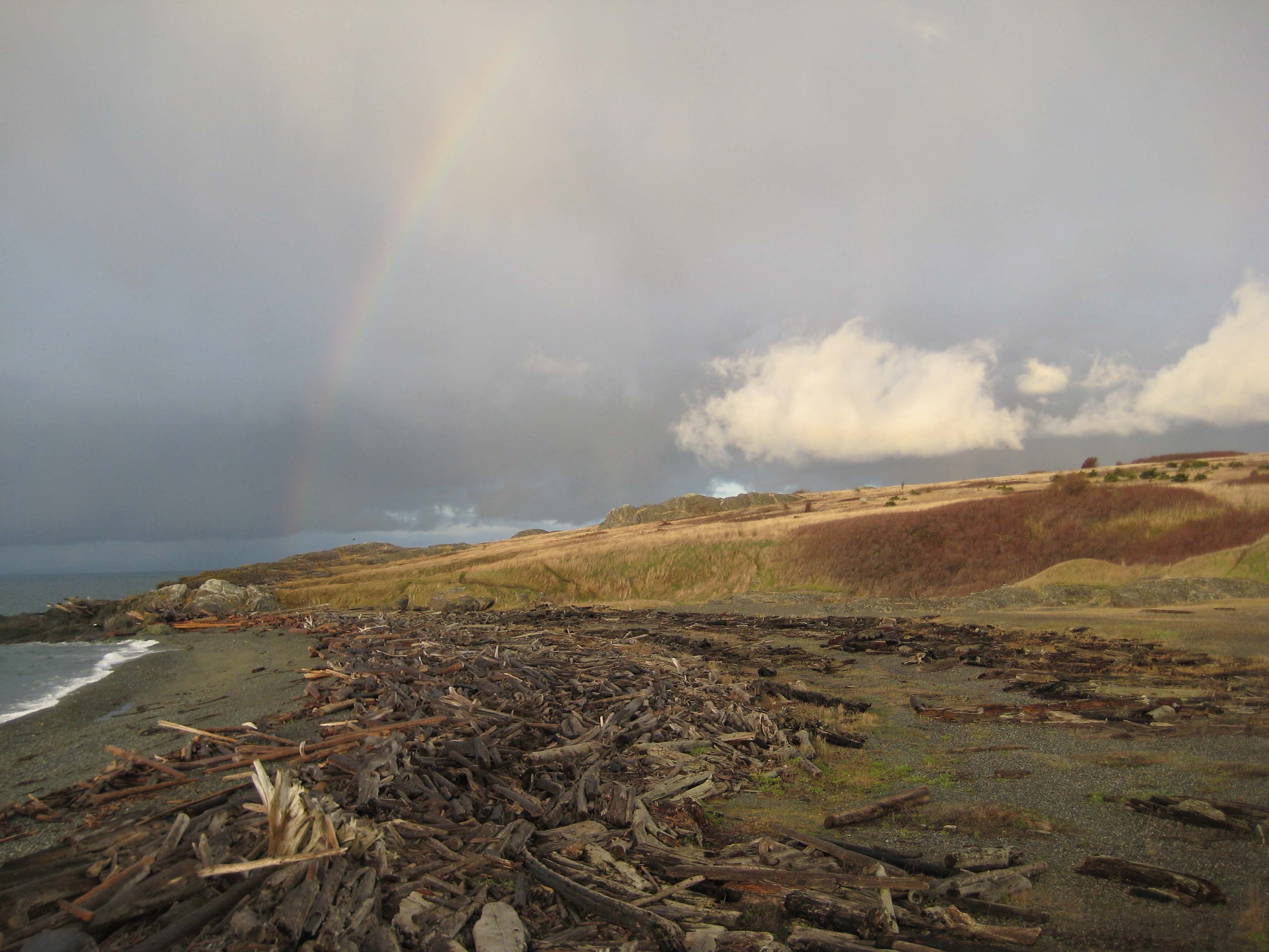
The South Beach Trail is a 1.0 mile trail that traverses the American Camp prairie, connecting the Parade Grounds and South Beach at American Camp. The trail begins just after the historic structures at American Camp, heading straight and on level ground directly below The Redoubt . The trail slopes gently as you walk down towards South Beach at the trail's end. To the east, the trail provides fabulous views of the North Cascades dominated by Mount Baker, the waters of Griffin Bay, Lopez Island, and the vibrant coastal prairie, where foxes, rabbits, voles, snakes, and eagles can be found. To the west, visitors can take in the waters of the Salish Sea and view the Olympic Peninsula a mere 13 miles away.
This hike can be combined with the Coastal Bluffs Trail for an easy 2.0 mile loop trail which gives visitors access to the beaches at Grandma's Cove and South Beach. It can be wet and slippery during the winter, so plan accordingly to stay safe.
Accessibility The beaches of San Juan Island all take a walk of 100 feet or more to reach. Many of these areas are uneven and narrow trails that may traverse sand without stabilizing features. All pocket beaches descend down fairly steep trails. Unfortunately, no trails at American Camp meet all ADA standards for trails. However, there are some trails that most visitors with mobility impairment find very easy to navigate! This includes the trail from the visitor center to The Redoubt, and some of the trails that start at the Jakle's Lagoon parking lot. Please contact the American Camp visitor center for specific information.
Young Hill Backside
Young Hill Trail
Hike to Young Hill the Park Service's write-up
dogs allowed
Start Young Hill Trailhead
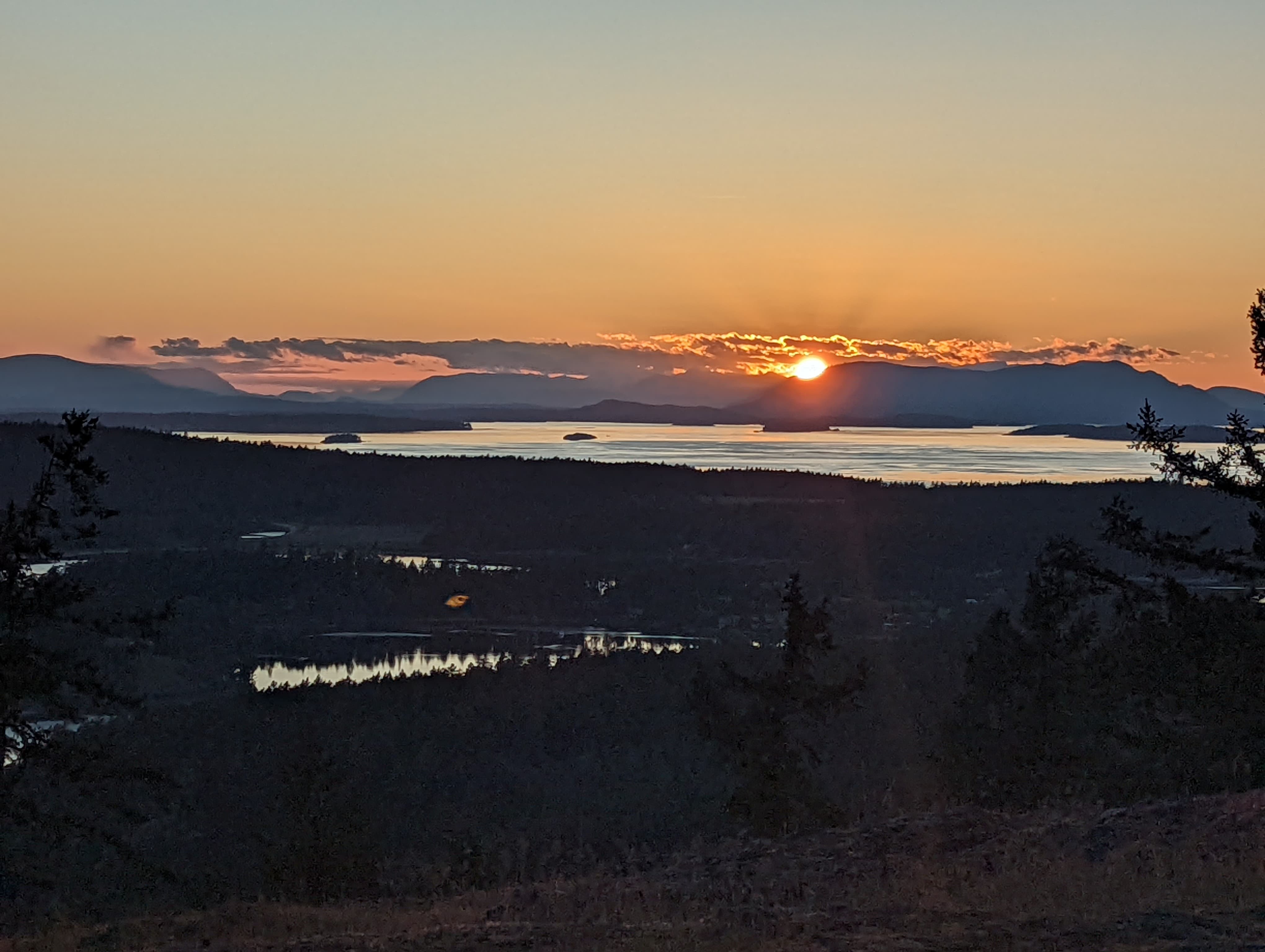
On a clear day, the hike to the top of Young Hill provides a panoramic view of San Juan Island’s bays, English Camp, and Vancouver Island. During the joint occupation (1860-1872) visitors from Victoria regularly climbed to the top of Young Hill and took in its impressive vantage point. This trail allows visitors to follow in their footsteps.
The 1.9 mile out-and-back trail is steep, climbing 566 feet to reach Young Hill’s 650-foot summit. Along the way, exercise caution as you cross San Juan Valley Road .3 miles into the hike and carry water, as none is available on the way. At .4 miles into the hike, you will cross a short spur trail that leads to the English Camp Cemetery the final resting place of 6 members of the Royal Marines and one civilian who died during the joint occupation of San Juan Island. At .8 miles into the hike, the woods clear, providing you with your first viewpoint out into the bay. 1 mile into your hike you will reach the end of the trail with stunning views and excellent rocks for an informal picnic.
Accessibility This is a moderate hike along an unpaved trail. It is 1.9 miles round trip and includes 566 feet of elevation gain.
6 more mapped segments without a name are on the map, not in the list.
More hikes the Park Service describes
Write-ups that name no single mapped trail, in the Service's words.
- Hike the Mitchell Hill Easy Loop · dogs allowed
The Mitchell Hill Easy Loop follows the Inner Loop Road trail - a picturesque journey through the lush landscapes at English Camp. - Hike the Mitchell Hill Moderate Loop · dogs allowed
The Mitchell Hill Moderate Loop incorporates some of the best trail segments along a slightly more challenging route. The trail takes you through a dense cedar grove and to the top of Mitchell Hill. - Hike to Fourth of July Beach · dogs allowed
This beach access is a great way to explore the shoreline and the lagoons. Walking south will take you to Old Town Lagoon.
About these trails
The lines are the National Park Service's public trails layer, the trailheads and the waterfalls, views, peaks and historic places along them the Service's public points of interest, read 2026-10-14 and simplified for the map. The write-ups are the Service's own "things to do", unedited. Heights come from USGS 3DEP through Terrain Tiles on AWS (Mapzen/Tilezen), read along each line and rounded; a short trail on steep ground can be off by a few tens of feet. Closures change: check the park's own site before you go.