
South Beach Trail
Hike the South Beach Trail 2 mi loop · the Park Service's write-up
dogs allowed
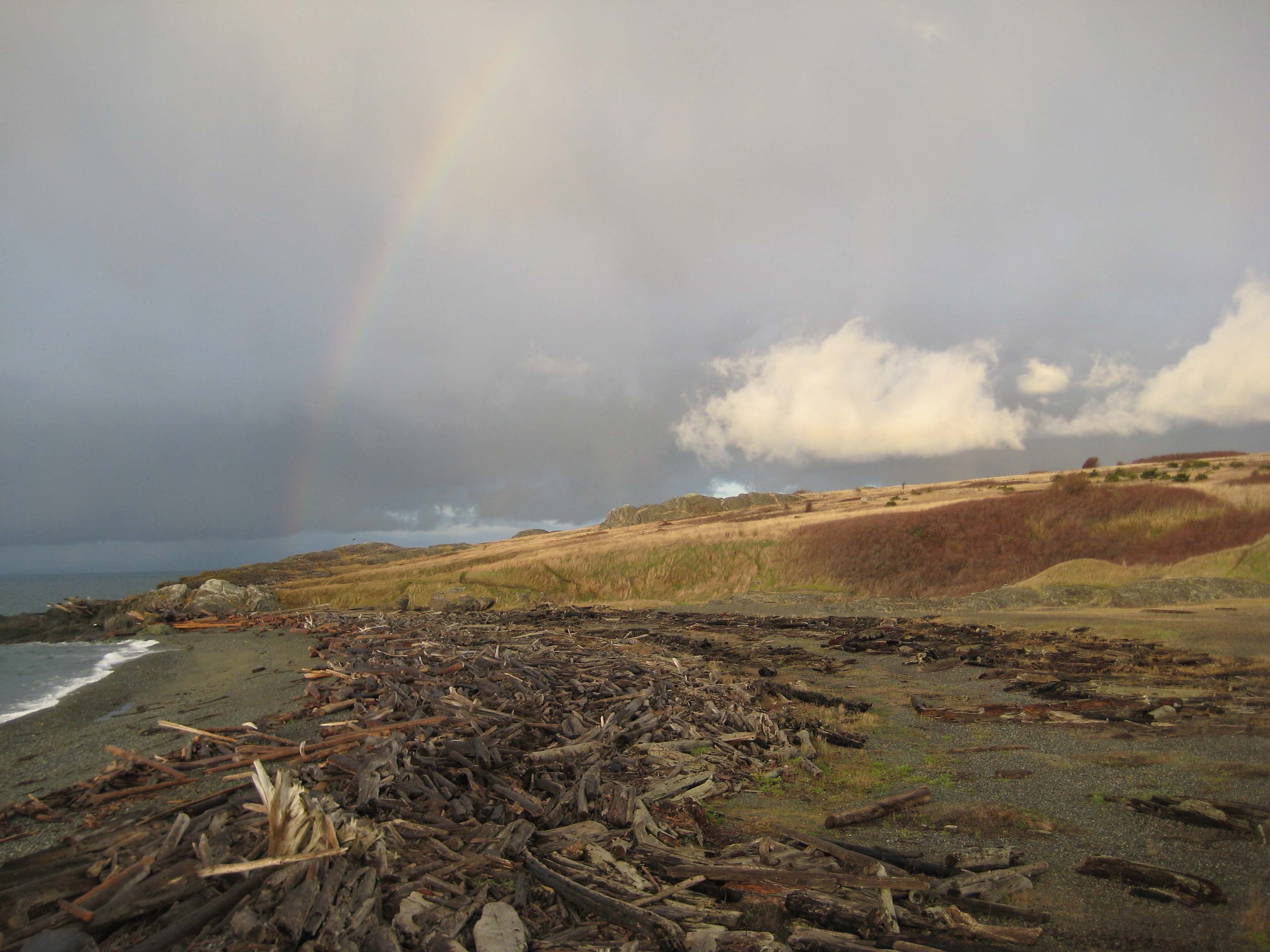
The South Beach Trail is a 1.0 mile trail that traverses the American Camp prairie, connecting the Parade Grounds and South Beach at American Camp. The trail begins just after the historic structures at American Camp, heading straight and on level ground directly below The Redoubt . The trail slopes gently as you walk down towards South Beach at the trail's end. To the east, the trail provides fabulous views of the North Cascades dominated by Mount Baker, the waters of Griffin Bay, Lopez Island, and the vibrant coastal prairie, where foxes, rabbits, voles, snakes, and eagles can be found. To the west, visitors can take in the waters of the Salish Sea and view the Olympic Peninsula a mere 13 miles away.
This hike can be combined with the Coastal Bluffs Trail for an easy 2.0 mile loop trail which gives visitors access to the beaches at Grandma's Cove and South Beach. It can be wet and slippery during the winter, so plan accordingly to stay safe.
Accessibility The beaches of San Juan Island all take a walk of 100 feet or more to reach. Many of these areas are uneven and narrow trails that may traverse sand without stabilizing features. All pocket beaches descend down fairly steep trails. Unfortunately, no trails at American Camp meet all ADA standards for trails. However, there are some trails that most visitors with mobility impairment find very easy to navigate! This includes the trail from the visitor center to The Redoubt, and some of the trails that start at the Jakle's Lagoon parking lot. Please contact the American Camp visitor center for specific information.