
Old Military Road Trail
Visitor centers
Along the way Visitor Center
Hike the Old Military Road Trail the Park Service's write-up
dogs allowed
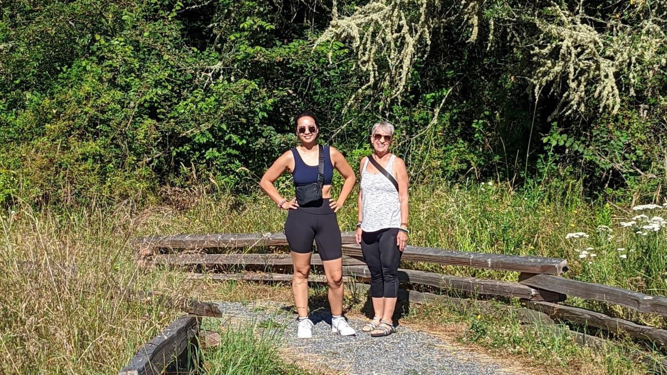
The Old Military Road Trail (also known and more often signed as “The American Camp Trail”) is a 1 mile trail that takes visitors from the American Camp Visitor Center to the Frazer Homestead Preserve. It passes through forests and wetlands where deer and foxes live. The trail continues another 5 miles beyond the Frazer Homestead Preserve, ending in the town of Friday Harbor. The route is only partially off-trail, with hikers routed onto Cattle Point Road and Golf Course Road for a significant portion of the trail. At the end of the golf course, the trail crosses the road and continues next to the Friday Harbor Airport, allowing excellent opportunities to watch planes take off and land. The Old Military Road has a storied history.
The first formal roads on San Juan Island were built by the Hudson’s Bay Company, primarily utilizing contract laborers from the Cowichan Tribe, to connect a series of sheep runs on this island operated by their subsidiary, The Belle Vue Sheep Farm. The Old Military Road utilized and improved upon that road network to create a route that connected American Camp and English Camp during the Joint Occupation of San Juan Island (1860-1872). This route allowed the commanders of both militaries to communicate quickly and resolve disputes that emerged during the Joint Occupation. Towards the end of the Joint Occupation, a telegraph line was laid to provide even quicker communication, demonstrating the importance of the Old Military Road in helping to keep the peace on San Juan Island. As you walk this trail, you will follow in the historic footsteps of the many groups of people who made the Old Military Road possible.
Accessibility The trail is 0.6 miles in the American Camp section, however the trail continues longer outside of the park. It is an unpaved trail that crosses Cattle Point Road and includes 88 feet of elevation gain.