
Bell Point Trail
Hike the Bell Point Loop the Park Service's write-up
dogs allowed
Start Bell Point Trailhead
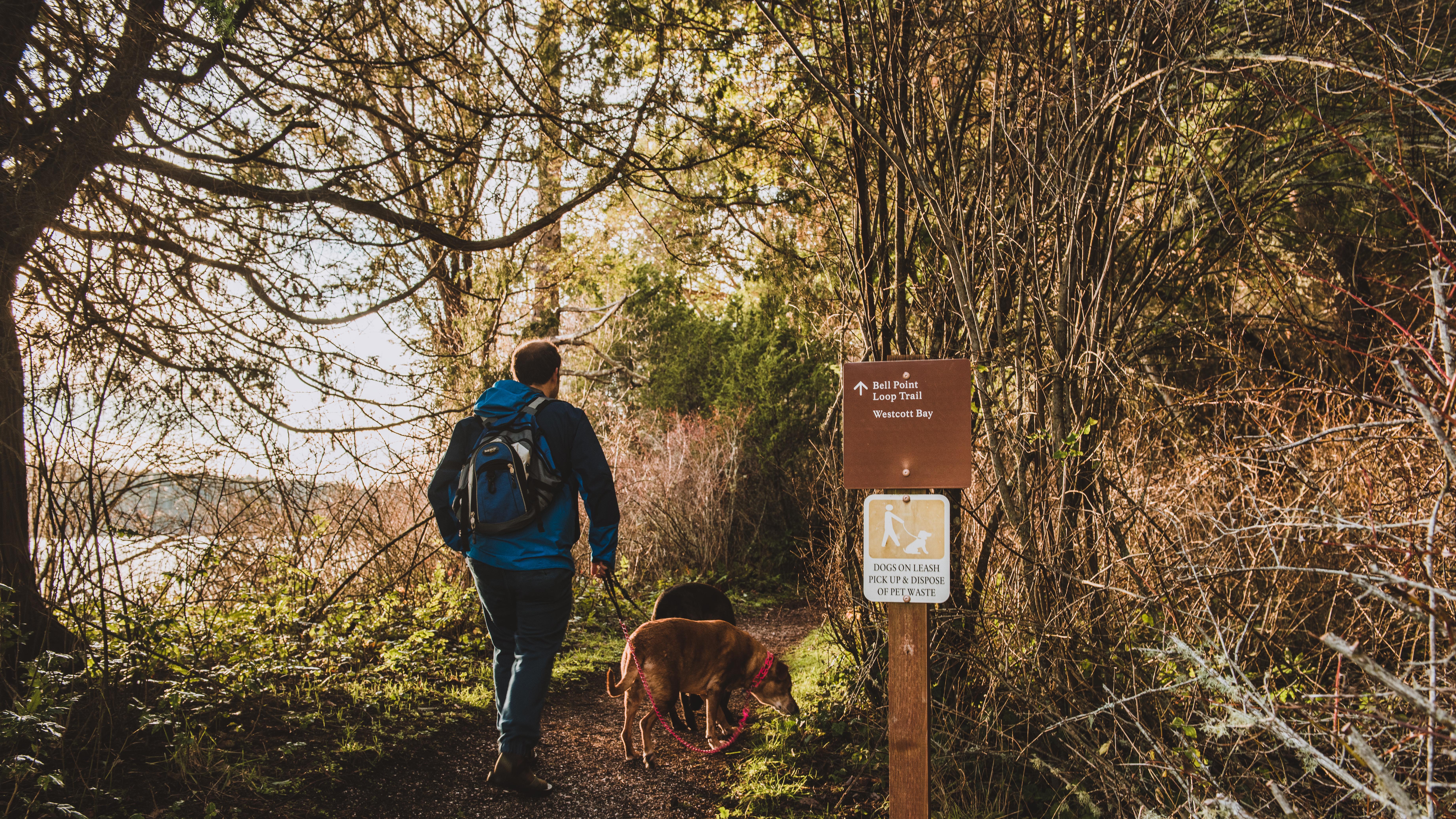
The Bell Point trail traverses a mature madrona forest and hugs the shores of Garrison Bay and Westcott Bay. At 0.1 miles into the trail, you will pass by the English Camp Dinghy Dock. At 0.5 miles, a short spur trail which leads to Bell Point and a small picnic area with waterfront views is a short walk from the Bell Point trail. 0.7 miles in the Bell Point Trail intersects with the Westcott Bay trail which traverses woodlands and leads to a former farm and wetlands that are a part of the English Camp unit.
At 1.2 miles, the trail ends not far from where it started. Visitors have the choice of walking across the parade ground or continuing on the old farm road constructed by the Crook Family. On this route, you will pass the Crook House on your way to the English Camp parking lot where there are picnic facilities and where you can access the Young Hill trailhead for more hiking.
As you walk on the Bell Point trail, keep your eyes peeled for wildlife. Amongst the inhabitants of these woods are bald eagles, deer, and flying squirrels. The vegetation also includes opportunities for foragers, including wild grapes, Himalayan blackberries, and salmonberries.
Accessibility 1.2 miles round trip 40 ft elevation gain
Hike the Westcott Bay Trail the Park Service's write-up
dogs allowed
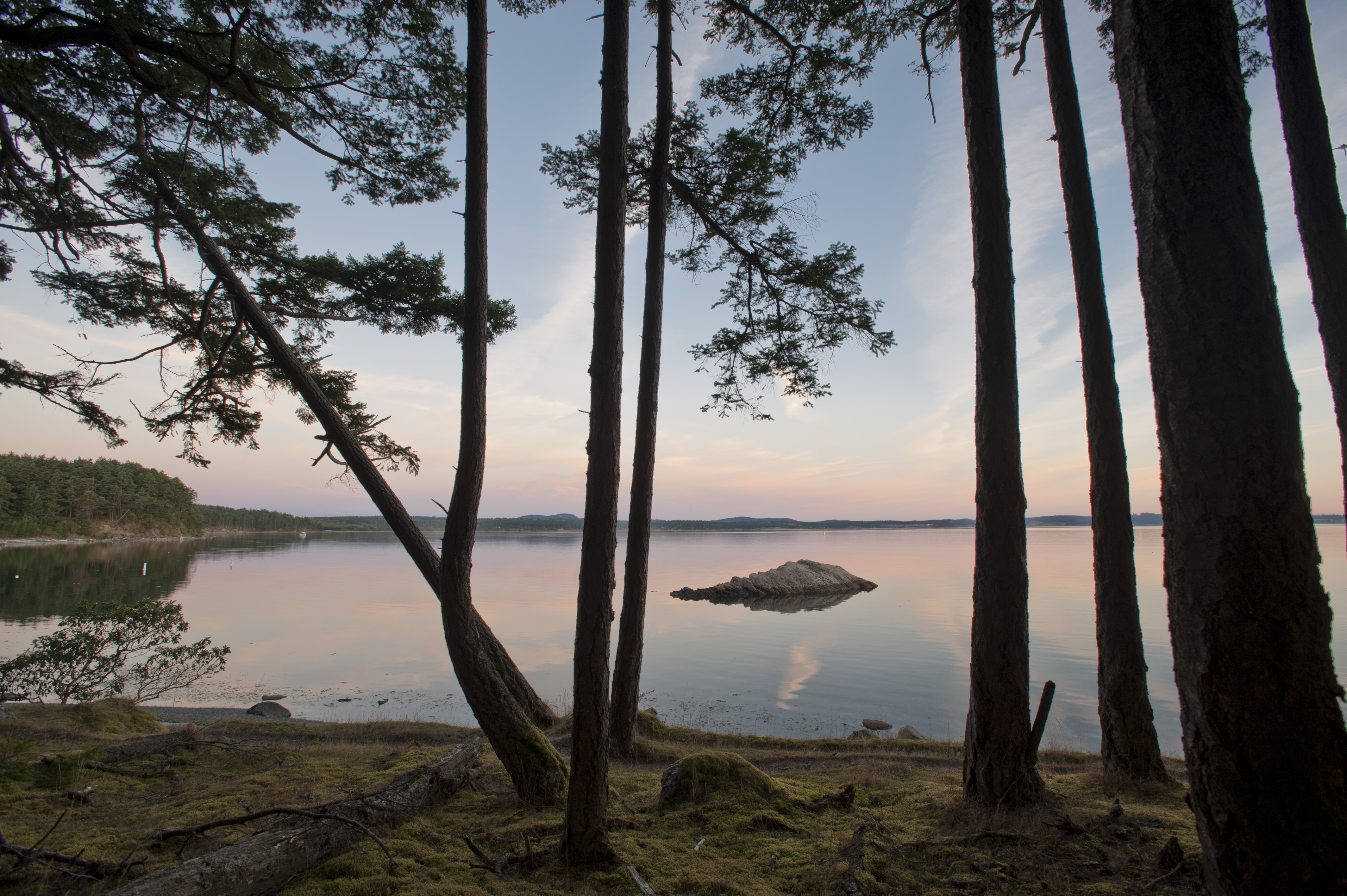
The Westcott Bay Trail is a 1.0 mile trail that hugs the shore of Westcott Bay, a tranquil section of shoreline to the East of English Camp. Like nearby Garrison Bay, these waters produce prolific shellfish resources which have been stewarded by Coast Salish people since time immemorial. Euro-Americans have also taken advantage of these resources; this part of our park was a shellfish farm for decades before it was made a part of our park in 2013.
Unlike other trailheads in our park, there is no parking available at the Westcott Bay trailhead, so most visitors take this trail as part of the Bell Point Loop. 40 feet to the north of the trailhead, you will find a historic orchard with Italian plums, heirloom pears, and apples that visitors are allowed to forage when in season in the early fall. The land this trail traverses a part of English Camp during the Joint Occupation of San Juan Island. The English chose this location for its abundant water resources and during springtime you will cross seasonal creeks that flow after heavy rains on the island.
The Westcott Bay trail ends at the Bell Point Loop Trail. If you take a turn to the right, you will reach a picnic table just beyond the trail intersection with views of Bell Point. Just beyond the picnic table is Bell Point, where visitors can access a beach with tidepools during low tide. Continue down the Bell Point Trail to reach the English Camp Parade Grounds, where you can see historic structures and learn more about our history. Beyond the Parade Grounds is the Young Hill Trail, a short but steep trail which takes you to the Royal Marines’ Cemetery and a summit with fantastic views of Victoria and the Strait of Juan De Fuca.
Accessibility This trail is 0.6 miles one way from Bell Point Trail to Westcott Bay. Is is unpaved and includes 80 feet of elevation gain.