
High Meadows Trail
Hike to the Taylor Farm Site the Park Service's write-up
30-120 Minutes · dogs allowed · entrance fee applies
Start Taylor Farm Site
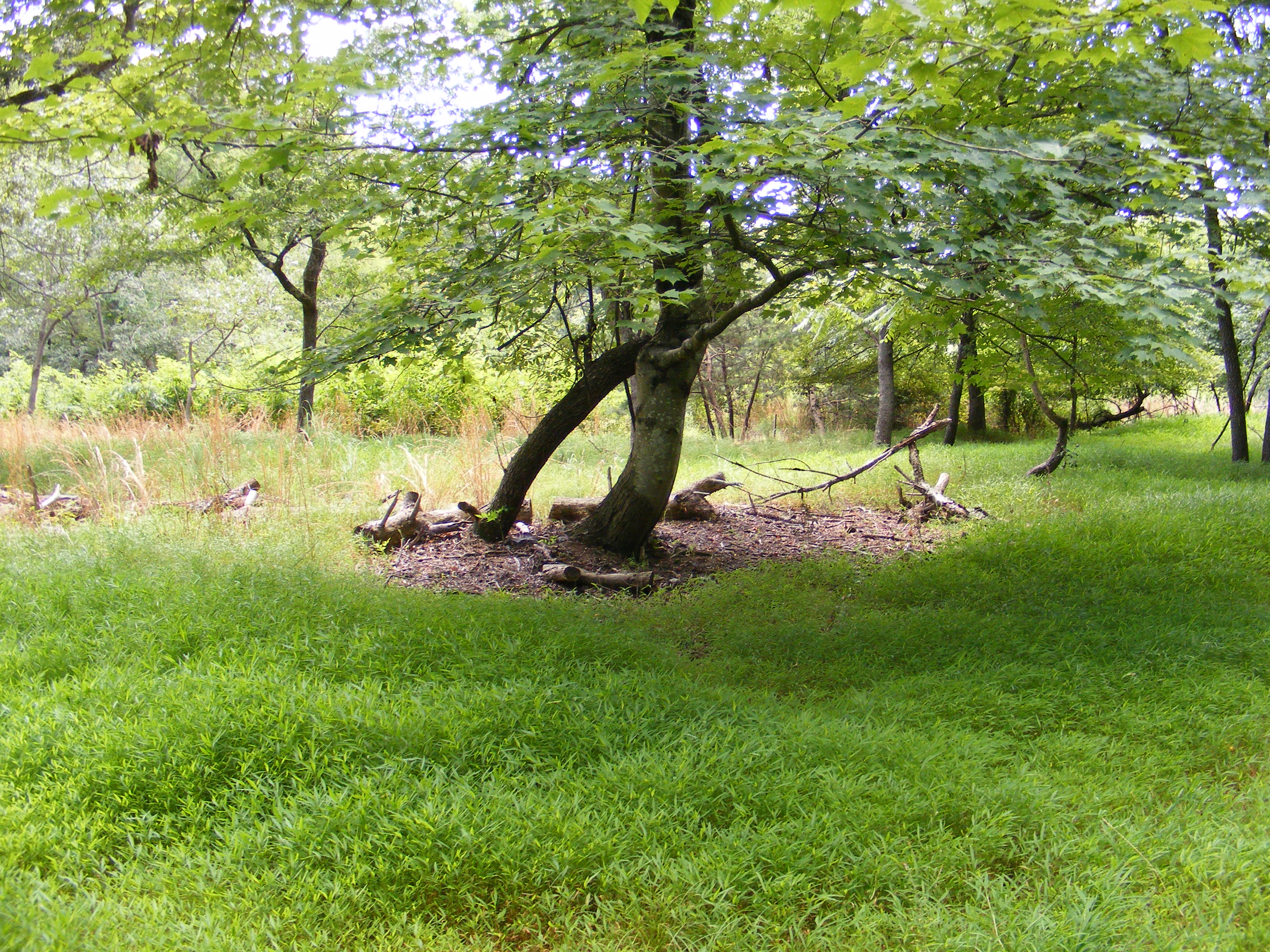
Prince William Forest Park was built from land that had belonged to quite a few different family farms. Evidence of these farms can be seen in the remains of the foundations of farm houses and buildings, the fruit trees and flower beds that still grow nearby, and the occasional pieces of dishes or other artifacts found on the forest floor. If you see any of these artifacts, please leave them where you found them and let a ranger know!
The Taylor family farm was one of the farms located near the center of what is now Prince William Forest Park in the early 1900s. The Taylor family farmed wheat, corn, and oats as well as a vegetable plot and orchard with walnut and a variety of fruit trees. They also raised cows and hogs and operated a small country store on their property. While not much evidence of the farm remains, an open field in the forest as well as the wisteria that grows throughout the area are indicators of this old farm site.
To visit the Taylor Farm Site, park in the Turkey Run Parking Area and follow Old Blacktop Road at the end of the parking area until its junction with Taylor Farm Road. Turn left to go south on the Taylor Farm Road until its junction with the High Meadows Trail and follow that trail south a short ways to the farm site. Alternatively, park at parking lot H and follow the High Meadows Trail northeast to the Taylor Farm site. Either way is a little over a mile out and back hike.
Accessibility The trails to get to the Taylor Family Farm site are not accessible to wheelchairs. They consist of rough gravel and dirt trails that are narrow in places and occassionaly root covered. Service animals are allowed.