
Park · Virginia
Trails in Prince William Forest Park
45 named trails · 31 miles · 2 with the Park Service's own write-up. The lines, trailheads and points are the Park Service's; the write-ups are the Service's own words; the climbing is read from USGS elevation along each line.
45 trails, A to Z.
Birch Bluff Trail
Boardwalk Platform
Bridge over South Fork Quantico Creek
Cabin Branch Mine Trail
Campsite 2 Access Trail
Campsite 4 Access Trail
Carter's Pond Wildlife Viewing Trail
CC3 Council Ring Trail
CC4 Lake 4 Trail
Chopawamsic Parking Trail
Chopawamsic Trail
Chopawamsic Backcountry the Park Service's write-up
1-14 Days · no dogs · entrance fee applies · reservation required
Start Chopawamsic Parking Area
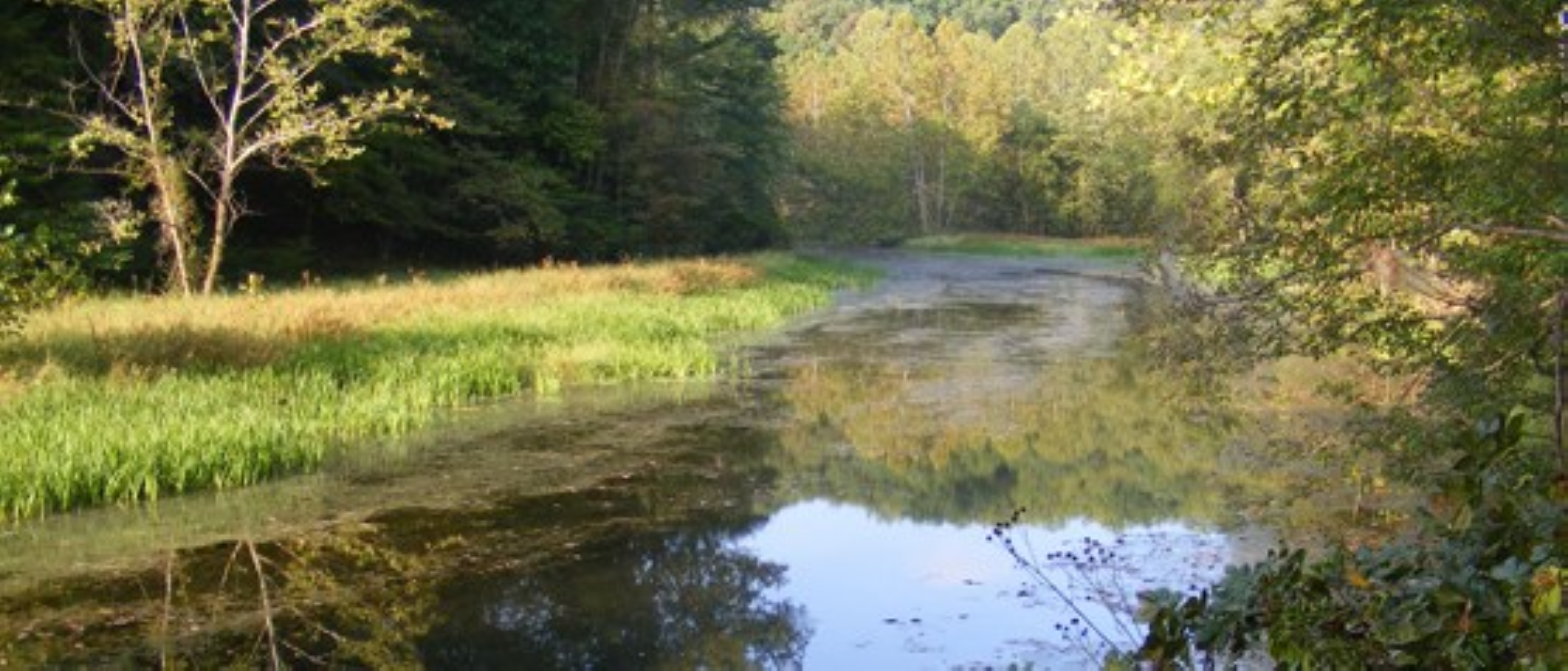
Chopawamsic (chop-ah-wahm-zik) Backcountry Area, which means by the small "divided streams" or "river flats" in Algonquian, is 1,500 acres of backcountry area with eight designated campsites. Campsites are accessible from the 2.2 mile loop trail. Access for day hiking in the backcountry area is also available.
Cost: Free
Permits are required to enter Chopawamsic Backcountry. If day hiking, permits can be obtained at the visitor center on a first come, first served basis. If camping, visit recreation.gov or call 877-444-6777 to obtain a permit (small flat fee for use of the reservation system does apply - $8 for internet reservation, $9 for phone reservation)
Know Before You Go
Chopawamsic Backcountry has eight designated tent camp sites which are identified by a post marker and are accessible from the circuit trail. Please indicate which tent site you wish to use on the permit application.
There is a single vault toilet at the trailhead for Chopawamsic. Please use 'Leave No Trace' practices and dispose of human waste no less than 200 feet from a water source and cover all waste with leaf matter if camping. Please do not use toilet paper or leave litter.
There are no trash cans at Chopawamsic. Please pack out what you packed in.
Tents must be located within 40 feet of the post marker.
Maximum stay is seven consecutive days or 14 days in one calendar year.
Open fires are strictly prohibited. All cooking must be done on a camp stove.
Trenching, leveling or digging is not permitted in any campsite. Bringing straw, hay, pine boughs or any vegetative materials to any campsite is prohibited.
Ropes, clotheslines, tent lines and nails are not to be attached to trees or other vegetation. Hammocks are allowed with straps that are at least 1 & 1/2" and are not affixed to a tree less than 6" in diameter.
The following are prohibited in the backcountry: fireworks, pets, swimming, use of power tools, hunting and trapping, any weapon (excluding firearms) including BB and pellet guns, paintball and paint guns, and bows and arrows.
Firearms are permitted in accordance with Virginia State laws .
Camping is limited to groups consisting of four people or less per site in the Chopawamsic Backcountry area. Chopawamsic is not designed for groups. Group camping is available at Turkey Run Ridge Campground.
Fishing
Fishing is permitted from the National Park Service' side of the Breckenridge Reservoir with a valid Virginia state fishing license. To fish from a non-motorized boat or from Quantico Marine Corps Base' side of the reservoir, a Marine Corps base permit is required. Call the base at 703-784-5270 Wednesday through Sunday for information on obtaining a base permit.
Safety
Camping in the Chopawamsic Backcountry area can be very rewarding and peaceful. There are precautions that should be taken when camping in the backcountry. Campers should be prepared for changing weather conditions. It is always a good idea to let someone know where you are going and how long you will be gone. Many supplies are recommended for primitive camping, including a flashlight with extra batteries, pocket knife, first aid kit, nylon cord, waterproof matches, topographic map and compass, and plenty of food.
Always carry a supply of drinking water or have a method for purifying such as a filter, tablets, or boiling. Untreated water can harbor a microscopic organism called Giardia.
Pets Pets are not permitted in the Chopawamsic Backcountry Area.
Accessibility The Chopawamsic Backcountry Area is not wheelchair accessible. Trails contains steep hills in places and rough surfaces. Service animals are allowed.
Coucil Ring Trail, Cabin Camp 5
Farms to Forest
Farms to Forest Extension
High Meadows Trail
Hike to the Taylor Farm Site the Park Service's write-up
30-120 Minutes · dogs allowed · entrance fee applies
Start Taylor Farm Site
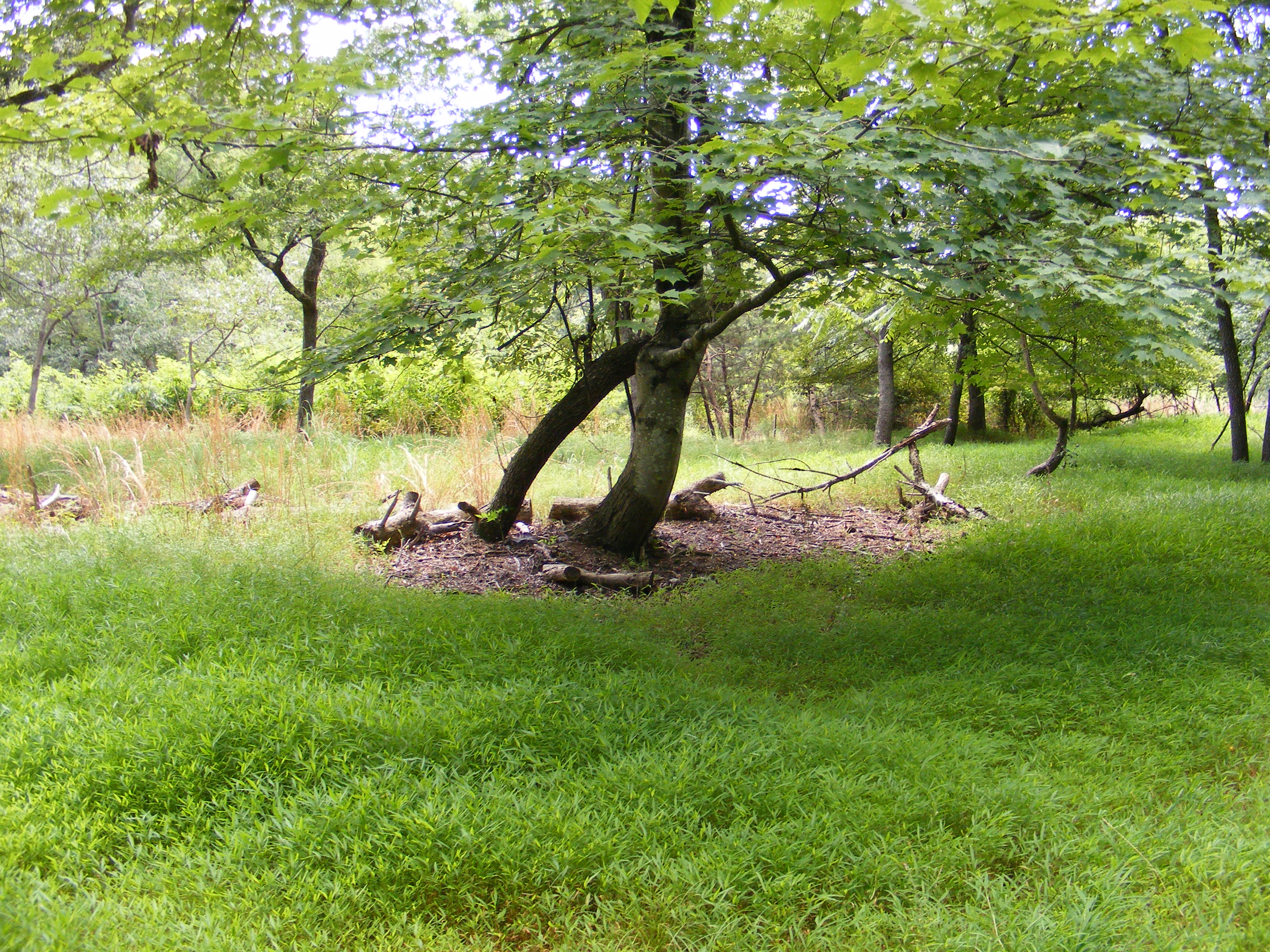
Prince William Forest Park was built from land that had belonged to quite a few different family farms. Evidence of these farms can be seen in the remains of the foundations of farm houses and buildings, the fruit trees and flower beds that still grow nearby, and the occasional pieces of dishes or other artifacts found on the forest floor. If you see any of these artifacts, please leave them where you found them and let a ranger know!
The Taylor family farm was one of the farms located near the center of what is now Prince William Forest Park in the early 1900s. The Taylor family farmed wheat, corn, and oats as well as a vegetable plot and orchard with walnut and a variety of fruit trees. They also raised cows and hogs and operated a small country store on their property. While not much evidence of the farm remains, an open field in the forest as well as the wisteria that grows throughout the area are indicators of this old farm site.
To visit the Taylor Farm Site, park in the Turkey Run Parking Area and follow Old Blacktop Road at the end of the parking area until its junction with Taylor Farm Road. Turn left to go south on the Taylor Farm Road until its junction with the High Meadows Trail and follow that trail south a short ways to the farm site. Alternatively, park at parking lot H and follow the High Meadows Trail northeast to the Taylor Farm site. Either way is a little over a mile out and back hike.
Accessibility The trails to get to the Taylor Family Farm site are not accessible to wheelchairs. They consist of rough gravel and dirt trails that are narrow in places and occassionaly root covered. Service animals are allowed.
Lake Overlook, Cabin Camp 5
Laurel Loop Trail
Link to South Valley Trail, Cabin Camp 5
Little Loop Connector
Little Run Loop Trail
Mary Bird Branch Trail
Mary Byrd Branch Trail
Muschette Trail
North Valley Trail
North Valley Trail - Boardwalk
North Valley Trail - CC 1&4 District
North Valley Trail to Quantico Falls
North Valley Trail-Laural Loop Trail Connector
Oak Ridge Trail
Parking Lot I Trail to Waterfalls
Piedmont Forest Trail
Quantico Falls Trail
South Valley Trail
South Valley Trail (SVT) Connector
South Valley Trail Connector
SVT Conncetor
The Crossing Trail
Trail to Aquatic Area, Cabin Camp 5
Trail to Council Ring
Trail to Liming Cemetery
Trail to Telegraph
Picnic areasVisitor centers
Along the way Telegraph Road Picnic Area Prince William Forest Park Visitor Center
Turkey Run Ridge Trail
Visitor Center Path
Visitor centers
Along the way Prince William Forest Park Visitor Center
Visitor Center Sidewalk
Visitor centers
Along the way Prince William Forest Park Visitor Center
5 more mapped segments without a name are on the map, not in the list.
About these trails
The lines are the National Park Service's public trails layer, the trailheads and the waterfalls, views, peaks and historic places along them the Service's public points of interest, read 2026-10-14 and simplified for the map. The write-ups are the Service's own "things to do", unedited. Heights come from USGS 3DEP through Terrain Tiles on AWS (Mapzen/Tilezen), read along each line and rounded; a short trail on steep ground can be off by a few tens of feet. Closures change: check the park's own site before you go.