
Earthquake Trail
Picnic areas
Along the way Bear Valley Picnic Area
Trailhead Earthquake Nature Trailhead 109 ft Drive there
Walk the Earthquake Trail the Park Service's write-up
15-40 Minutes · no dogs · season <h2>Winter</h2> <p>The heaviest rainfall occurs in the winter months. Come prepared for rain and drizzle to possibly last for several days. In between winter rains, it is often sunny, calm, and cool.</p> <h2>Spring</h2> <p>Most spring days are windy. Expect cool temperatures in March. By late May and early June, temperatures can be quite pleasant.</p> <h2>Summer</h2> <p>Although there is very little rain during summer months, there is often dense fog, which tends to burn off by mid-day. Afternoons are often sunny and warm to hot with a light breeze.</p> <h2>Fall</h2> <p>Point Reyes experience some of the clearest days in late September, October, and early November. The occasional storm will start rolling through in late October, bringing clouds, wind, and rain. The strongest winds occur in November and December during occasional southerly gales.</p>
Start Earthquake Trailhead at Bear Valley
Distance: 0.6 mi. (1 km) loop
Welcome to the San Andreas Fault Zone. Here, where the North American and Pacific plates scrape against one another, we witness forces of change. This world-famous fault holds secrets of geologic processes under its long bays and valleys. Looking closely, you may find clues about Earth's restlessness that shapes the land, its inhabitants, and all our lives.
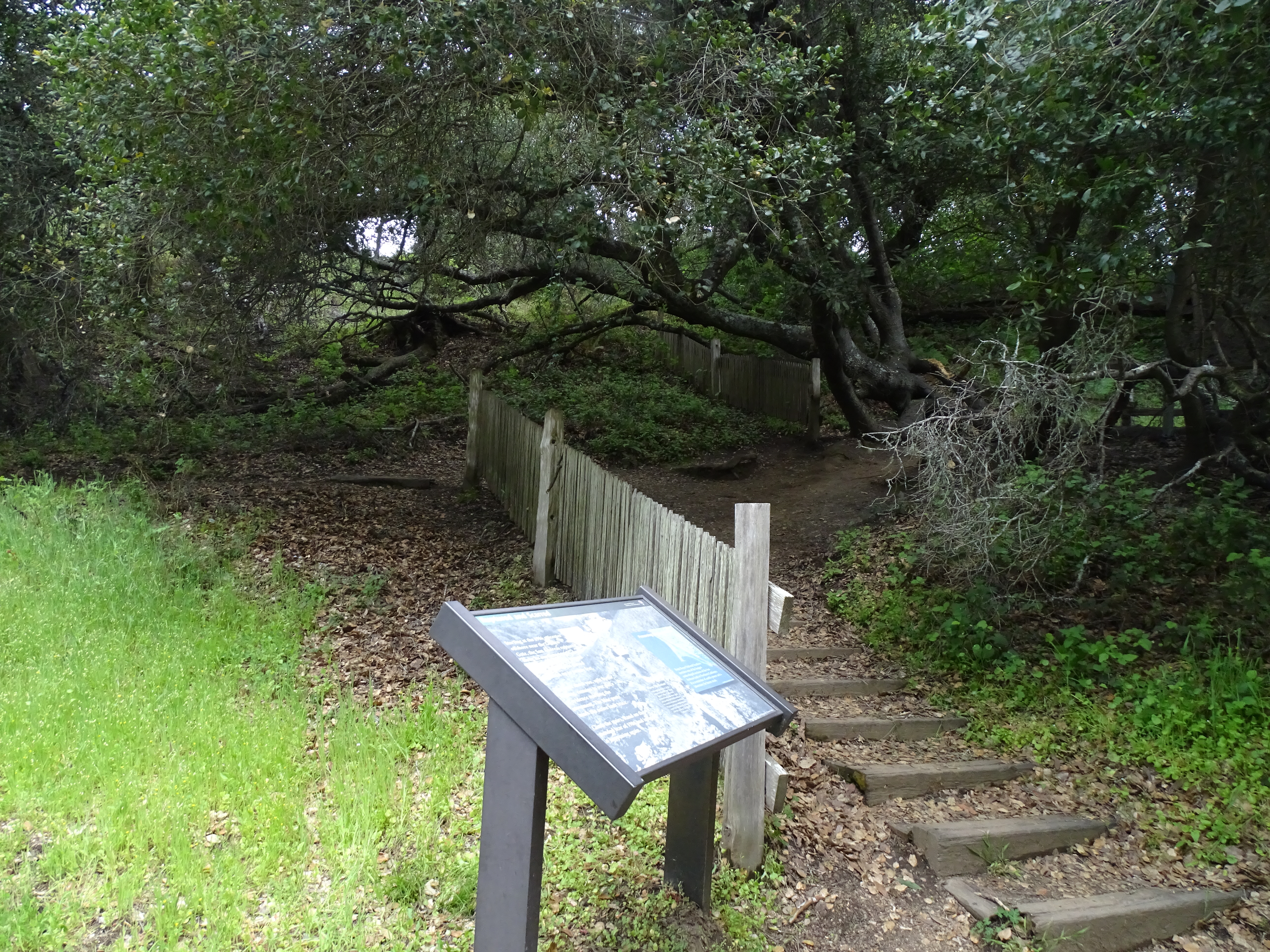
Discover the geology of the San Andreas Fault through interpretive signs on this paved loop through meadows and along a stream lined with alders and willows. A fence that was constructed half way around the trail illustrates the 16 feet (3 meters) of displacement that occurred during the infamous 1906 earthquake . (5,501 KB PDF)
The Earthquake Trailhead is at the northeast corner of the Trailhead and Picnic Area parking area at Bear Valley in Point Reyes National Seashore. Look for trailhead signs to the north (e.g., left if standing in the parking lot) of the picnic area's restroom building.
Download the Bear Valley Area Map . (427 KB PDF)
Always check current conditions before heading out into the park and familiarize yourself with park regulations . Please practice Leave No Trace principles.
Visit the park's Hiking at Point Reyes National Seashore page for hiking tips and information about trail etiquette and safety.
Visit the park's Trail Advisories and Closures page for current information about closed trails, trails blocked by trees, or other temporary hazards or advisories.
Pets Pets are prohibited on the Earthquake Trail. Visit the park's Pets page to learn where pets are welcome at Point Reyes National Seashore.
Accessibility The trail's asphalt pathway was designed to be accessible, and has gentle slopes suitable for wheelchair users. Unfortunately, over the years since it was last paved, depressions have developed in a number of locations, which precludes the pathway from currently meeting criteria for being fully accessible. Some wheelchair users may need assistance to navigate through these degraded sections of the trail. An accessible restroom and two designated parking spaces in a dirt/gravel parking lot are located at the trailhead.