
Chimney Rock Trail
Trailhead Chimney Rock Trailhead 132 ft Drive there
Hike the Chimney Rock Trail the Park Service's write-up
40-90 Minutes · no dogs · season <h2>Winter</h2> <p>The heaviest rainfall occurs in the winter months. Come prepared for rain and drizzle to possibly last for several days. In between winter rains, it is often sunny, calm, and cool.</p> <h2>Spring</h2> <p>Most spring days are windy and Chimney Rock frequently experiences strong breezes. Expect cool temperatures in March. By late May and early June, temperatures can be quite pleasant, even warm.</p> <h2>Summer</h2> <p>Although there is very little rain during summer months, there is often dense fog throughout the day in July, August and September with temperatures often 20 degrees cooler than at Bear Valley.</p> <h2>Fall</h2> <p>The coastal areas of Point Reyes experience some of the clearest days in late September, October and early November. The occasional storm will start rolling through in late October, bringing clouds, wind, and rain. The strongest winds occur in November and December during occasional southerly gales.</p>
Start Chimney Rock Trailhead, Point Reyes Headlands
Distance: 1.8 mi. (2.9 km) roundtrip
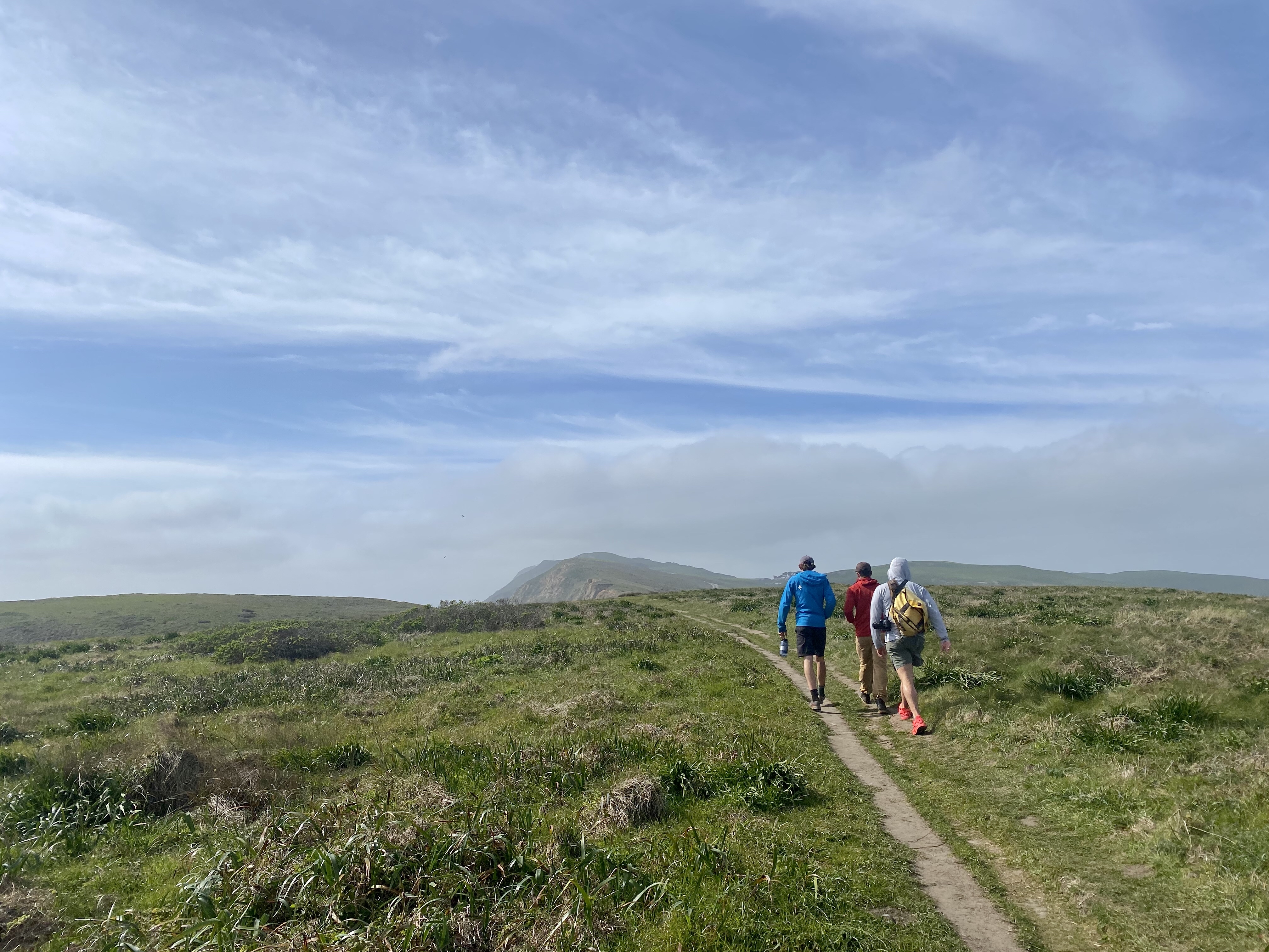
Chimney Rock Trail offers spectacular views of Drakes Bay, the Pacific Ocean , and, in spring, wildflowers along this open coastal walk. From January through May, look for gray whales as they migrate past the point.
The trail begins at the Chimney Rock Trailhead . A narrow dirt path leads to a viewpoint at the southeast end of the Point Reyes Headlands. For your safety, please stay on the official trail and stay away from the bluff tops. Every now and then, with little to no warning, coastal erosion results in cliff faces collapsing. The narrowest section of the Chimney Rock peninsula located ~0.4 miles (600 meters) along the trail and the southwest corner of the peninsula just beyond are both very prone to coastal erosion. Fissures along the bluff tops and freshly exposed vertical faces of rock are evidence of the instability of this area. Immediately beyond the narrow section, the trail climbs a short distance along a rutted section of soft rock before leveling off. After the climb, there are a number of small social trails to the right. These are not park maintained trails. Stay on the official trail, as some of the bluff tops in this area have been undercut, are unstable, and may fall into the Pacific at anytime. The trail continues down the middle of the peninsula, with views of the water in almost every direction. Listen for elephant seals barking on the beaches below. The trail ends at the southeast end of the peninsula where visitors may enjoy the view while sitting on park benches. On clear days, vistas extend to San Francisco and Montara Mountain above Half Moon Bay.
This route description alone is not a substitute for a trail map. Print out the park's Chimney Rock Area Map (125 KB PDF) before your visit, or pick up a park map or hiking map at a visitor center on your way.
Always check current conditions before heading out into the park and familiarize yourself with park regulations . Please practice Leave No Trace principles.
Visit the park's Hiking at Point Reyes National Seashore page for hiking tips and information about trail etiquette and safety.
Visit the park's Trail Advisories and Closures page for current information about closed trails, trails blocked by trees, or other temporary hazards or advisories.
Pets Pets are prohibited on the Chimney Rock Trail. Visit the park's Pets page to learn where pets are welcome at Point Reyes National Seashore.
Accessibility A narrow dirt trail leads from the parking lot along a relatively flat section for about 0.4 miles (640 meters). The trail widens and ascends about 75 feet (23 meters) along a rutted section of trail over a distance of about 720 feet (220 meters). The trail then levels and narrows again and gradually descends to the end of the trail where there are benches.