
Bass Lake Trail
Hike to Bass Lake 6 mi round trip · the Park Service's write-up
2-4 Hours · no dogs · season <h2>Winter</h2> <p>The heaviest rainfall occurs in the winter months. Come prepared for rain and drizzle to possibly last for several days. In between winter rains, it is often sunny, calm, and cool.</p> <h2>Spring</h2> <p>Most spring days are windy. Expect cool temperatures in March. By late May and early June, temperatures can be quite warm on the east side of Inverness Ridge, but remain mild along the coastline.</p> <h2>Summer</h2> <p>Although there is very little rain during summer months, there is often dense fog. Patchy morning fog may burn off by mid-day. Afternoons are often sunny and warm with a light breeze inland. By contrast, the beaches and headlands are often 20 degrees cooler with heavy fogs common throughout the day in July, August and September.</p> <h2>Fall</h2> <p>The coastal areas of Point Reyes experience some of the clearest days in late September, October, and early November. The occasional storm will start rolling through in late October, bringing clouds, wind, and rain. The strongest winds occur in November and December during occasional southerly gales.</p>
Start Bass Lake within the Phillip Burton Wilderness, Point Reyes National Seashore
The Palomarin Trailhead Parking Lot will be closed from Monday, September 9, 2024, through Friday, September 13, 2024, for resurfacing. The parking lot and trailhead will be fully closed with no overnight parking allowed to accommodate staging equipment and materials. Large trucks will be present on Mesa and Palomarin Roads, so visitors to Bass Lake should plan alternative parking arrangements.
-->
Distance: 6 miles (9.6 km) roundtrip, moderate
Bass Lake is a great destination for a moderate day hike, or a beautiful pit stop on the way to Wildcat Beach .
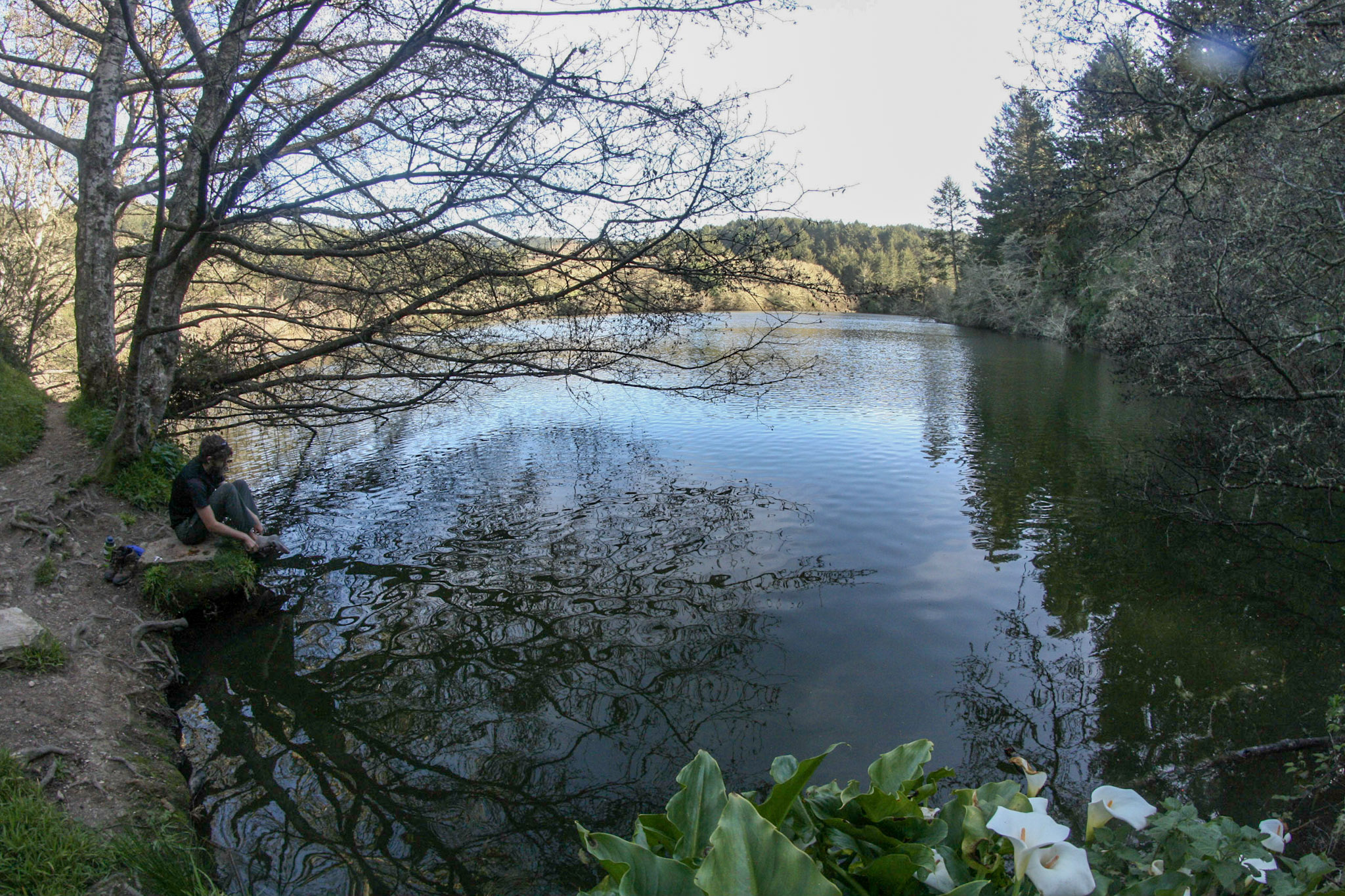
Begin at the Palomarin Trailhead and head northwest on the Coast Trail. Much of the first mile (1.6 km) of this hike offers spectacular ocean views from the tops of bluffs high above the surf. The Coast Trail then heads inland and drops in elevation to a valley floor before switchbacking out the other side. After climbing over a pass, one hikes past the Lake Ranch Trail junction and past a number of small ponds before reaching Bass Lake after 2.8 miles (4.5 km) of hiking. At 2.9 miles (4.6 km), an unmaintained spur trail leads to the southwest along the northwest side of Bass Lake.
Bass Lake is a popular, but unofficial, swimming spot; accessing the lakeside can be challenging and poison oak is common. There are no lifeguards—swim at your own risk .
This hike is mostly within the Phillip Burton Wilderness . There are no toilets at Bass Lake; be sure to use the vault toilets at the Palomarin Trailhead before starting your hike. Please practice Leave No Trace principles.
This route description alone is not a substitute for a trail map. Print out the Point Reyes National Seashore's South District trail map (3,422 KB PDF) before your visit, or pick one up at a visitor center on your way. Always check current conditions before heading out into the park and familiarize yourself with park regulations .
Visit the park's Hiking at Point Reyes National Seashore page for hiking tips and information about trail etiquette and safety.
Visit the park's Trail Advisories and Closures page for current information about closed trails, trails blocked by trees, or other temporary hazards or advisories.
Pets Pets are prohibited on the Coast Trail and at Bass Lake. Visit the park's Pets page to learn where pets are welcome at Point Reyes National Seashore.
Accessibility The initial stretch of the Coast Trail from Palomarin Trailhead is fairly flat and wide, about 5 to 6 feet (1.5 to 1.8 m) across. The trail surface is packed dirt with exposed roots and rocks. As the trail progresses, it becomes narrower and rutted in places. Relatively short sections of moderate to steep grade exist, primarily after the first mile (1.6 km).