
South Pasture Loop Trail
Trailhead South Pasture Loop Trailhead 6,847 ft Drive there
Walking the South Pasture Loop the Park Service's write-up
90-150 Minutes · no dogs
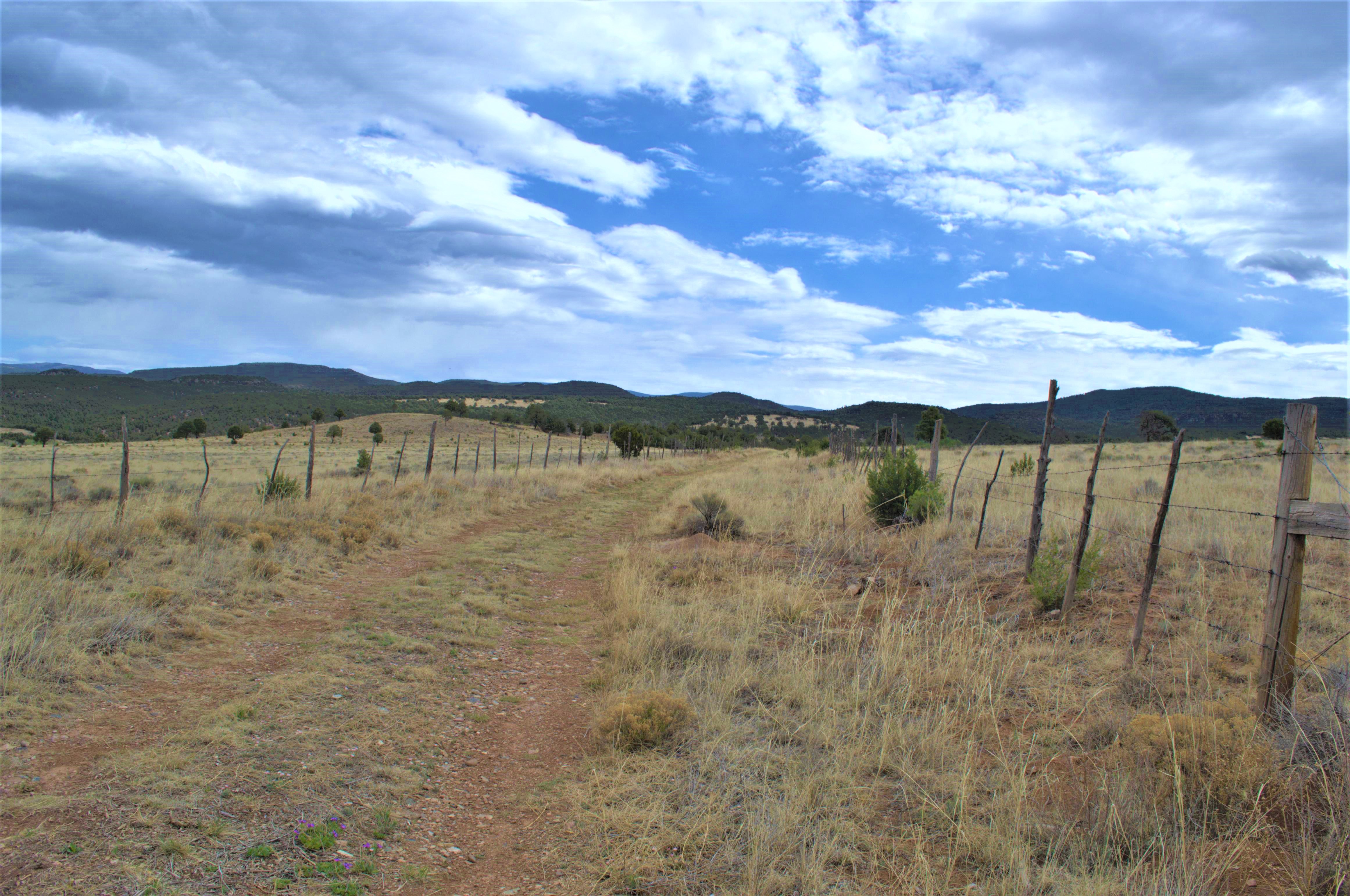
Are you looking for a nice walk through a beautiful field? Follow an old ranch road through the South Pasture of the Forked Lightning Ranch. This 3.8-mile hike showcases some of the natural beauty of the Pecos Valley, presenting visitors with sweeping views of the surrounding mesas and mountains. Pets are not allowed on the South Pasture Loop.
Note that this trail closes at 3pm; therefore, hikers are encouraged to begin their walk no later than 1pm. There are no amenities at the trailhead; hikers should bring water. Please inquire at the E.E. Fogelson Visitor Center for information and directions.
Accessibility As an old ranch road, the South Pasture Loop was not designed as a hiking trail. The trail is dirt, there is almost no shade, and occassional patches of river stones may present tripping hazards. There is one hill with a steeper grade which may cause hazards. As with all hikes in the park, the trail is at an elevation of nearly 7000 feet. Although pets are not allowed on the trail, service animals that are trained to perform a specific task are welcome.