
Glorieta Battlefield Trail
Bridges
Along the way Bridge Bridge Bridge Bridge Bridge Bridge Bridge
Hiking Glorieta Pass Battlefield the Park Service's write-up
90-150 Minutes · dogs allowed
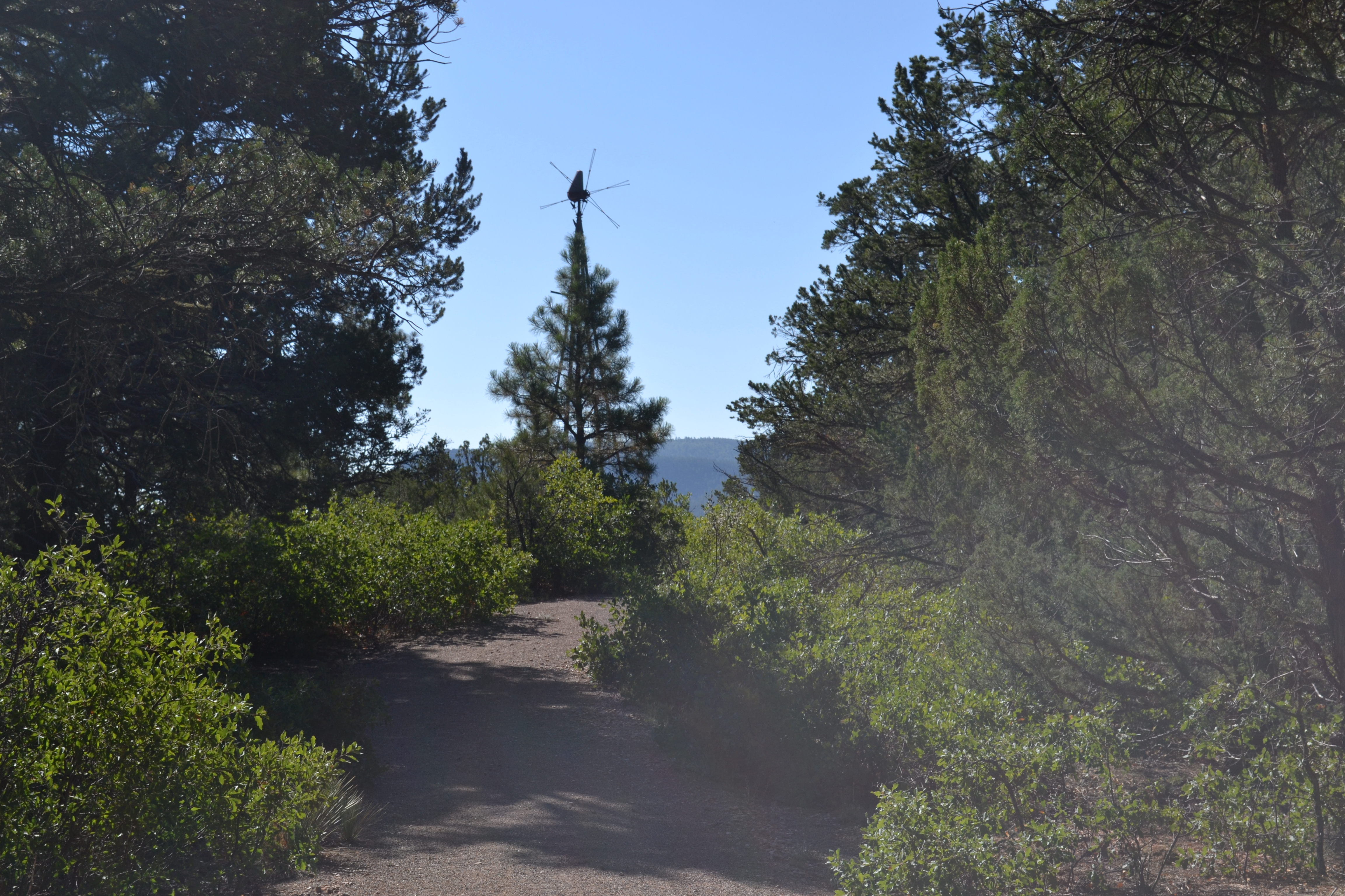
When Union and Confederate forces met in battle at Glorieta Pass, they fought for gold and for control of the Southwest. The Glorieta Pass Battlefield Trail allows visitors to hike to several places where fighting took place. Though presently covered by a Piñon-Juniper woodland, locals and travelers had largely cleared Glorieta Pass of wood by 1862. Standing on Windmill Hill gives visitors the opportunity to see the terrain of the battlefield. Continuing the hike to Artillery Ridge allows visitors to stand near the position where the Union positioned mountain howitzers.
The trail is considered moderately strenuous; it is 2.25 miles long with approximately 500 feet of elevation change, and is composed of a dirt and gravel composite. There is a picnic table and a vault toilet; no other amenities are available at the trailhead. Please bring water and wear sunscreen. Pets are allowed on the trail provided they are leashed and under control.
Accessibility The Glorieta Pass Battlefield Trail is a moderately strenuous trail with steep grades. The 0.3-mile paved trail is more accessible and does not offer steep grades, but is not wheelchair-friendly due to trail width.