0.1 mi of trail, end to end · 10 ft of descent · 350 ft–362 ft · earth surface · trail class Developed · hiking
TrailheadsAccess trail Trailhead? trading post? 362 ft Drive there · Trading Post Trailhead 348 ft Drive there
Hitchiti Village Site Trail the Park Service's write-up
5-15 Minutes · dogs allowed
Start Hitchiti Village Site Trailhead
Funeral Mound Trail Photo: NPS/Martinson
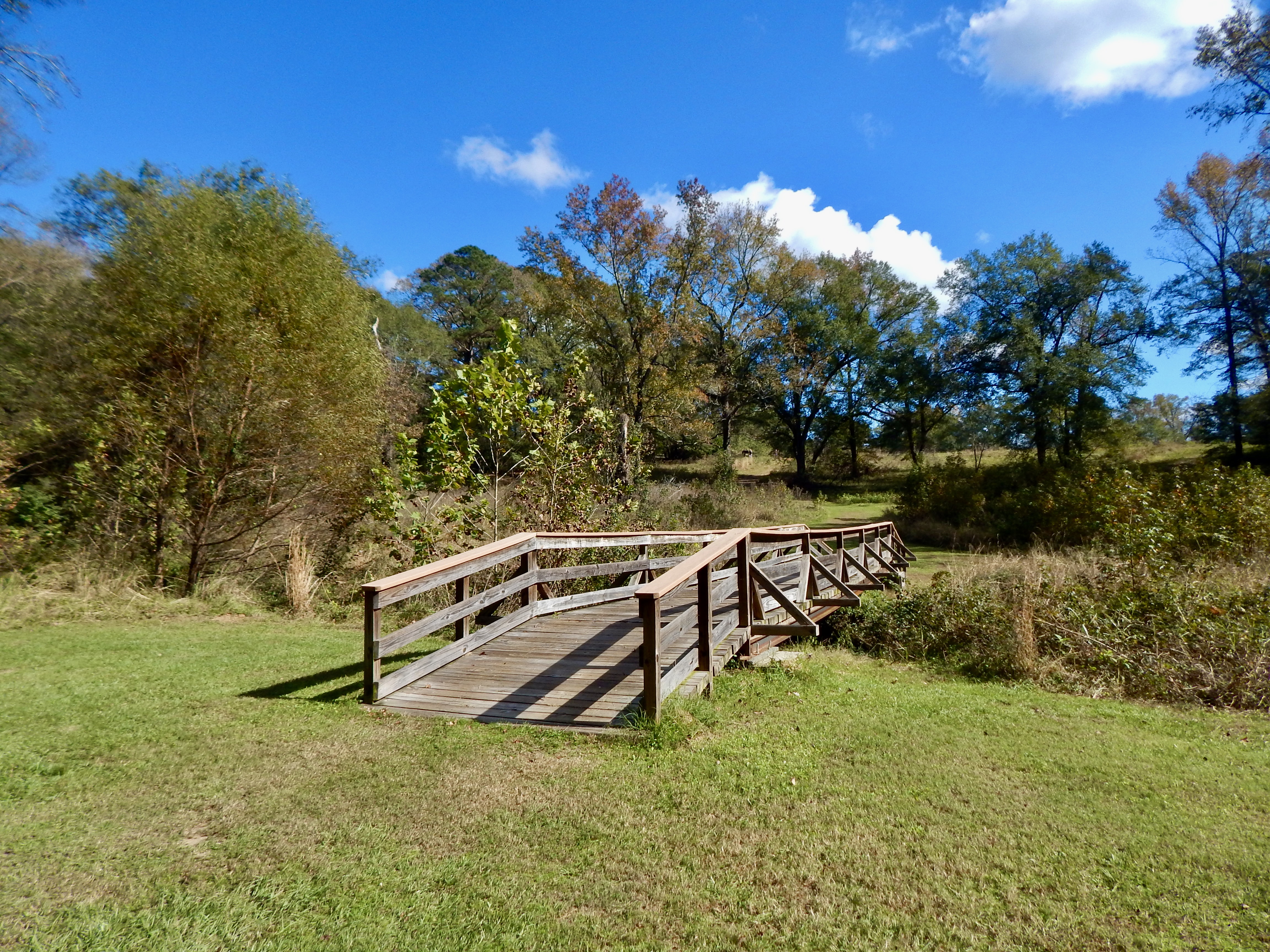
This trail starts at the Trading Post site on the side closest to the railroad bridge. It descends to a small creek and winds through a small area of woodland to reach the Funeral Mound parking lot. Early Creek Indians (late 1600's) are believed to have occupied this area prior to the Yamassee War of 1715.
Accessibility This is a dirt path that has a sharp descent at the beginning and a more shallow ascent at the end leading up to the Funeral Mound parking lot.
The lines are the National Park Service's public trails layer, the trailheads and the waterfalls, views, peaks and historic places along them the Service's public points of interest, read 2026-10-16 and simplified for the map; the length is the line's, end to end. The write-ups are the Service's own "things to do" text, unedited. Heights come from USGS 3DEP through Terrain Tiles on AWS (Mapzen/Tilezen), read along each line and rounded; a short trail on steep ground can be off by a few tens of feet. Closures change: check the park's own site before you go.