Ocmulgee Mounds National Historical Park · Georgia

McDougal Trail

0.4 mi of trail, end to end · 40 ft of descent · 364 ft–402 ft · trail class Highly Developed · hiking

History

370 ft 365 ft · 0.3 mi high 371 ft

Along the way McDougal Mound

Trailhead McDougal Trailhead 370 ft Drive there

McDougal Trail the Park Service's write-up

15-45 Minutes · dogs allowed

Start McDougal Trailhead
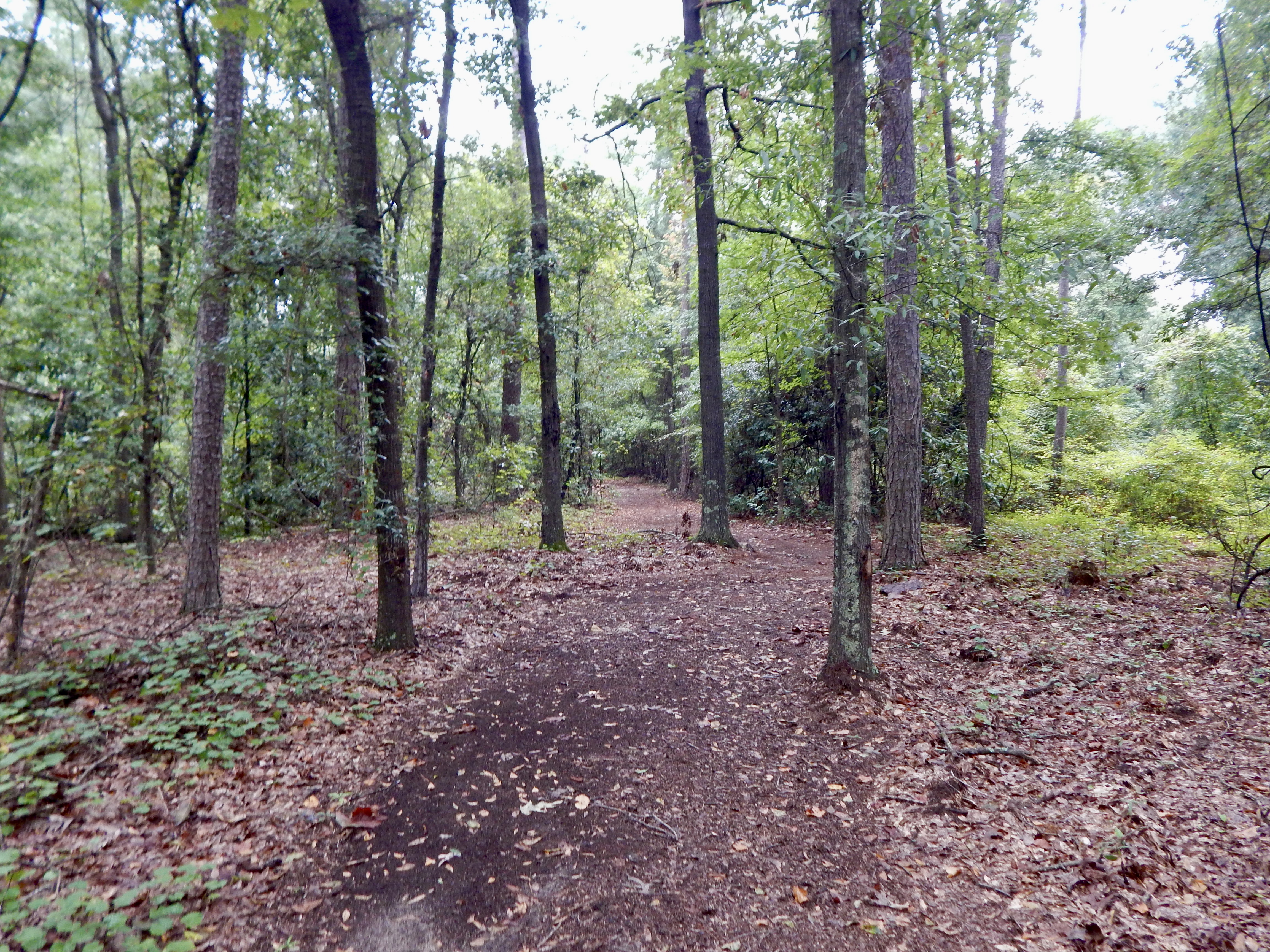
A dirt path winding through woods.
McDougal Trail Photo: NPS/Martinson

This trail is named after Captain Robert McDougal, who was in command of Fort Hawkins in 1809. McDougal died in 1809, and according to legend, was buried in a small Indian mound near the fort, but archaeologists did not find any human remains in the mound during the excavations in the 1930s. There were three smaller mounds between the McDougal Mound and the fort which were destroyed during expansion and construction of Macon. Along the trail you will see the park's original entrance from the 1930s.

Accessibility The trail begins on pavement on the Heritage Trail portion before transitioning to dirt for the remainder of the trail. It is relatively flat until just before the McDougal Mound, where there is a small flight of stairs.

This hike on nps.gov

Other trails from the McDougal Trailhead

All 17 trails in Ocmulgee Mounds National Historical ParkFind a trailOn the parks mapPark on nps.gov

About this trail's facts

The lines are the National Park Service's public trails layer, the trailheads and the waterfalls, views, peaks and historic places along them the Service's public points of interest, read 2026-10-16 and simplified for the map; the length is the line's, end to end. The write-ups are the Service's own "things to do" text, unedited. Heights come from USGS 3DEP through Terrain Tiles on AWS (Mapzen/Tilezen), read along each line and rounded; a short trail on steep ground can be off by a few tens of feet. Closures change: check the park's own site before you go.