National Park of American Samoa · American Samoa

Upper Sauma Ridge Trail

1.2 mi of trail, end to end · about 200 ft of climbing · 850 ft of descent · 378 ft–1,476 ft · earth surface · trail class Moderately Developed · hiking

1,266 ft 716 ft · 0.6 mi high 1,266 ft

Upper Sauma Ridge Trail the Park Service's write-up

dogs allowed
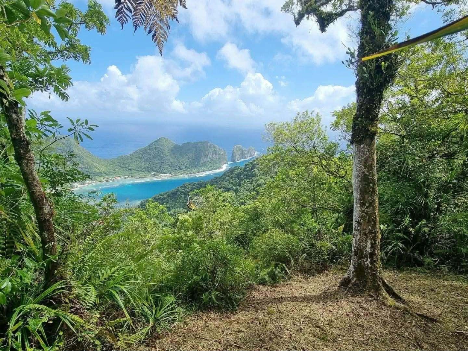
Outdoors; view of water below, mountains behind, framed with lush greenery.
The hike is worth it when you get views like this. Photo: NPS Photo/S.Pouesi

Strenuous = 3.2mi/5.15km total; 1,489ft/454m elevation gain; 3-4 hours.

Hike a challenging trail through a dense rainforest, surrounded by native trees and birds. Enjoy one of the island’s most beautiful views of Vatia village and Pola Island at the summit.

Accessibility The trail is steep and very rocky. Footing is uneven and can be slippery.

This hike on nps.gov

All 26 trails in National Park of American SamoaFind a trailOn the parks mapPark on nps.gov

About this trail's facts

The lines are the National Park Service's public trails layer, the trailheads and the waterfalls, views, peaks and historic places along them the Service's public points of interest, read 2026-10-16 and simplified for the map; the length is the line's, end to end. The write-ups are the Service's own "things to do" text, unedited. Heights come from USGS 3DEP through Terrain Tiles on AWS (Mapzen/Tilezen), read along each line and rounded; a short trail on steep ground can be off by a few tens of feet. Closures change: check the park's own site before you go.