26 named trails · 30 miles · 4 with the Park Service's own write-up. The lines, trailheads and points are the Park Service's; the write-ups are the Service's own words; the climbing is read from USGS elevation along each line.
A gentle climb to an archaeological site featuring ancient grinding stones, this trail combines history with incredible views of the northeast coastline and the Vai’ava Strait.
Accessibility One scenic overlook (Lower Sauma Ridge) is accessible with assistance. No other pullouts or overlooks have been developed at this time and trails are unimproved, steep, and rugged.
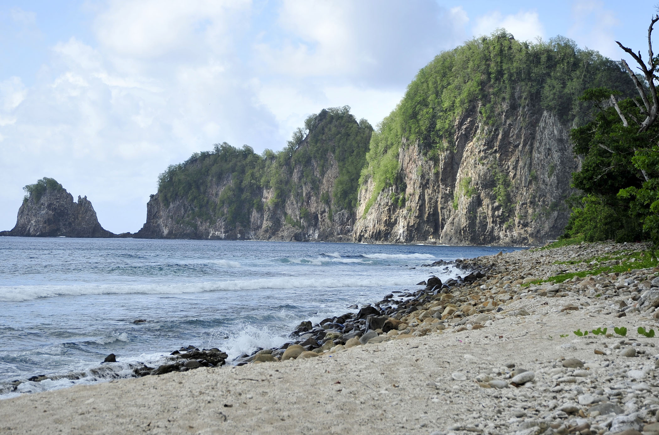
This short, easy trail leads you to the untouched shores of the South Pacific; delivering big rewards with views of the rugged coastline and Pola Island, a sanctuary for nesting seabirds.
Accessibility Even though the easiest trail in terms of elevation and distance, due to uneven surface this trail isn't necessarily accessible.
The trail leads you via ladders, steps, and ropes to a rocky beach, where you can enjoy the sound of the waves and take in the Western view of Pola Island.
Accessibility Due to needing to use ladders, steps, and ropes the viewpoint is not accessible.
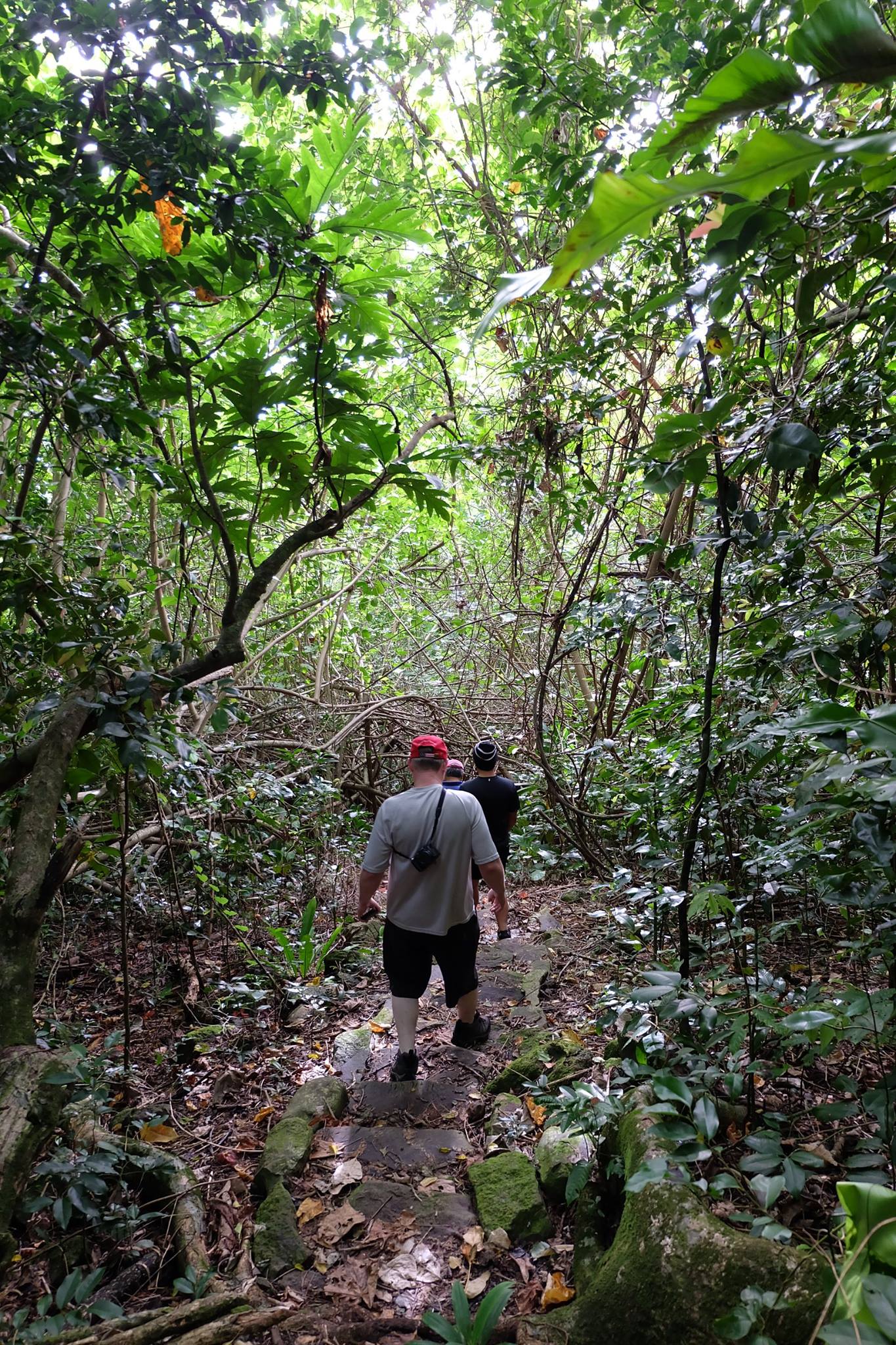
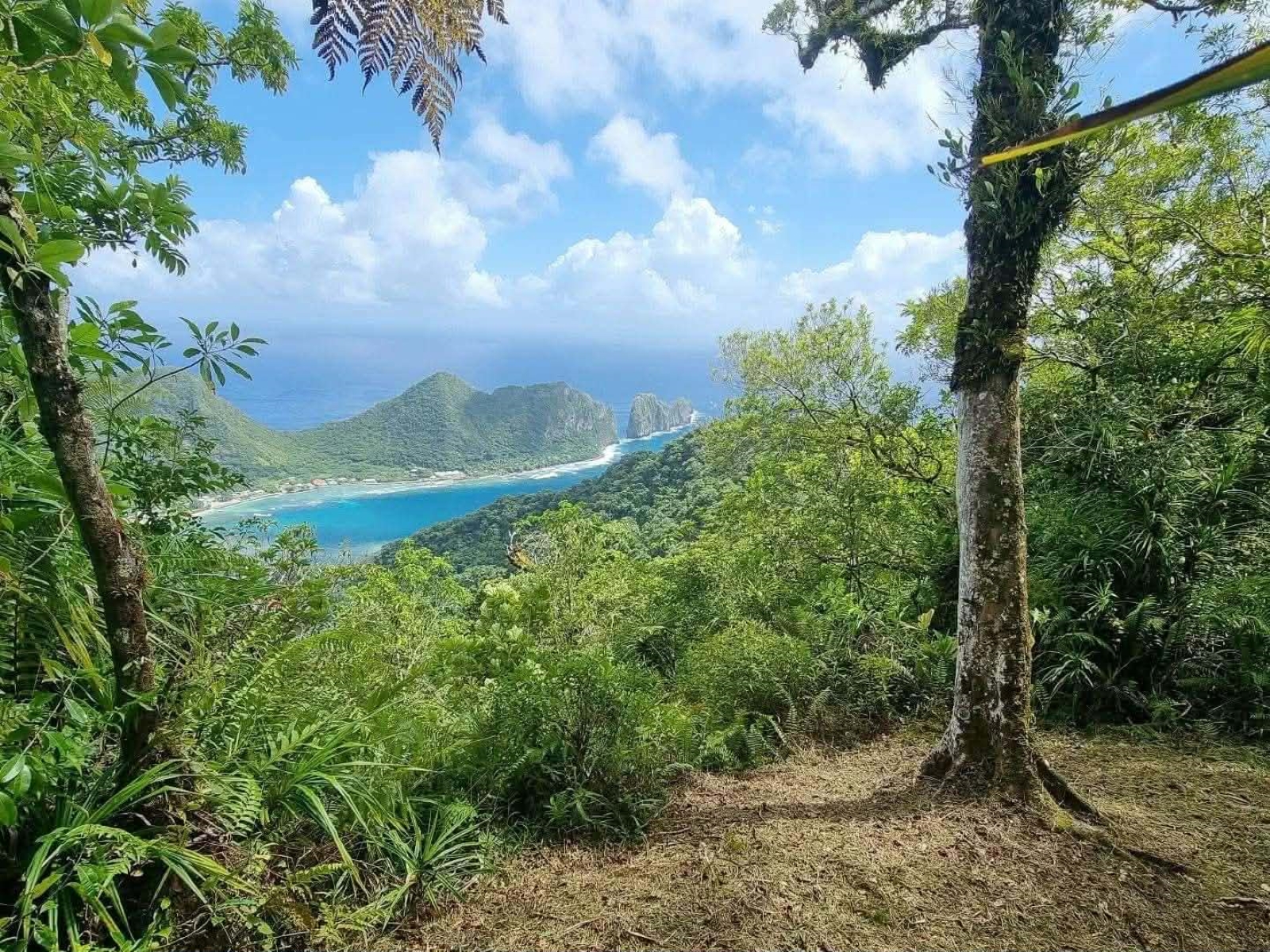
Hike a challenging trail through a dense rainforest, surrounded by native trees and birds. Enjoy one of the island’s most beautiful views of Vatia village and Pola Island at the summit.
Accessibility The trail is steep and very rocky. Footing is uneven and can be slippery.
Write-ups that name no single mapped trail, in the Service's words.
Mount Alava Trail · dogs allowed Difficult = 7mi/11.27km total; 1,607ft/490m elevation gain; 4-5 hours. Trail can be steep, slippery, and rocky in places. Stunning panoramic views from the summit. Lush rainforest environment, great for bird and fruit bat watching.
About these trails
The lines are the National Park Service's public trails layer, the trailheads and the waterfalls, views, peaks and historic places along them the Service's public points of interest, read 2026-10-14 and simplified for the map. The write-ups are the Service's own "things to do", unedited. Heights come from USGS 3DEP through Terrain Tiles on AWS (Mapzen/Tilezen), read along each line and rounded; a short trail on steep ground can be off by a few tens of feet. Closures change: check the park's own site before you go.