National Park of American Samoa · American Samoa

Lower Sauma Ridge Trail

0.2 mi of trail, end to end · 150 ft of descent · 54 ft–220 ft · earth surface · trail class Moderately Developed · hiking

220 ft 54 ft · 0.1 mi high 220 ft

Lower Sauma Ridge Trail the Park Service's write-up

no dogs
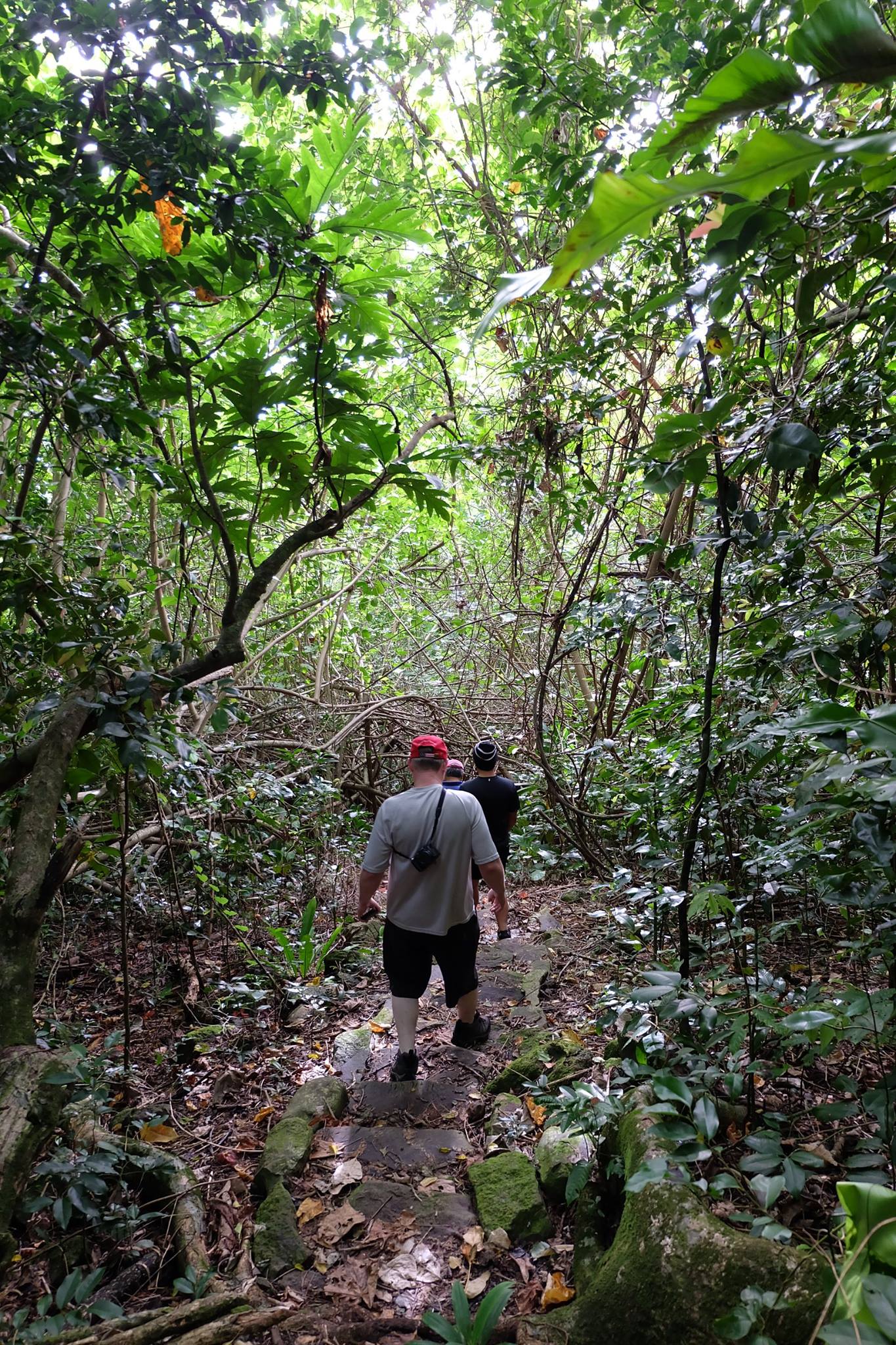
A row of men seen from behind hiking a narrow trail downward on low stone steps surrounded by trees.
Hikers on Lower Sa'uma Trail. Photo: NPS Photo.

Easy = 0.4mi/0.64km total; 232ft/7m elevation gain; 30-45 minutes.

A gentle climb to an archaeological site featuring ancient grinding stones, this trail combines history with incredible views of the northeast coastline and the Vai’ava Strait.

Accessibility One scenic overlook (Lower Sauma Ridge) is accessible with assistance. No other pullouts or overlooks have been developed at this time and trails are unimproved, steep, and rugged.

This hike on nps.gov

All 26 trails in National Park of American SamoaFind a trailOn the parks mapPark on nps.gov

About this trail's facts

The lines are the National Park Service's public trails layer, the trailheads and the waterfalls, views, peaks and historic places along them the Service's public points of interest, read 2026-10-16 and simplified for the map; the length is the line's, end to end. The write-ups are the Service's own "things to do" text, unedited. Heights come from USGS 3DEP through Terrain Tiles on AWS (Mapzen/Tilezen), read along each line and rounded; a short trail on steep ground can be off by a few tens of feet. Closures change: check the park's own site before you go.