
Presidential Trail
Visitor centers
Along the way Lincoln Borglum Visitor Center
Trailheads Presidential Trail Trailhead 5,249 ft Drive there · Presidential Trail Trailhead 5,256 ft Drive there
Walk the Presidential Trail the Park Service's write-up
20-45 Minutes · no dogs · Spring, Summer, Fall · season The trail is open all year, weather permitting. During winter the trail is frequently closed when it is covered with snow and ice.
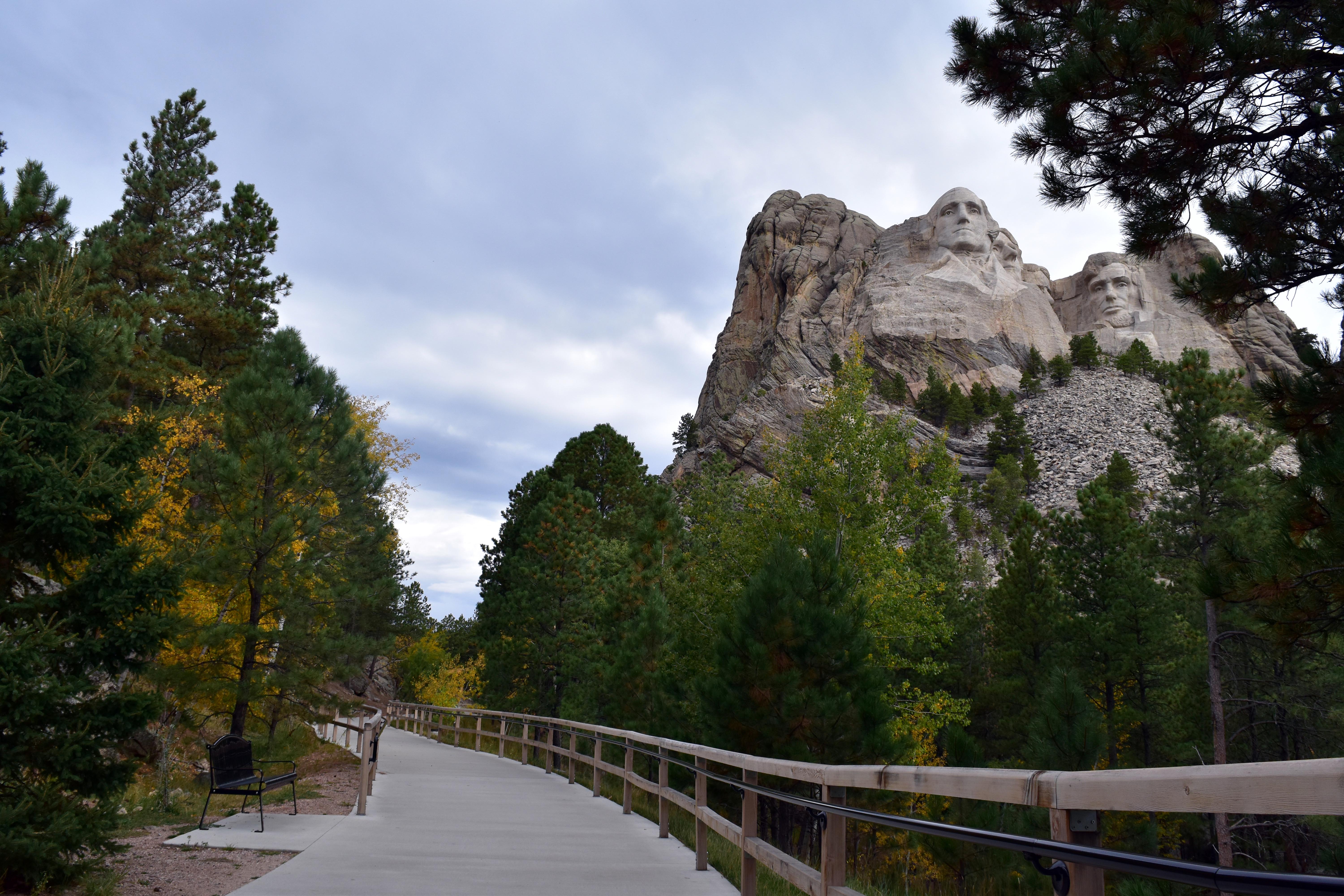
This 0.6 mile trail provides changing views of Mount Rushmore as you walk among granite outcrops and through ponderosa pine trees. Start from the Grand View Terrace. As you face the mountain go to the far left side to begin the trail. The first 0.2 miles is a handicapped accessible trail to the base of Mount Rushmore. The final 0.4 miles has 422 stairs and brings you back to the Grand View Terrace.
Pets Service dogs, as defined by the Americans with Disabilities Act requirements , are permitted to accompany visitors with disabilities on this trail.
Accessibility The first 0.2 miles of this trail is a sidewalk and boardwalk with a very slight incline that leads to the base of the sculpture. Benches are located along the trail to provide a place to rest. Service dogs, as defined by the Americans with Disabilities Act requirements , are permitted to accompany visitors with disabilities on this trail.