National Memorial · South Dakota

Trails in Mount Rushmore National Memorial

3 named trails · 1 miles · 2 trailheads · 2 with the Park Service's own write-up. The lines, trailheads and points are the Park Service's; the write-ups are the Service's own words; the climbing is read from USGS elevation along each line.

Open on the parks mapEvery park with trailsPark on nps.gov

3 trails, A to Z.

Blackberry Trail

0.8 mi one way · about 350 ft of climbing · 4,871 ft–5,203 ft

4,871 ft 5,203 ft · 0.8 mi high 5,203 ft

Hiking The Blackberry Trail the Park Service's write-up

30-60 Minutes · dogs allowed

Start Blackberry Trailhead
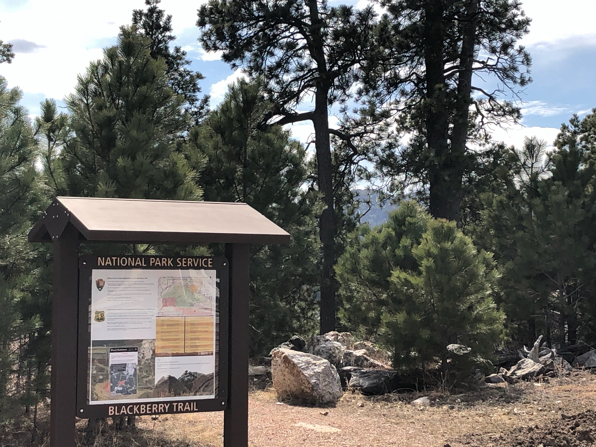
Photo of the Blackberry Trailhead with information sign on the left and pine trees behind it.
Blackberry Trailhead across Highway 244 from the parking facility. Photo: NPS Photo

The Blackberry Trail, a designated National Recreational Trail, is a moderately strenuous one mile gravel trail that connects with the Centennial Trail in the Black Elk Wilderness, part of the Back Hills National Forest.

Equestrian users, hikers, and wildlife observers will all find something to enjoy. There are several small water crossings, a wooden bridge, several horse tie-up stations, and two picnic tables to enhance recreational enjoyment.

Hikers can begin their exploration at the Blackberry Trail trailhead located across South Dakota Highway 244 from the parking facility.

This trail is pet friendly. Remember to keep your pet on a leash shorter than six feet and to pick up after your pet.

Accessibility This trail approximately two feet wide with a fine gravel surface and a maximum grade of ten percent.
This hike on nps.gov

Presidential Trail

0.3 mi one way · about 10 ft of climbing · 100 ft of descent · 5,158 ft–5,268 ft

Visitor centers

5,256 ft 5,158 ft · 0.1 mi high 5,256 ft

Along the way Lincoln Borglum Visitor Center

Trailheads Presidential Trail Trailhead 5,249 ft Drive there · Presidential Trail Trailhead 5,256 ft Drive there

Walk the Presidential Trail the Park Service's write-up

20-45 Minutes · no dogs · Spring, Summer, Fall

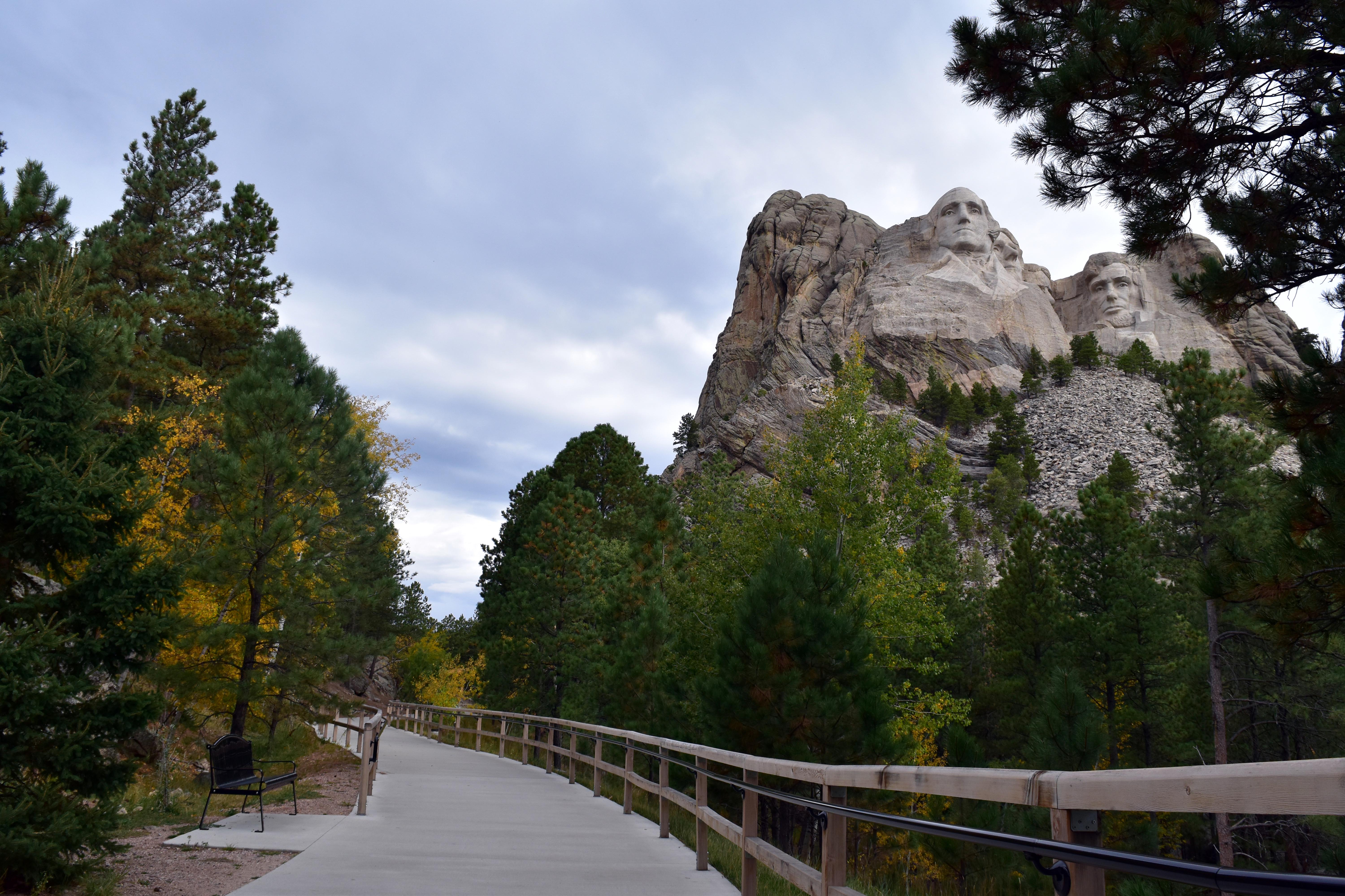
Photo of the beginning of the Presidential Trail leading towards the sculpture.
The beginning of the Presidential Trail leading towards the sculpture. Photo: NPS Photo

This 0.6 mile trail provides changing views of Mount Rushmore as you walk among granite outcrops and through ponderosa pine trees. Start from the Grand View Terrace. As you face the mountain go to the far left side to begin the trail. The first 0.2 miles is a handicapped accessible trail to the base of Mount Rushmore. The final 0.4 miles has 422 stairs and brings you back to the Grand View Terrace.

Pets Service dogs, as defined by the Americans with Disabilities Act requirements , are permitted to accompany visitors with disabilities on this trail.

Accessibility The first 0.2 miles of this trail is a sidewalk and boardwalk with a very slight incline that leads to the base of the sculpture. Benches are located along the trail to provide a place to rest. Service dogs, as defined by the Americans with Disabilities Act requirements , are permitted to accompany visitors with disabilities on this trail.

This hike on nps.gov

19 more mapped segments without a name are on the map, not in the list.

About these trails

The lines are the National Park Service's public trails layer, the trailheads and the waterfalls, views, peaks and historic places along them the Service's public points of interest, read 2026-10-14 and simplified for the map. The write-ups are the Service's own "things to do", unedited. Heights come from USGS 3DEP through Terrain Tiles on AWS (Mapzen/Tilezen), read along each line and rounded; a short trail on steep ground can be off by a few tens of feet. Closures change: check the park's own site before you go.