
West Side Road Trail
Trailhead Westside Road Trailhead 2,877 ft Drive there
Hike and Bike Westside Road in Mount Rainier the Park Service's write-up
no dogs · entrance fee applies · Summer, Fall
Start Westside Road at Dry Creek
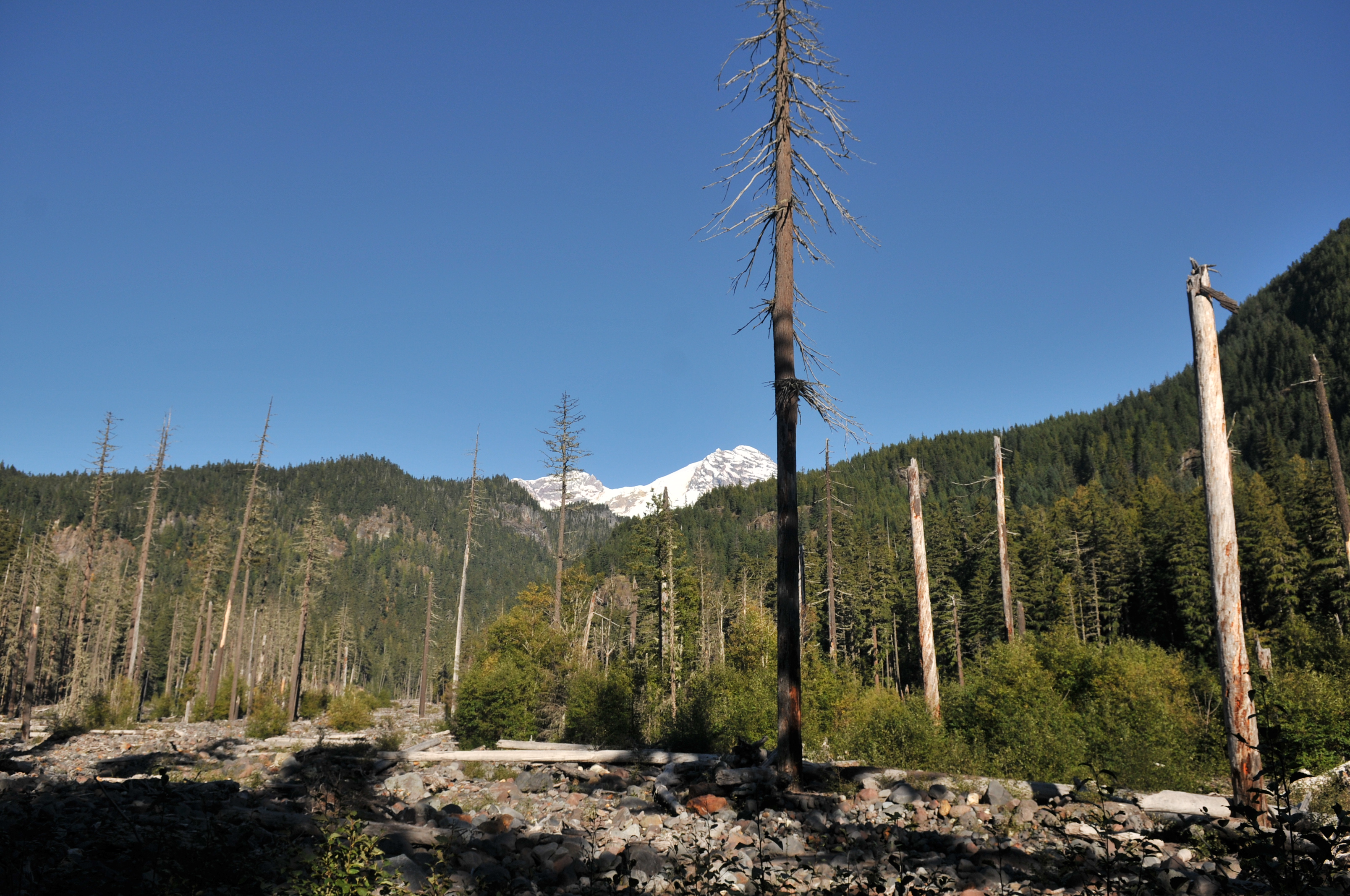
Discover both human and natural history on Westside Road. Trails lead to natural wonders, including subalpine meadows, glacier-fed lakes and streams, glacier-carved ridges, and lava rock formations. Don't forget to look up at the cliffs and slopes that line the road for possible glimpses of mountain goats.
Many of the structures you’ll see in this area were built by the Civilian Conservation Corps (CCC) from 1933–1941, including Gobblers Knob Fire Lookout. The CCC also built many stone bridges, walls and abutments.
Drive three miles from the junction with Nisqually Road to the road closure at Dry Creek to begin your hike or bike. Walk or bike the road for views of this dynamic landscape. Area trails tend to be strenuous. Ride your bike to trailheads (leave bicycles at trailheads) to shorten hiking times.
Geohazard Area Note that this is a geohazard area. Move immediately uphill at least 150 feet if the ground shakes and/or you hear a rumbling noise.
Westside Road Trails:
Gobblers Knob 13 miles, 7 hours round-trip. Spectacular view of Mount Rainier and picturesque Lake George from Gobblers Knob Fire Lookout. Hike 3.7 miles on the road to trailhead from the road closure.
Klapatche Park 19 miles, 11 hours round-trip. Take this hike for spectacular views of Mount Rainier and the South Tahoma Glacier. Klapatche Park features a serene mountain lake, meadows abundant with subalpine wildflowers, and grand views of Mount Rainier. Access the trail from the Westside Road closure, approximately 4 miles to the trailhead.
Emerald Ridge 16 miles, 8 hours round-trip. Enjoy spectacular views of Mount Rainier and South Tahoma Glacier on this trail that meanders past andesite columns to emerald-green meadows. Hike the road 9 miles from the road closure to the trailhead.
Read about other trails at Mount Rainer
Pets Pets are not allowed beyond the closure. Service animals are allowed.
Accessibility The roadbed is dirt, often rutted with holes, and a rocky, uneven surface. Service animals are allowed.