
Silver Falls Loop Trail
Waterfalls
Along the way Silver Falls
Trailheads Hot Springs Nature Trailhead 1,890 ft Drive there · Silver Falls Loop Trailhead 1,876 ft Drive there
Ohanapecosh Area Activities the Park Service's write-up
2-8 Hours · no dogs · entrance fee applies · Summer, Fall · season The Ohanapecosh area is usually accessible from early summer to early fall.
Start Ohanapecosh
The Ohanapecosh area is a beautiful landscape of old-growth trees, wildlife, and the clear blue waters of the Ohanapecosh River. Places for quiet reflection and recreational opportunities abound. If you find yourself in the Ohanapecosh area with some time to spend in nature, consider taking advantage of the endless recreational opportunities.
Hot Springs Trail
Perhaps the most family friendly of the list is the 0.4 mile long Hot Springs Trail. This short loop trail is perfect for those who would like to stretch their legs but want to stay close to their campsite or vehicle. Walk beneath massive old-growth trees and meander through the remnants of an early hot springs resort. Stay on trail and do not enter the hot springs.
Fly Fish the Ohanapecosh
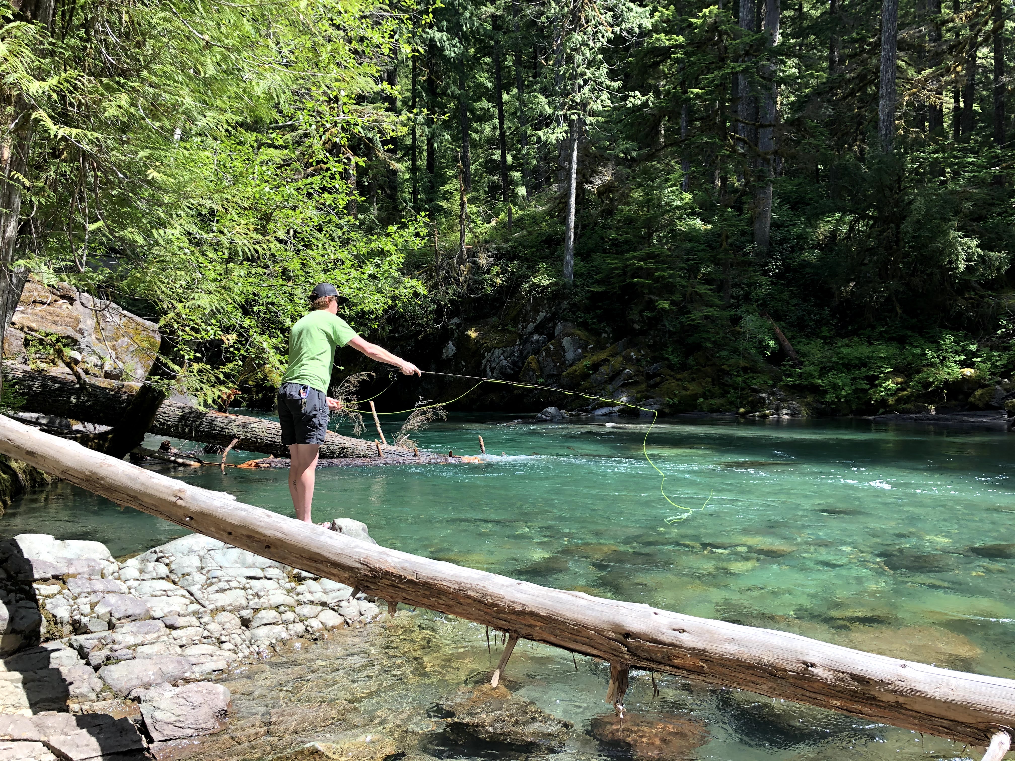
There are few things better than casting a line into a clear mountain river on a warm summer morning. Open to fly fishing from the first Saturday in June until October 31, the Ohanapecosh River is home to rainbow, brook, and cutthroat trout. This river isn’t considered a fishing destination to most, but experienced anglers enjoy the relaxing blue waters and surrounding old-growth trees.
Silver Falls to the Grove of the Patriarchs
Silver Falls and the Grove of the Patriarchs are two of the most popular hikes in the area, but many people chose to hike them separately. Combine the two by beginning your hike at the Ohanapecosh Campground. Hike until you reach Silver Falls and continue on the Eastside Trail for 0.5 mile until you reach the Grove of the Patriarchs Trailhead. Hike through the magnificent old-growth trees before returning the way you came.
Ohanapecosh to Chinook Pass
Not for the faint of heart, this 13.3 mile hike from Ohanapecosh to Chinook Pass has it all. For those looking for a challenge, hike from Ohanapcosh to Chinook Pass, gaining 3,532 feet along the way. Begin in the massive old-growth forest of the Ohanapecosh area and make your way north, passing old giants, countless raging waterfalls, and the Ohanapecosh River. Towards the end of your hike, you will enter the subalpine area of Tipsoo Lake and Chinook Pass.
PROTIP : Take two cars and park on opposite ends of the trail to cut your hiking time in half.
Accessibility Hikes vary in difficulty and none are wheelchair accessible. Trails are dirt, often broken by rocks, tree roots, logs, or steps. These trails can have significant elevation gain and loss. For anglers wanting to fish the Ohanapecosh River, there are challenges in getting down to the shore that may include bushwhacking or walking on uneven terrain on unmaintained trails.