
Rampart Ridge Trail
Hike Rampart Ridge the Park Service's write-up
2-3 Hours · no dogs · season <p>While Longmire is open year-round, snow can make this trail hazardous in winter. Winter hikers and snowshoers must have experience with navigation.</p>
Start Rampart Ridge Trail
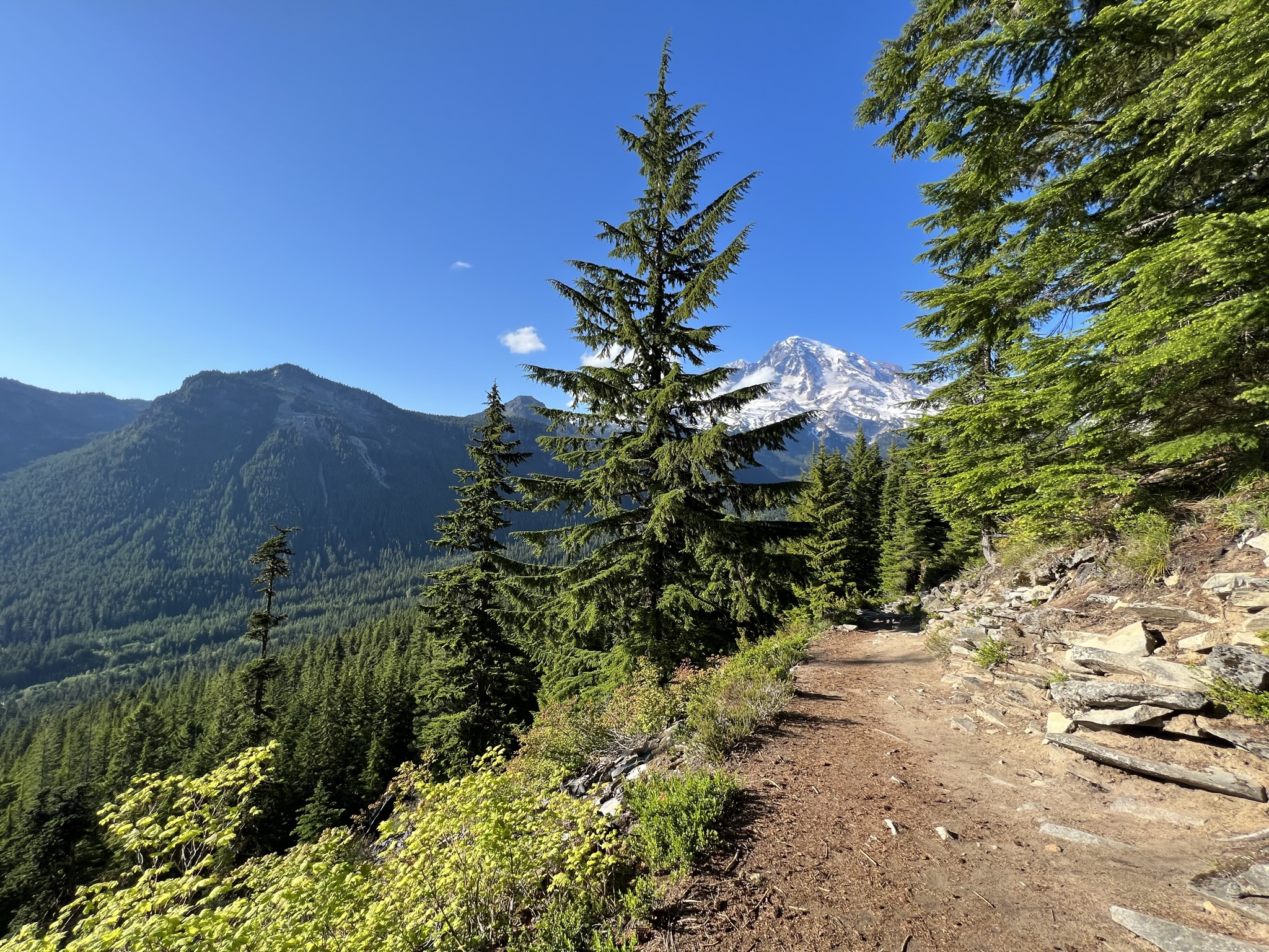
This moderate loop trail passes through forests with glimpses of the surrounding mountain vistas. Also known as "The Ramparts," this ridge is the remnant of an ancient lava flow which originated at the summit of Mount Rainier.
To connect with the trailhead to Rampart Ridge, begin at the west end of the Trail of the Shadows Trail located across the road from the National Park Inn. The loop can be hiked in either direction, but going clockwise keeps Mount Rainier in front more of the time and is thus recommended. The hike begins steeply as the trail leads through dense forest to the top of the ridge.
At 1.8 miles, there is a viewpoint looking up the Nisqually River Valley. As you hike along the relatively level ridge, listen for the tapping of the woodpeckers or the booming of the grouse. Keep an eye out for deer and other wildlife. Notice the various mosses and lichen clinging to the trees. On a clear day, hikers are also rewarded with excellent views of Mount Rainier and the Nisqually River Valley from two viewpoints atop the ridge At 2.9 miles, join the Wonderland Trail for the return to Longmire.
Trail Statistics
Distance, round trip: 4.6 miles
Elevation gain: 1339 feet
Hiking time, round trip: 2.5 hours
Wilderness Camps: None
Accessibility The west end of Trail of the Shadows is a relatively flat, wide path that includes a boardwalk. At the junction 0.2 miles in, the Rampart Ridge trail begins and continues up steep switchbacks to the top of the ridge. The trail is rocky and rooted throughout. As the loop continues down the Wonderland Trail to return to Longmire, there are sections of boardwalks and steep stairs. Some of the stairs are up to a foot tall.