
Lava Tube Trail
Visit a Lava Tube the Park Service's write-up
0-30 Minutes · dogs allowed · season The lava tube is accessible all year, though the road can become more difficult after rain.
Start Lava Tube
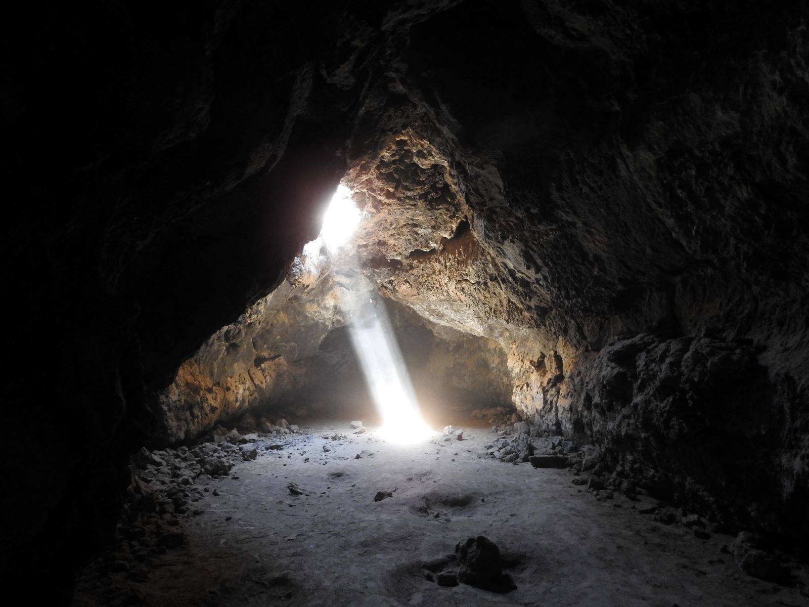
Take an underground adventure into the lava tube! Just a short walk from the road brings you to this natural cave made of lava that cooled thousands of years ago. Enjoy some fascinating geologic formations and the beautiful contrast between light and dark inside. Sometimes during daylight hours you can see a bright sunbeam streaming through the multiple ceiling holes. The lava tube is often enjoyed by photographers, hikers, and adventurers of all ages. Please note that the road approaching it is rough, and a high-clearance vehicle is recommended.
Accessibility The trail from the parking area to the lava tube is approximately 1/4 mile long and moderately difficult, since it progresses uphill and there are many large, loose boulders along the trail. To enter into the lava tube, visitors descend a wide, sturdy ladder with handrails, then progress further into the tube by walking on and between boulders. Visitors must stoop or crawl for a distance of about 6 feet to pass under a low section of the ceiling before entering the main room of the lava tube cave.