
Unfinished Railroad Loop Trail
Unfinished Railroad Loop Trail 1.2 mi round trip · the Park Service's write-up
60-75 Minutes · dogs allowed
Start Unfinished Railroad Parking Lot, Stop #6
Distance: 1.2 mile roundtrip hike
Difficulty: Easy-Moderate
Hiking Time: 1 hour 1. Begin at the Unfinished Railroad Parking Lot (Tour Stop #6).
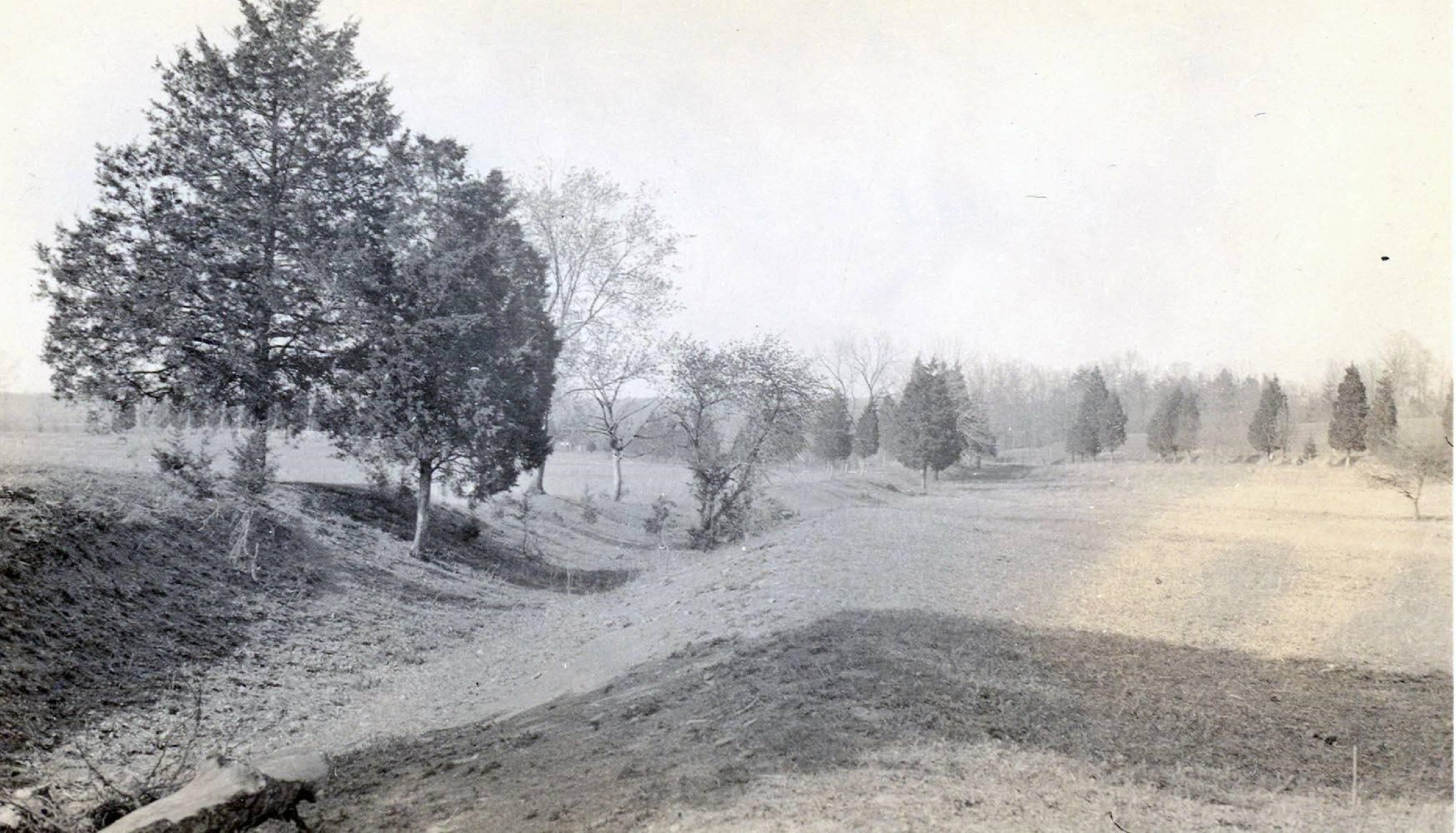
2. Take the fork to the left to begin the trail. Interpretive markers along the trail discuss the fighting along the Unfinished Railroad during August 29, 1862.
3. The trail loops back to the parking lot along the Federal side of the railroad. Begin your walk at the Unfinished Railroad parking lot (Tour Stop #6) off Featherbed Lane. The trail heads northeast along the unfinished railroad, where Stonewall Jackson placed his Confederate troops. Interpretive markers discuss the bayonet charge by Cuvier Grover's Union brigade on August 29, 1862, which briefly punctured the Confederate defensive line. Before looping back to the parking lot, hikers have the option of continuing down the railroad bed, via the Sudley Connector Trail, to Sudley Church. The Sudley Church area served as the Confederate army's left flank during the Battle of Second Manassas.
Accessibility This trail does not meet ADA accessibility guidelines.