
National Battlefield Park · Virginia
Trails in Manassas National Battlefield Park
39 named trails · 44 miles · 10 with the Park Service's own write-up. The lines, trailheads and points are the Park Service's; the write-ups are the Service's own words; the climbing is read from USGS elevation along each line.
39 trails, A to Z.
Brawner Farm Bridle Loop
Brawner Farm Connector Trail
Brawner Farm Entrance Road
Brawner Farm Loop Trail
Brawner Farm Loop Trail the Park Service's write-up
45-75 Minutes · dogs allowed
Start Brawner Farm Parking Lot (Tour Stop #1)
Distance: 1.6 mile roundtrip hike
Difficulty: Easy
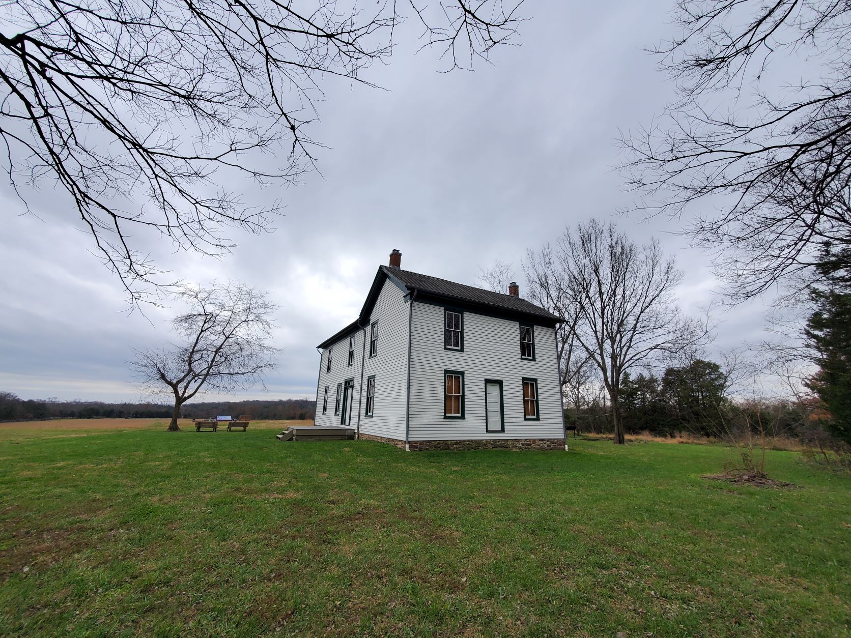
Hiking Time: 1 hour 1. Park at the Brawner Farm parking lot off Pageland Lane. Follow the paved parth town to the Brawner Farmhouse.
2. Continue east along the Union line of battle. A short spur trail takes you toward Battery Heights, a Union artillery position during the fighting at Brawner Farm.
3. Trail loops back along the Confederate line of battle. Begin at the Brawner Farm parking lot off Pageland Lane (Tour Stop #1). This trail sweeps across historic farmland and the scene of some of the deadliest fighting during the opening day of the Battle of Second Manassas. Follow the paved path down to the Brawner Farm Interpretive Center (open March-November), and continue east along the Union battle line. A short side trail leads up to Battery Heights, where Capt. Joseph B. Campbell unlimbered the cannon of 4th U.S. Artillery, Battery B. The trail loops back via the Confederate position, walking the battle line once occupied by the Stonewall Brigade. Trailside historical markers and interpretive signs describe the combat actions that occurred.
Accessibility This trail does not meet ADA accessibility guidelines.
Bridle Trail
Brownsfield Bridle Trail
Brownsfield Connector Bridle Trail
Picnic areas
Along the way Brownsville Picnic Area Pavilion
Brownsville Habitat Trail
Picnic areas
Along the way Brownsville Picnic Area Pavilion
Chinn Ridge Trail
Chinn Ridge Trail the Park Service's write-up
45-70 Minutes · dogs allowed
Start Chinn Ridge Parking Lot, Stop #10
Distance: 1 mile hike (.5 miles out and .5 miles back)
Difficulty: Easy
Hiking Time: 1 hour 1. Trail begins at the Chinn Ridge Parking Lot.
2. Follow paved path and markers that tell the story of the heaviest sustained fightingat Second Manassas.
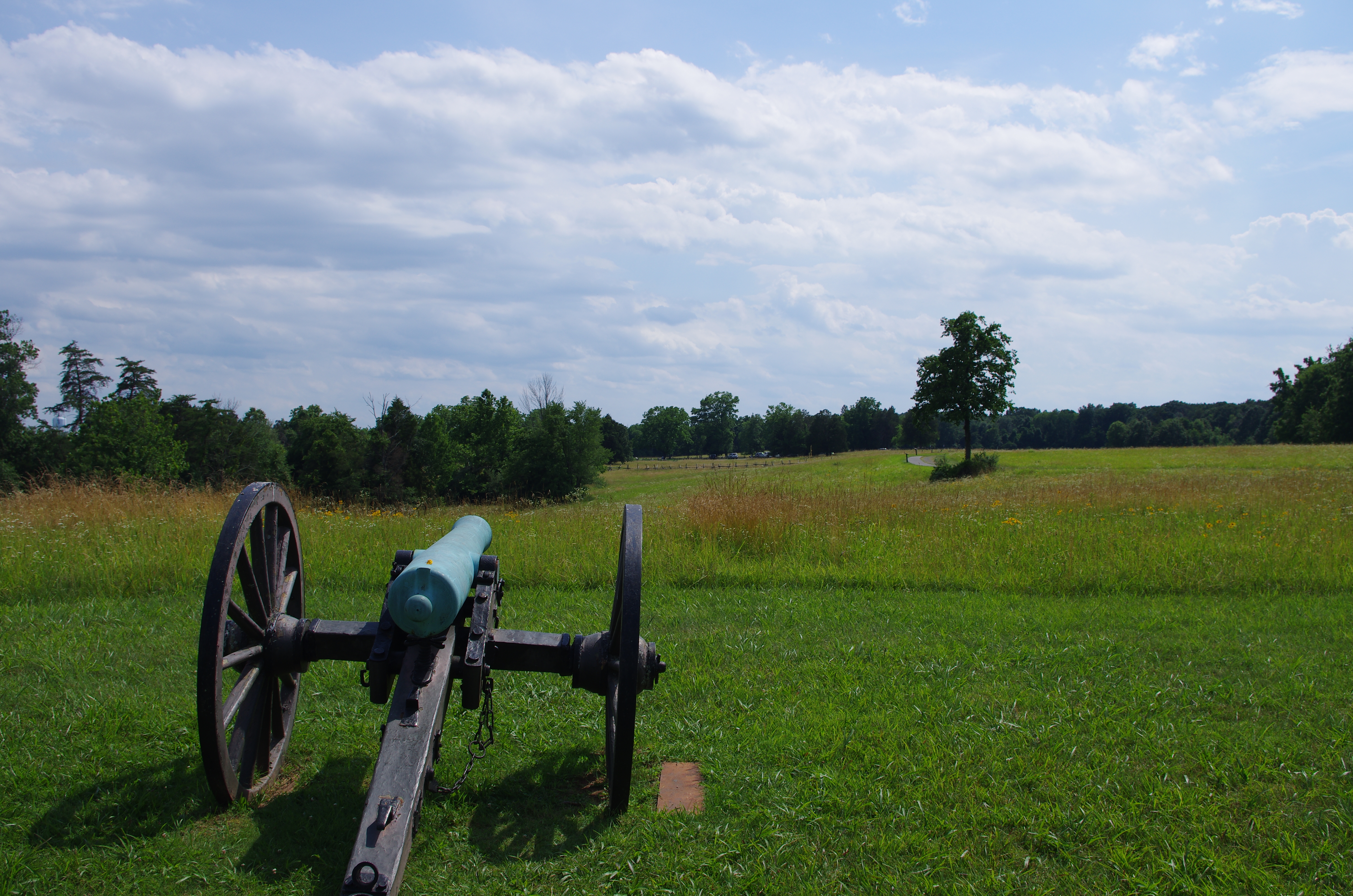
3. At the end of the paved trail, a marker describes the fighting on Chinn Ridge during First Manassas. At this point, return along the paved path back to the parking lot. The trail begins at the Chinn Ridge parking lot (Tour Stop #10). The paved path, which is wheelchair accessible, traverses an area that witnessed heavy fighting on August 30, 1862. Interpretive signs tell the story of Union troops who made a desperate stand on Chinn Ridge and blunted the Confederate counterattack. Near the conclusion of the trail, visitors will pass a monument dedicated to Col. Fletcher Webster of the 12th Massachusetts, killed in action on Chinn Ridge. He was the son of noted orator Daniel Webster. The paved trail concludes at an interpretive marker discussing the combat on Chinn Ridge during the Battle of First Manassas (July 21, 1861). Visitors then return to the parking lot via the same path.
Accessibility Wheelchair Accessible
Connector Trail
Deep Cut Loop Trail
First Manassas to Carter Cemetery Connector Trail
History
Along the way Carter Family Cemetery Pittsylvania House Site
First Manassas Trail
HistoryVisitor centers
Along the way Pittsylvania House Site Van Pelt House Site Henry Hill Visitor Center
First Manassas Trail the Park Service's write-up
2-4 Hours · dogs allowed
Start Henry Hill Visitor Center
Distance: 5.4 mile circuit hike
Difficulty: Moderate-Strenuous
Hiking Time: 2+ hours This extended hike leads visitors over the landscape where on a warm July day in 1861, the newly formed Union and Confederate armies clashed for the first time.
The trail begins at the Visitor Center and leads you through forested areas, emerging at the Stone Bridge. After following Bull Run upstream, the trail turns west and meanders over farm fields and woods.
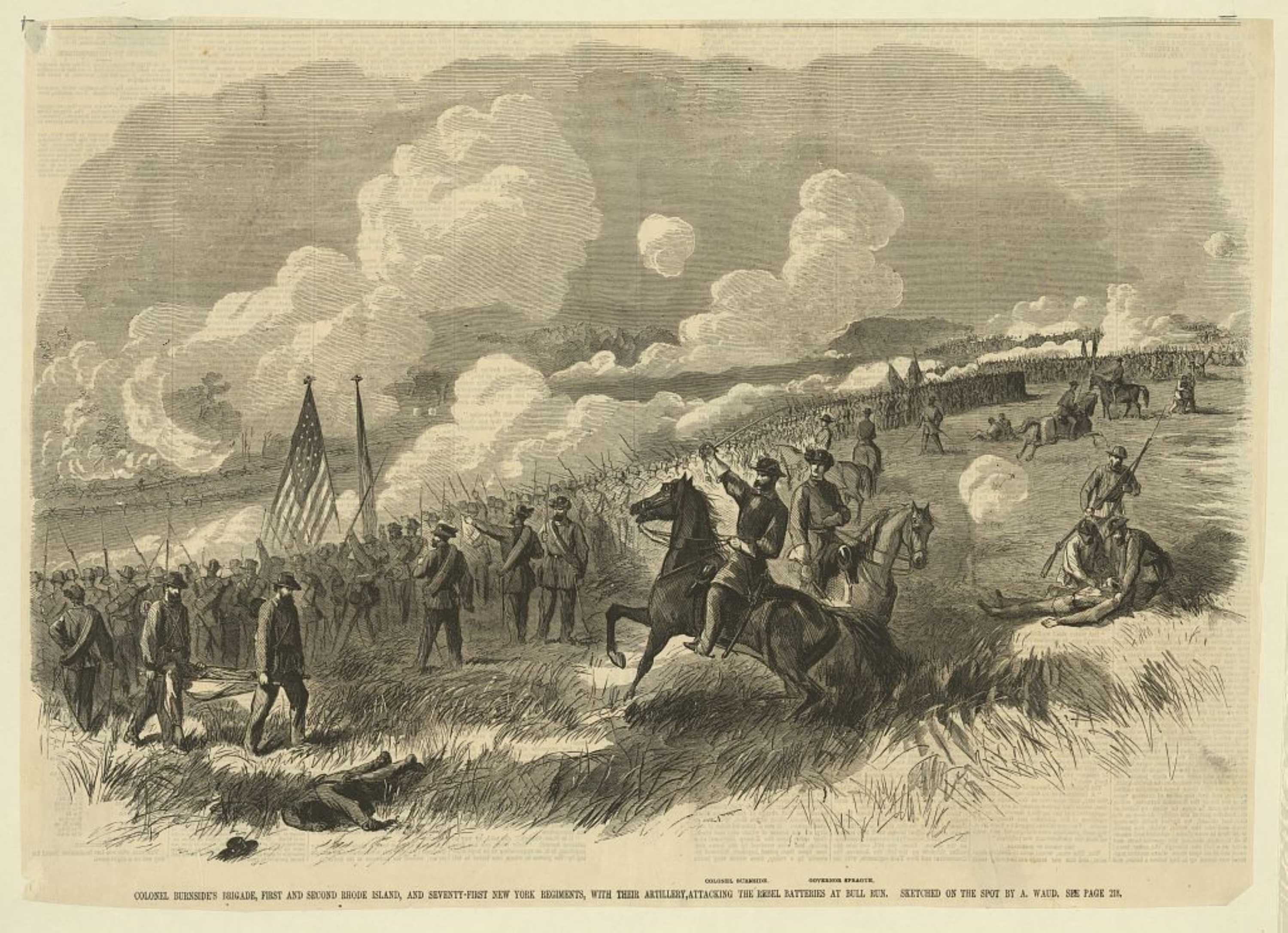
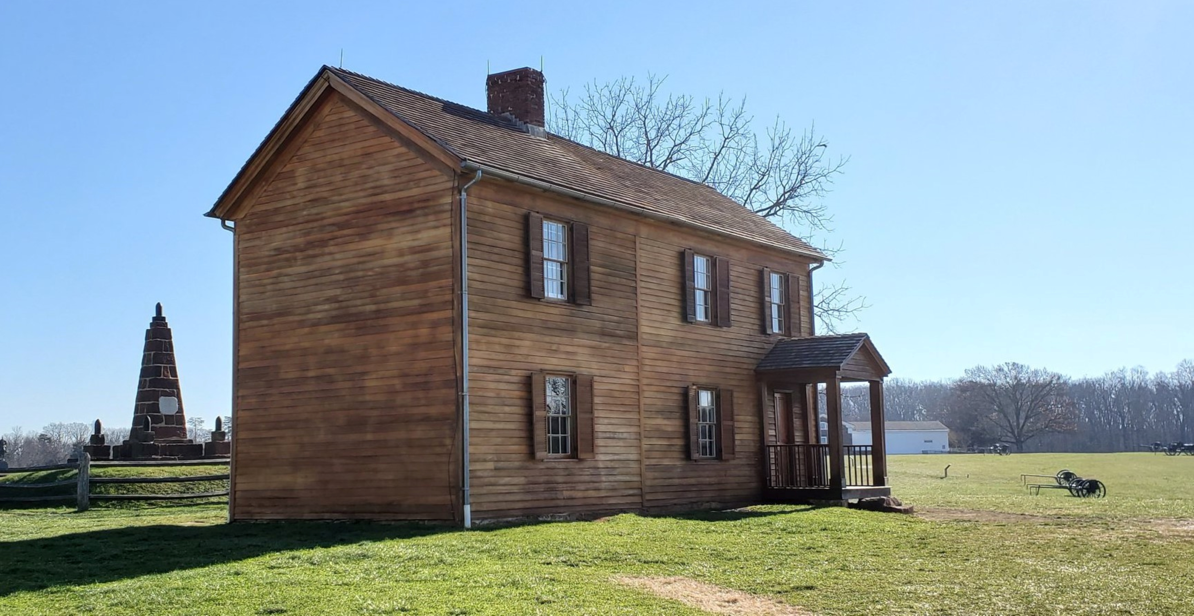
Emerging out on to the open crest of Matthews Hill, site of the opening phase of combat during First Manassas, visitors can observe much of the battlefield landscape. The trail descends into the valley of Young's Branch, and passes the historic Stone House (open seasonally). The building, which dates to the second quarter of the nineteenth century, served as an aide station during both battles of Manassas.
After crossing Lee Highway (Route 29) at the pedestrian crosswalk, the trail heads up Henry Hill to the scene of fierce artillery clashes from opposing guns. Caught in the middle was Henry house, home of Judith Carter Henry, an elderly widow, who refused to evacuate her home during the battle and was killed by cannon fire (she is buried nearby).
ear this spot, Brig. Gen. Thomas J. Jackson earned his nickname "Stonewall," as his presence on horseback rallied the shattered Confederates for a final push that sent the Union forces into retreat.
Accessibility This trail does not meet ADA accessibility guidelines.
Matthews Hill Loop Trail the Park Service's write-up
30-90 Minutes · dogs allowed
Start Matthews Hill / Auto Tour Stop #4
Distance : .9 miles
Difficulty: Easy
Hiking time: 1. Start from the Matthews Hill Parking Lot (Auto Tour Stop #4). At the north side of the lot, an interpretive panel describes the fighting on Matthews Hill. The trail begins to the side of the sign.
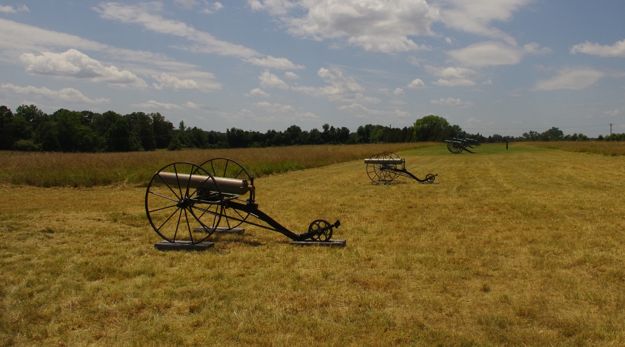
2. Start walking up the hill until you reach a line of cannons. At this point, the Visitor Center wlil be visible to your front.
3. Follow mowed path down the hill before the trail turns east into the woods.
4. Follow signs as the trail loops back to the parking lot.
Explore the ground on which the opening phase of combat occurred during the Battle of First Manassas (Bull Run).Begin your walk at the Matthews Hill parking lot (Tour Stop #4).The trail leads up the crest of the hill to Capt. William Reynolds' battery of Union artillery. From this vantage point, visitors can observe the landscape from Union artillery positions that overlook the historic Stone House and Confederate artillery positions on distant Henry Hill. Scenic vistas looking south and west give an excellent view of major portions of the battlefield. The trail descends down the front slope of Matthews Hill before turning east and entering the woods.Visitors will soon come upon the Stovall monument, marking the approximate location where Pvt. George Stovall of the 8 th Georgia was killed. The trail loops back by paralleling the Union battle line, with trailside markers indicating the approximate location of Federal regiments during the combat.
Accessibility This trail does not meet ADA accessibility guidelines.
Henry Hill Bridle Trail
Henry Hill Loop Trail
HistoryVisitor centers
Along the way Robinson House Site Henry Hill Visitor Center
Henry Hill Loop Trail the Park Service's write-up
30-90 Minutes · dogs allowed
Start Henry Hill Loop Trail / Park at Henry Hill Visitor Center
Distance: 1.1-mile circuit hike
Difficulty: Easy
Hiking Time: 1 hour
Elevation Change: 120 feet 1. Start from the backside of the visitor center. (Side furthest from parking lot)
2. Start walking the line of black cannon in the direction of the Henry House.
3. Follow markers and mowed path. Visitor center will be visible for the entire hike.
The critical fighting at First Manassas (Bull Run) centered on Henry Hill.This trail begins behind the visitor center, leads past Ricketts' Battery of Union artillery, and continues to the rebuilt Henry House. In the yard of the 1870 house is the grave of widow Judith Carter Henry, who was mortally wounded by artillery fire and the only civilian killed during the first battle. Behind the house is an 1865 monument erected by Union soldiers in "Memory of the Patriots who fell at Bull Run." From the Henry House the trail continues north to the location of Imboden's Confederate artillery overlooking Matthews Hill- occupied during the morning phase of the battle- and then across the fields to the site of the Robinson House, where Colonel. Wade Hampton led his South Carolina troops into the battle. The trail loops back along the Southern line, where Brig. Gen. Thomas J. Jackson received his famous nickname "Stonewall" from Brig. Gen. Barnard Bee, to the site where Confederate infantry captured artillery from Captain. Charles Griffin's Union battery- a major turning point in the battle.The final stop faces Chinn Ridge where, late in the afternoon, a Confederate attack crushed Gen. Irvin McDowell's right flank and began the rout of the entire Union army.
Accessibility This trail does not meet ADA accessibility guidelines.
Hilltop Bridle Loop
Main Bridle Loop Trail
Manassas Main Bridle Trail
Matthews Hill Administrative Trail
Matthews Hill Bridle Loop
Matthews Hill Loop Trail
Matthews Hill Loop Trail the Park Service's write-up
30-90 Minutes · dogs allowed
Start Matthews Hill / Auto Tour Stop #4
Distance : .9 miles
Difficulty: Easy
Hiking time: 1. Start from the Matthews Hill Parking Lot (Auto Tour Stop #4). At the north side of the lot, an interpretive panel describes the fighting on Matthews Hill. The trail begins to the side of the sign.
2. Start walking up the hill until you reach a line of cannons. At this point, the Visitor Center wlil be visible to your front.
3. Follow mowed path down the hill before the trail turns east into the woods.
4. Follow signs as the trail loops back to the parking lot.
Explore the ground on which the opening phase of combat occurred during the Battle of First Manassas (Bull Run).Begin your walk at the Matthews Hill parking lot (Tour Stop #4).The trail leads up the crest of the hill to Capt. William Reynolds' battery of Union artillery. From this vantage point, visitors can observe the landscape from Union artillery positions that overlook the historic Stone House and Confederate artillery positions on distant Henry Hill. Scenic vistas looking south and west give an excellent view of major portions of the battlefield. The trail descends down the front slope of Matthews Hill before turning east and entering the woods.Visitors will soon come upon the Stovall monument, marking the approximate location where Pvt. George Stovall of the 8 th Georgia was killed. The trail loops back by paralleling the Union battle line, with trailside markers indicating the approximate location of Federal regiments during the combat.
Accessibility This trail does not meet ADA accessibility guidelines.
Path to Groveton Confederate Cemetery
Path to New York Monument
Path to Stone House
Portici Bridle Trail
Portici Trail
History
Along the way Ball Family Cemetery Portici House Site
Portici-Henry Hill Connector Bridle Trail
Second Manassas Trail
Visitor centers
Along the way Henry Hill Visitor Center
Brawner Farm Loop Trail the Park Service's write-up
45-75 Minutes · dogs allowed
Start Brawner Farm Parking Lot (Tour Stop #1)
Distance: 1.6 mile roundtrip hike
Difficulty: Easy
Hiking Time: 1 hour 1. Park at the Brawner Farm parking lot off Pageland Lane. Follow the paved parth town to the Brawner Farmhouse.
2. Continue east along the Union line of battle. A short spur trail takes you toward Battery Heights, a Union artillery position during the fighting at Brawner Farm.
3. Trail loops back along the Confederate line of battle. Begin at the Brawner Farm parking lot off Pageland Lane (Tour Stop #1). This trail sweeps across historic farmland and the scene of some of the deadliest fighting during the opening day of the Battle of Second Manassas. Follow the paved path down to the Brawner Farm Interpretive Center (open March-November), and continue east along the Union battle line. A short side trail leads up to Battery Heights, where Capt. Joseph B. Campbell unlimbered the cannon of 4th U.S. Artillery, Battery B. The trail loops back via the Confederate position, walking the battle line once occupied by the Stonewall Brigade. Trailside historical markers and interpretive signs describe the combat actions that occurred.
Accessibility This trail does not meet ADA accessibility guidelines.
Chinn Ridge Trail the Park Service's write-up
45-70 Minutes · dogs allowed
Start Chinn Ridge Parking Lot, Stop #10
Distance: 1 mile hike (.5 miles out and .5 miles back)
Difficulty: Easy
Hiking Time: 1 hour 1. Trail begins at the Chinn Ridge Parking Lot.
2. Follow paved path and markers that tell the story of the heaviest sustained fightingat Second Manassas.
3. At the end of the paved trail, a marker describes the fighting on Chinn Ridge during First Manassas. At this point, return along the paved path back to the parking lot. The trail begins at the Chinn Ridge parking lot (Tour Stop #10). The paved path, which is wheelchair accessible, traverses an area that witnessed heavy fighting on August 30, 1862. Interpretive signs tell the story of Union troops who made a desperate stand on Chinn Ridge and blunted the Confederate counterattack. Near the conclusion of the trail, visitors will pass a monument dedicated to Col. Fletcher Webster of the 12th Massachusetts, killed in action on Chinn Ridge. He was the son of noted orator Daniel Webster. The paved trail concludes at an interpretive marker discussing the combat on Chinn Ridge during the Battle of First Manassas (July 21, 1861). Visitors then return to the parking lot via the same path.
Accessibility Wheelchair Accessible
Second Manassas Trail the Park Service's write-up
3-4 Hours · dogs allowed
Start Henry Hill Visitor Center
Distance: 6.6 mile roundtrip hike
Difficulty: Moderate-Strenuous
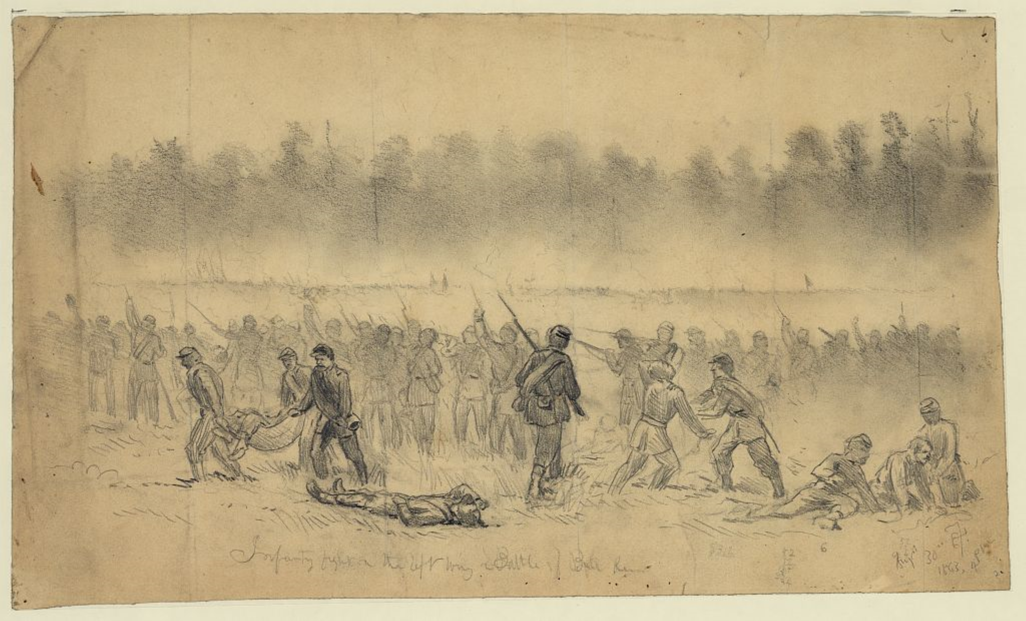
Hiking Time: 3+ hours This trail leads visitors through the climactic stages of the Second Battle of Manassas. Fighting occurred on August 28-30,1862 between Confederate troops under the command of Gen. Robert E. Lee and Union forces led by Gen. John Pope.
The trail begins at the Henry Hill Visitor Center and heads north, past the Stone House (open seasonally), to Buck Hill where Pope established his headquarters. From here, visitors can look west to the area of the unfinished railroad where Stonewall Jackson placed his Confederate forces.
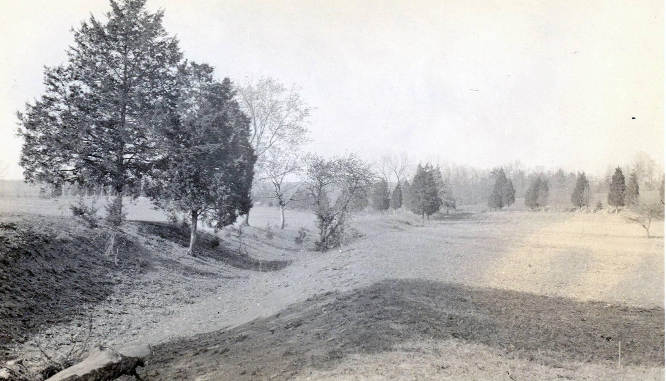
After reaching Matthews Hill and crossing Sudley Road, the trail continues along the graded railroad bed leading to a clearing at the Deep Cut, the scene of a bloody battle where Jackson's troops turned back a major assault on the final day of the battle.
The trail then turns south and passes the Lucinda Dogan House (one of three surviving Civil War-era structures in the park). Crossing Rt. 29, the trail winds towards New York Avenue where monuments mark the site where the 5th and 10th New York regiments were slaughtered in a massive Confederate counterattack that swept eastward toward Chinn Ridge.
fter touring the Chinn Ridge area, scene of severe fighting on August 30,1862, the trail leads back to Henry Hill, where the final struggle during Second Manassas played out. Signage along Sudley Road describes the final phases of the Battle.
Accessibility This trail does not meet ADA accessibility guidelines.
Stone Bridge (Accessible)
Stone Bridge Loop
History
Along the way Van Pelt House Site
Stone Bridge Loop Trail the Park Service's write-up
45-60 Minutes · dogs allowed
Start Stone Bridge Parking Lot, Tour Stop #12
Distance: 1.3 miles
Difficulty: Moderate
Hiking Time: 1 Hour 1. Start from the Stone Bridge parking lot at the side closest to Bull Run.
2. Start walking down the trail and across the Stone Bridge.
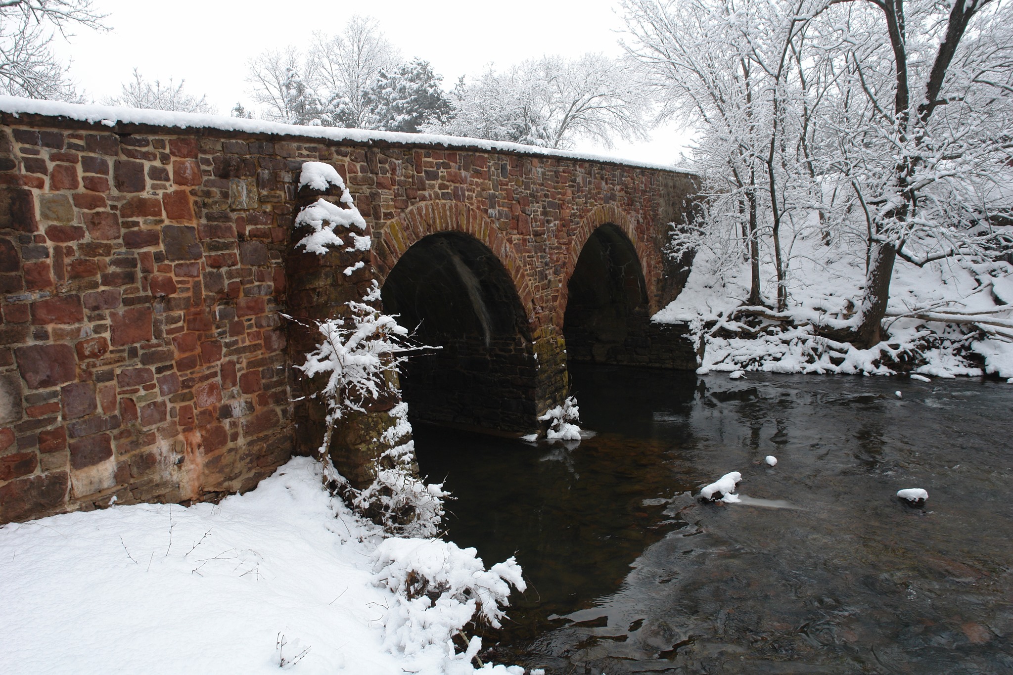
3. Upon crossing the Stone Bridge, follow the path to the right along Bull Run. Follow markers and path. Begin your hike at the Stone Bridge parking lot (Tour Stop #12). Follow the trail down to the post-war Stone Bridge (Confederate troops destroyed the war-time bridge in 1862), where Union forces deployed to divert Confederate attention from the main advance upstream. Upon crossing the bridge, the trail continues along Bull Run with its picturesque displays of wildflowers in the spring and colorful foliage in the fall. The trail ascends a steep bluff to the overlook of Farm Ford, where Union troops led by Col. William T. Sherman crossed Bull Run on the day of the battle. Turning west away from the stream, the trail emerges out in the open fields of the war-time Van Pelt property. Visitors will pass the site of the Van Pelt home, 'Avon,' used by Confederate Col. Nathan G. Evans as his headquarters. The trail cuts back over a watershed area with excellent birding opportunities from the wooden boardwalk through the marsh.
Accessibility This trail does not meet ADA accessibility guidelines.
Stone Bridge Loop Trail
History
Along the way Van Pelt House Site
Stone Bridge Loop Trail the Park Service's write-up
45-60 Minutes · dogs allowed
Start Stone Bridge Parking Lot, Tour Stop #12
Distance: 1.3 miles
Difficulty: Moderate
Hiking Time: 1 Hour 1. Start from the Stone Bridge parking lot at the side closest to Bull Run.
2. Start walking down the trail and across the Stone Bridge.
3. Upon crossing the Stone Bridge, follow the path to the right along Bull Run. Follow markers and path. Begin your hike at the Stone Bridge parking lot (Tour Stop #12). Follow the trail down to the post-war Stone Bridge (Confederate troops destroyed the war-time bridge in 1862), where Union forces deployed to divert Confederate attention from the main advance upstream. Upon crossing the bridge, the trail continues along Bull Run with its picturesque displays of wildflowers in the spring and colorful foliage in the fall. The trail ascends a steep bluff to the overlook of Farm Ford, where Union troops led by Col. William T. Sherman crossed Bull Run on the day of the battle. Turning west away from the stream, the trail emerges out in the open fields of the war-time Van Pelt property. Visitors will pass the site of the Van Pelt home, 'Avon,' used by Confederate Col. Nathan G. Evans as his headquarters. The trail cuts back over a watershed area with excellent birding opportunities from the wooden boardwalk through the marsh.
Accessibility This trail does not meet ADA accessibility guidelines.
Stuart’s Hill Loop - Cundiff Pond Connector Trail
Stuart’s Hill Loop Connector Trail
Picnic areas
Along the way Stuart's Hill Picnic Area
Stuart's Hill Loop Trail
HistoryPicnic areas
Along the way Cundiff House Site W. Lewis House Site Stuart's Hill Picnic Area
Stuarts Hill Walkways
Picnic areas
Along the way Stuart's Hill Picnic Area
Sudley Connector Trail
Sudley Loop Trail
Sudley Loop Trail the Park Service's write-up
15-60 Minutes · dogs allowed
Start Sudley Loop Trailhead
Distance: .6 mile circuit hike
Difficulty: Easy
Hiking Time: 30 minutes
Elevation Change: 47 feet 1. Park at Sudley Parking Lot. (Second Manassas Driving Tour Stop #5)
2. Cross Sudley Road (Use extreme caution)
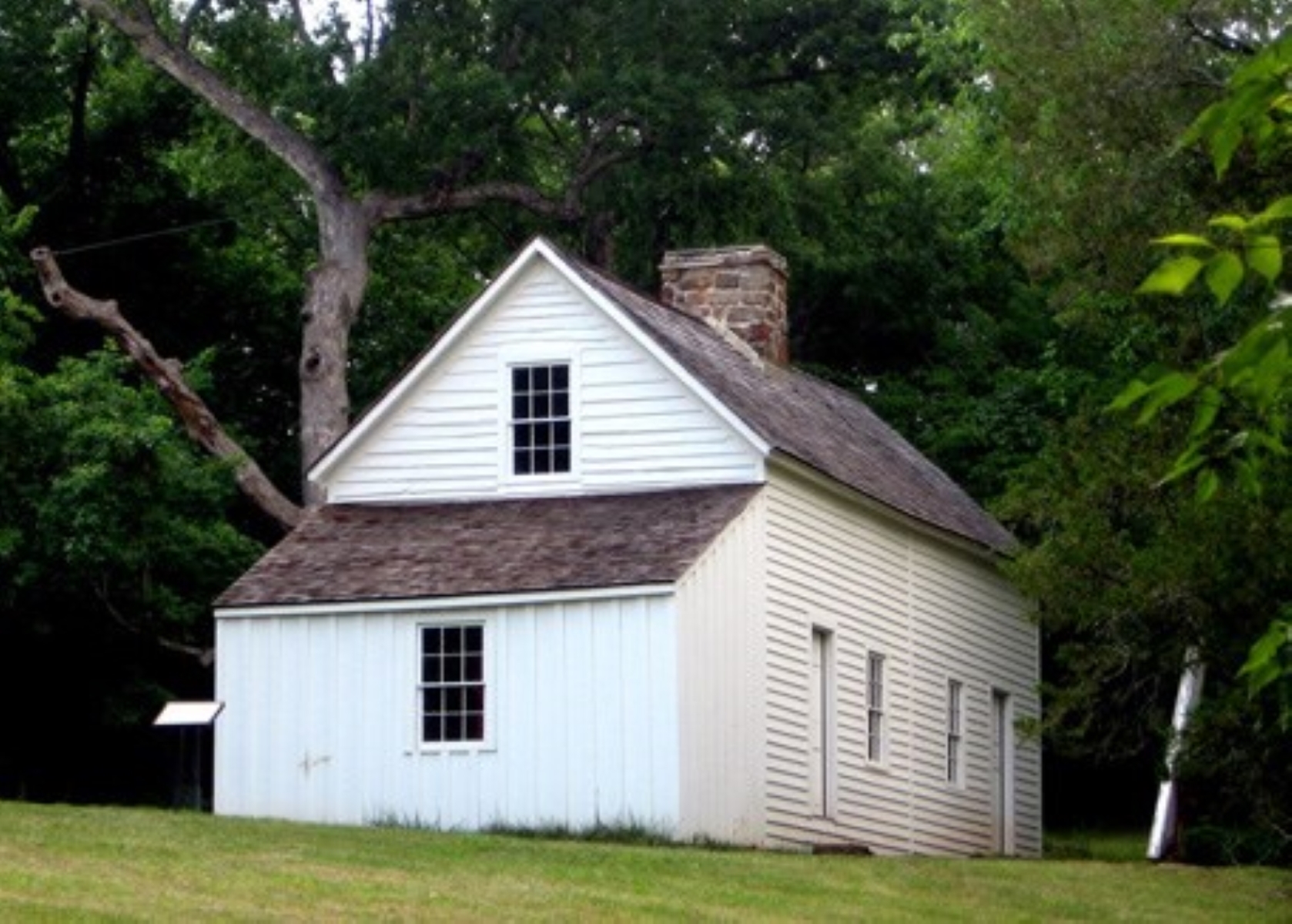
3. Follow markers and maintained path The trail parallels the historic Unfinished Railroad bed for a short distance before turning north along Bull Run. Visitors will pass the historic Thornberry House (not open to the public), one of only three pre-war structures still standing in the park. The trail continues past the confluence of Bull Run and Catharpin Creek, to the site of Sudley Spring Ford. More than 13,000 Union troops crossed Catharpin Creek at this site in route to the battlefield. As visitors begin their return, the trail follows the war-time Sudley Road trace.
Accessibility This trail does not meet ADA accessibility guidelines. There are also several short but steep ascents/decents that may be difficulty for some visitors with limited walking movement.
Unfinished Railroad Loop Trail
Unfinished Railroad Loop Trail the Park Service's write-up
60-75 Minutes · dogs allowed
Start Unfinished Railroad Parking Lot, Stop #6
Distance: 1.2 mile roundtrip hike
Difficulty: Easy-Moderate
Hiking Time: 1 hour 1. Begin at the Unfinished Railroad Parking Lot (Tour Stop #6).
2. Take the fork to the left to begin the trail. Interpretive markers along the trail discuss the fighting along the Unfinished Railroad during August 29, 1862.
3. The trail loops back to the parking lot along the Federal side of the railroad. Begin your walk at the Unfinished Railroad parking lot (Tour Stop #6) off Featherbed Lane. The trail heads northeast along the unfinished railroad, where Stonewall Jackson placed his Confederate troops. Interpretive markers discuss the bayonet charge by Cuvier Grover's Union brigade on August 29, 1862, which briefly punctured the Confederate defensive line. Before looping back to the parking lot, hikers have the option of continuing down the railroad bed, via the Sudley Connector Trail, to Sudley Church. The Sudley Church area served as the Confederate army's left flank during the Battle of Second Manassas.
Accessibility This trail does not meet ADA accessibility guidelines.
About these trails
The lines are the National Park Service's public trails layer, the trailheads and the waterfalls, views, peaks and historic places along them the Service's public points of interest, read 2026-10-14 and simplified for the map. The write-ups are the Service's own "things to do", unedited. Heights come from USGS 3DEP through Terrain Tiles on AWS (Mapzen/Tilezen), read along each line and rounded; a short trail on steep ground can be off by a few tens of feet. Closures change: check the park's own site before you go.