
Second Manassas Trail
Visitor centers
Along the way Henry Hill Visitor Center
Brawner Farm Loop Trail 1.6 mi round trip · the Park Service's write-up
45-75 Minutes · dogs allowed · season Brawner Farm Interpretive Center is open seasonally. Park grounds are open year-round.
Start Brawner Farm Parking Lot (Tour Stop #1)
Distance: 1.6 mile roundtrip hike
Difficulty: Easy
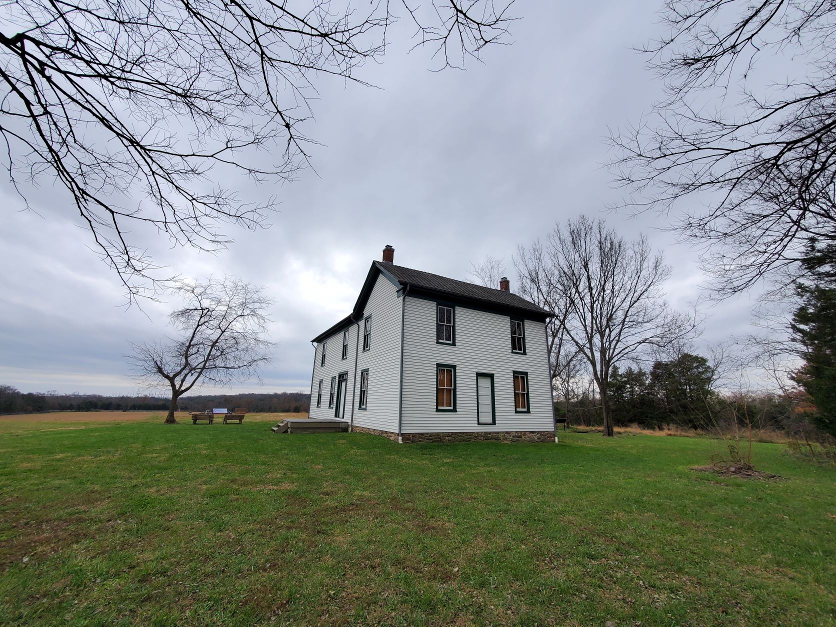
Hiking Time: 1 hour 1. Park at the Brawner Farm parking lot off Pageland Lane. Follow the paved parth town to the Brawner Farmhouse.
2. Continue east along the Union line of battle. A short spur trail takes you toward Battery Heights, a Union artillery position during the fighting at Brawner Farm.
3. Trail loops back along the Confederate line of battle. Begin at the Brawner Farm parking lot off Pageland Lane (Tour Stop #1). This trail sweeps across historic farmland and the scene of some of the deadliest fighting during the opening day of the Battle of Second Manassas. Follow the paved path down to the Brawner Farm Interpretive Center (open March-November), and continue east along the Union battle line. A short side trail leads up to Battery Heights, where Capt. Joseph B. Campbell unlimbered the cannon of 4th U.S. Artillery, Battery B. The trail loops back via the Confederate position, walking the battle line once occupied by the Stonewall Brigade. Trailside historical markers and interpretive signs describe the combat actions that occurred.
Accessibility This trail does not meet ADA accessibility guidelines.
Chinn Ridge Trail the Park Service's write-up
45-70 Minutes · dogs allowed
Start Chinn Ridge Parking Lot, Stop #10
Distance: 1 mile hike (.5 miles out and .5 miles back)
Difficulty: Easy
Hiking Time: 1 hour 1. Trail begins at the Chinn Ridge Parking Lot.
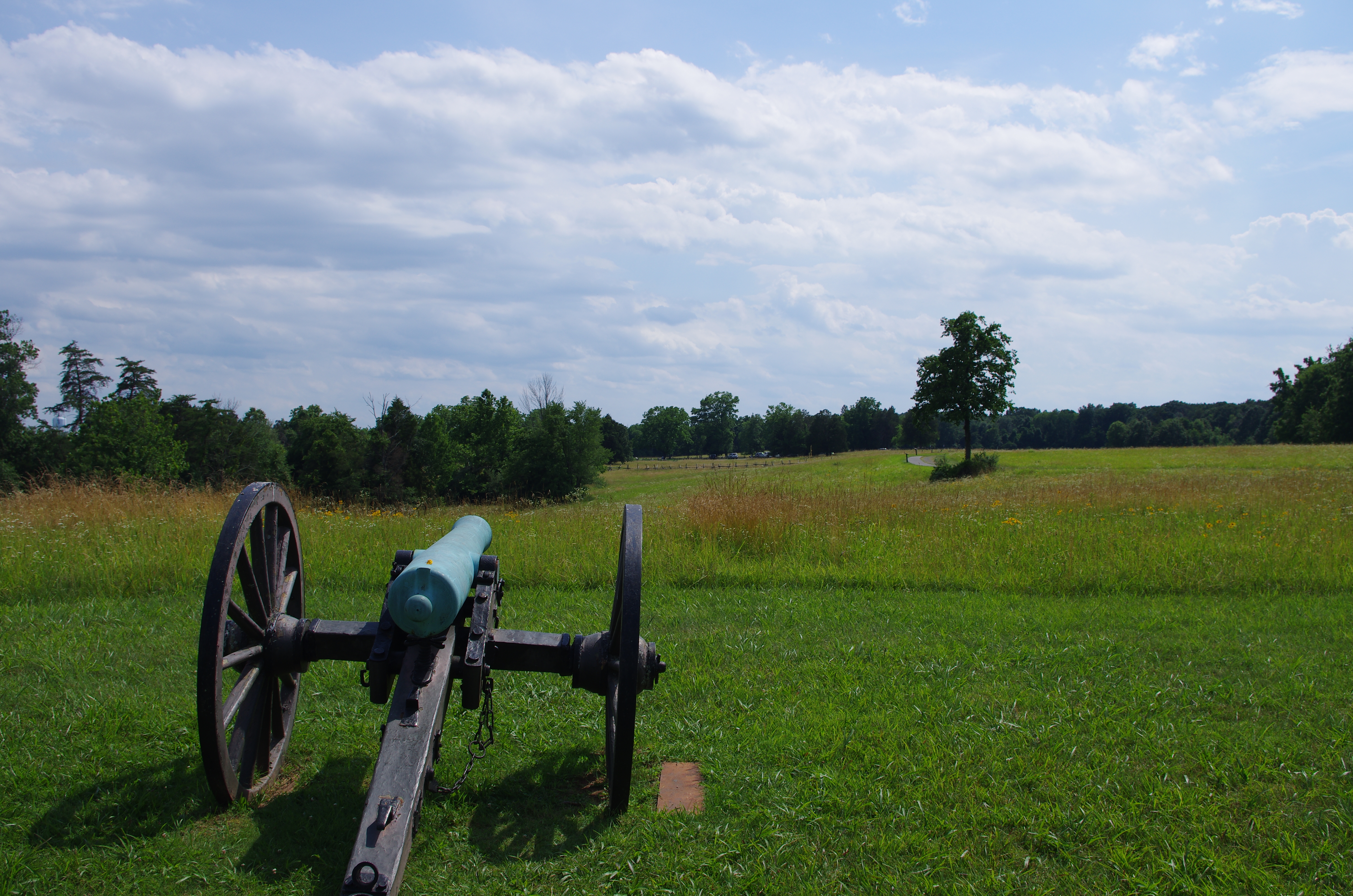
2. Follow paved path and markers that tell the story of the heaviest sustained fightingat Second Manassas.
3. At the end of the paved trail, a marker describes the fighting on Chinn Ridge during First Manassas. At this point, return along the paved path back to the parking lot. The trail begins at the Chinn Ridge parking lot (Tour Stop #10). The paved path, which is wheelchair accessible, traverses an area that witnessed heavy fighting on August 30, 1862. Interpretive signs tell the story of Union troops who made a desperate stand on Chinn Ridge and blunted the Confederate counterattack. Near the conclusion of the trail, visitors will pass a monument dedicated to Col. Fletcher Webster of the 12th Massachusetts, killed in action on Chinn Ridge. He was the son of noted orator Daniel Webster. The paved trail concludes at an interpretive marker discussing the combat on Chinn Ridge during the Battle of First Manassas (July 21, 1861). Visitors then return to the parking lot via the same path.
Accessibility Wheelchair Accessible
Second Manassas Trail 6.6 mi loop · the Park Service's write-up
3-4 Hours · dogs allowed
Start Henry Hill Visitor Center
Distance: 6.6 mile roundtrip hike
Difficulty: Moderate-Strenuous
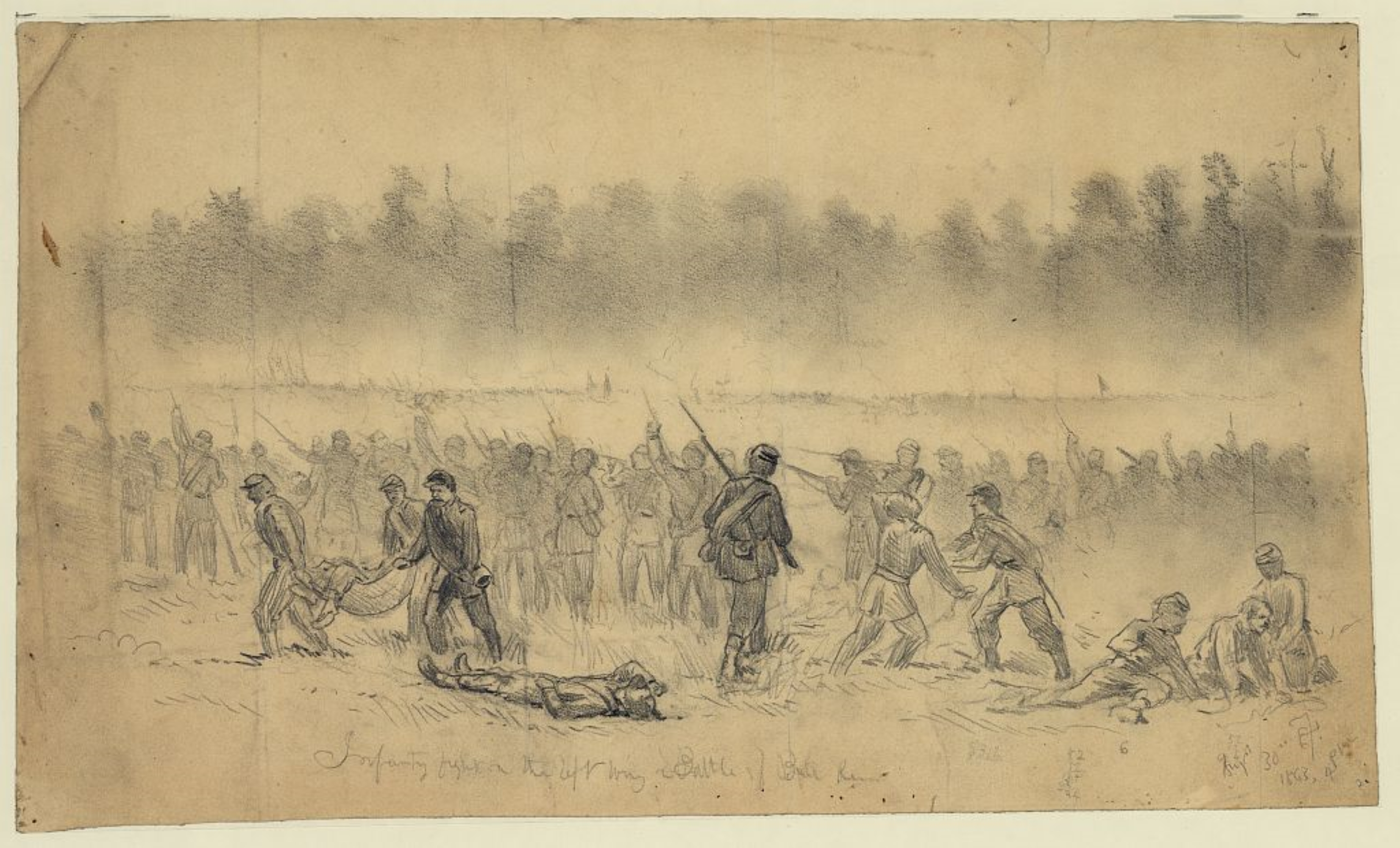
Hiking Time: 3+ hours This trail leads visitors through the climactic stages of the Second Battle of Manassas. Fighting occurred on August 28-30,1862 between Confederate troops under the command of Gen. Robert E. Lee and Union forces led by Gen. John Pope.
The trail begins at the Henry Hill Visitor Center and heads north, past the Stone House (open seasonally), to Buck Hill where Pope established his headquarters. From here, visitors can look west to the area of the unfinished railroad where Stonewall Jackson placed his Confederate forces.
After reaching Matthews Hill and crossing Sudley Road, the trail continues along the graded railroad bed leading to a clearing at the Deep Cut, the scene of a bloody battle where Jackson's troops turned back a major assault on the final day of the battle.
The trail then turns south and passes the Lucinda Dogan House (one of three surviving Civil War-era structures in the park). Crossing Rt. 29, the trail winds towards New York Avenue where monuments mark the site where the 5th and 10th New York regiments were slaughtered in a massive Confederate counterattack that swept eastward toward Chinn Ridge.
fter touring the Chinn Ridge area, scene of severe fighting on August 30,1862, the trail leads back to Henry Hill, where the final struggle during Second Manassas played out. Signage along Sudley Road describes the final phases of the Battle.
Accessibility This trail does not meet ADA accessibility guidelines.