
Matthews Hill Loop Trail
Matthews Hill Loop Trail the Park Service's write-up
30-90 Minutes · dogs allowed
Start Matthews Hill / Auto Tour Stop #4
Distance : .9 miles
Difficulty: Easy
Hiking time: 1. Start from the Matthews Hill Parking Lot (Auto Tour Stop #4). At the north side of the lot, an interpretive panel describes the fighting on Matthews Hill. The trail begins to the side of the sign.
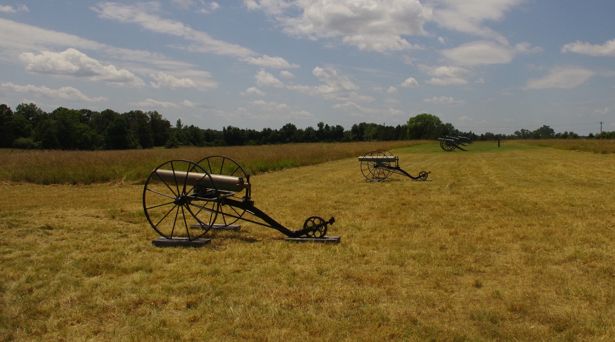
2. Start walking up the hill until you reach a line of cannons. At this point, the Visitor Center wlil be visible to your front.
3. Follow mowed path down the hill before the trail turns east into the woods.
4. Follow signs as the trail loops back to the parking lot.
Explore the ground on which the opening phase of combat occurred during the Battle of First Manassas (Bull Run).Begin your walk at the Matthews Hill parking lot (Tour Stop #4).The trail leads up the crest of the hill to Capt. William Reynolds' battery of Union artillery. From this vantage point, visitors can observe the landscape from Union artillery positions that overlook the historic Stone House and Confederate artillery positions on distant Henry Hill. Scenic vistas looking south and west give an excellent view of major portions of the battlefield. The trail descends down the front slope of Matthews Hill before turning east and entering the woods.Visitors will soon come upon the Stovall monument, marking the approximate location where Pvt. George Stovall of the 8 th Georgia was killed. The trail loops back by paralleling the Union battle line, with trailside markers indicating the approximate location of Federal regiments during the combat.
Accessibility This trail does not meet ADA accessibility guidelines.