
First Manassas Trail
HistoryVisitor centers
Along the way Pittsylvania House Site Van Pelt House Site Henry Hill Visitor Center
First Manassas Trail the Park Service's write-up
2-4 Hours · dogs allowed
Start Henry Hill Visitor Center
Distance: 5.4 mile circuit hike
Difficulty: Moderate-Strenuous
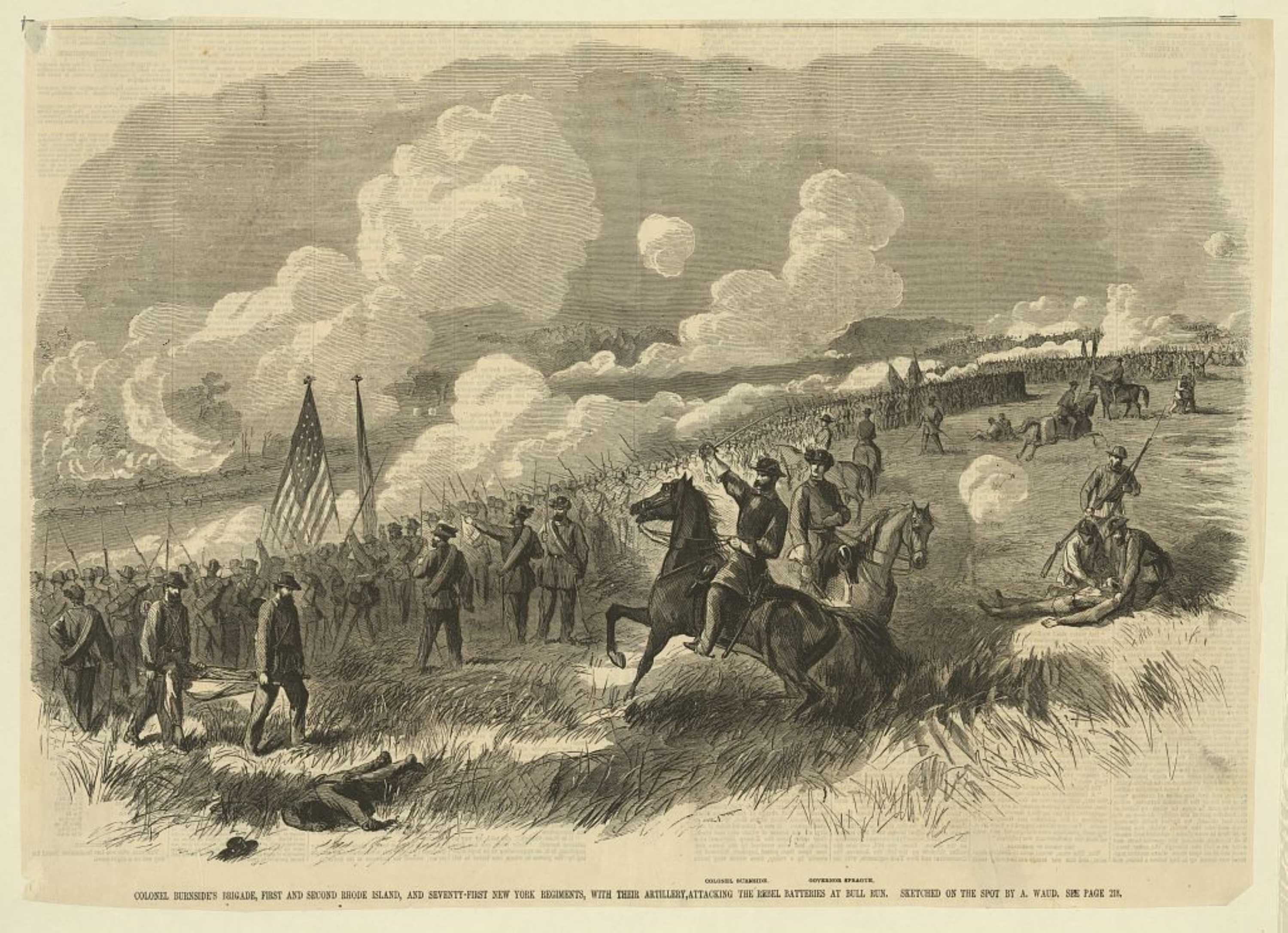
Hiking Time: 2+ hours This extended hike leads visitors over the landscape where on a warm July day in 1861, the newly formed Union and Confederate armies clashed for the first time.
The trail begins at the Visitor Center and leads you through forested areas, emerging at the Stone Bridge. After following Bull Run upstream, the trail turns west and meanders over farm fields and woods.
Emerging out on to the open crest of Matthews Hill, site of the opening phase of combat during First Manassas, visitors can observe much of the battlefield landscape. The trail descends into the valley of Young's Branch, and passes the historic Stone House (open seasonally). The building, which dates to the second quarter of the nineteenth century, served as an aide station during both battles of Manassas.
After crossing Lee Highway (Route 29) at the pedestrian crosswalk, the trail heads up Henry Hill to the scene of fierce artillery clashes from opposing guns. Caught in the middle was Henry house, home of Judith Carter Henry, an elderly widow, who refused to evacuate her home during the battle and was killed by cannon fire (she is buried nearby).
ear this spot, Brig. Gen. Thomas J. Jackson earned his nickname "Stonewall," as his presence on horseback rallied the shattered Confederates for a final push that sent the Union forces into retreat.
Accessibility This trail does not meet ADA accessibility guidelines.
Matthews Hill Loop Trail the Park Service's write-up
30-90 Minutes · dogs allowed
Start Matthews Hill / Auto Tour Stop #4
Distance : .9 miles
Difficulty: Easy
Hiking time: 1. Start from the Matthews Hill Parking Lot (Auto Tour Stop #4). At the north side of the lot, an interpretive panel describes the fighting on Matthews Hill. The trail begins to the side of the sign.
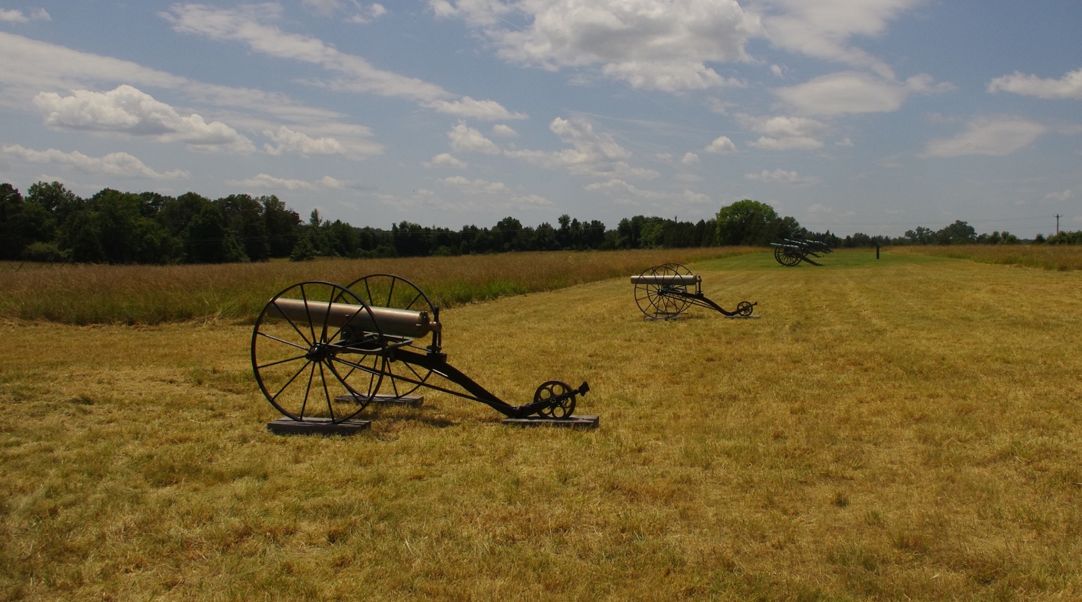
2. Start walking up the hill until you reach a line of cannons. At this point, the Visitor Center wlil be visible to your front.
3. Follow mowed path down the hill before the trail turns east into the woods.
4. Follow signs as the trail loops back to the parking lot.
Explore the ground on which the opening phase of combat occurred during the Battle of First Manassas (Bull Run).Begin your walk at the Matthews Hill parking lot (Tour Stop #4).The trail leads up the crest of the hill to Capt. William Reynolds' battery of Union artillery. From this vantage point, visitors can observe the landscape from Union artillery positions that overlook the historic Stone House and Confederate artillery positions on distant Henry Hill. Scenic vistas looking south and west give an excellent view of major portions of the battlefield. The trail descends down the front slope of Matthews Hill before turning east and entering the woods.Visitors will soon come upon the Stovall monument, marking the approximate location where Pvt. George Stovall of the 8 th Georgia was killed. The trail loops back by paralleling the Union battle line, with trailside markers indicating the approximate location of Federal regiments during the combat.
Accessibility This trail does not meet ADA accessibility guidelines.