
Chinn Ridge Trail
Chinn Ridge Trail the Park Service's write-up
45-70 Minutes · dogs allowed
Start Chinn Ridge Parking Lot, Stop #10
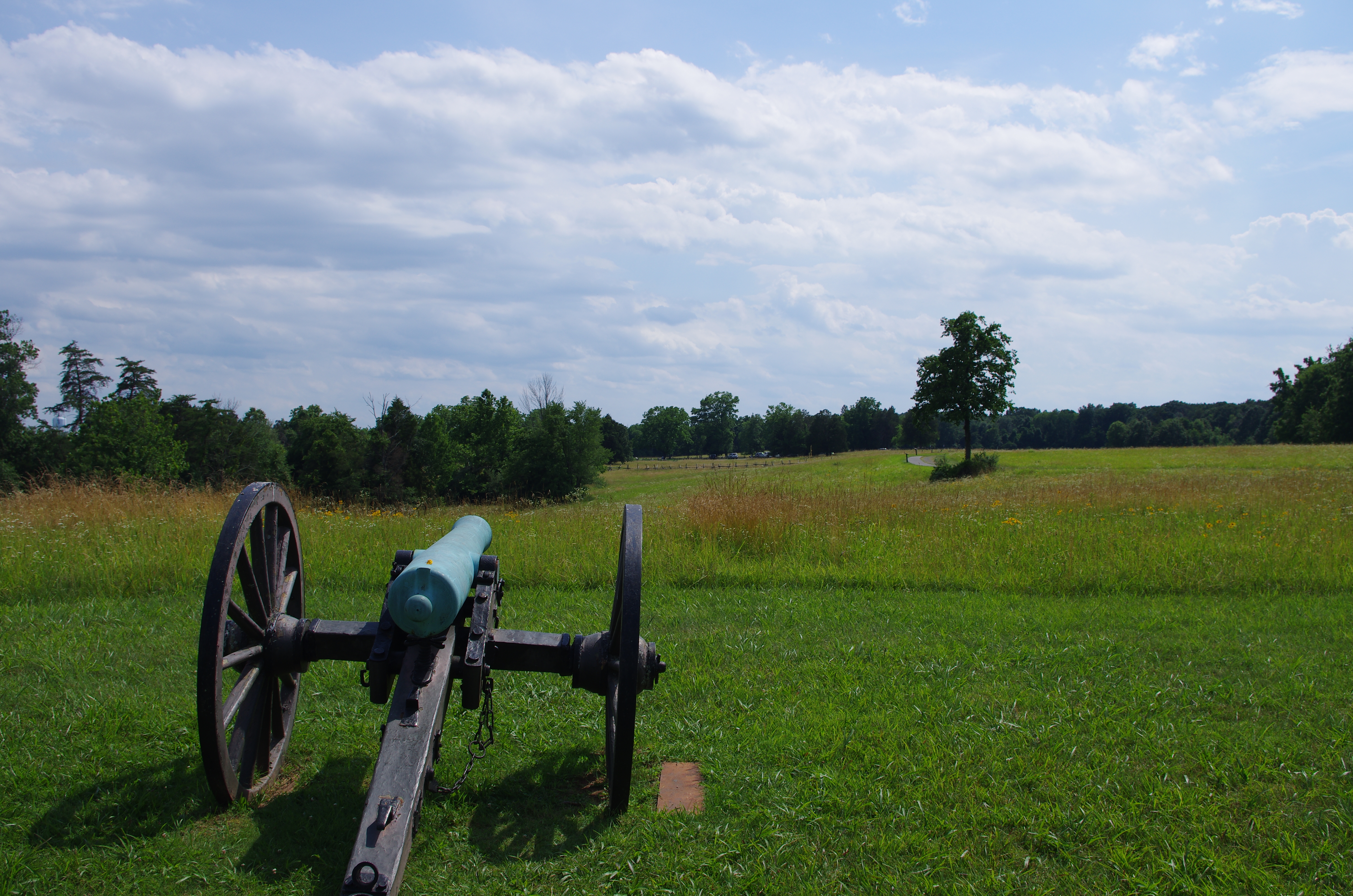
Distance: 1 mile hike (.5 miles out and .5 miles back)
Difficulty: Easy
Hiking Time: 1 hour 1. Trail begins at the Chinn Ridge Parking Lot.
2. Follow paved path and markers that tell the story of the heaviest sustained fightingat Second Manassas.
3. At the end of the paved trail, a marker describes the fighting on Chinn Ridge during First Manassas. At this point, return along the paved path back to the parking lot. The trail begins at the Chinn Ridge parking lot (Tour Stop #10). The paved path, which is wheelchair accessible, traverses an area that witnessed heavy fighting on August 30, 1862. Interpretive signs tell the story of Union troops who made a desperate stand on Chinn Ridge and blunted the Confederate counterattack. Near the conclusion of the trail, visitors will pass a monument dedicated to Col. Fletcher Webster of the 12th Massachusetts, killed in action on Chinn Ridge. He was the son of noted orator Daniel Webster. The paved trail concludes at an interpretive marker discussing the combat on Chinn Ridge during the Battle of First Manassas (July 21, 1861). Visitors then return to the parking lot via the same path.
Accessibility Wheelchair Accessible