
Brawner Farm Loop Trail
Brawner Farm Loop Trail 1.6 mi round trip · the Park Service's write-up
45-75 Minutes · dogs allowed · season Brawner Farm Interpretive Center is open seasonally. Park grounds are open year-round.
Start Brawner Farm Parking Lot (Tour Stop #1)
Distance: 1.6 mile roundtrip hike
Difficulty: Easy
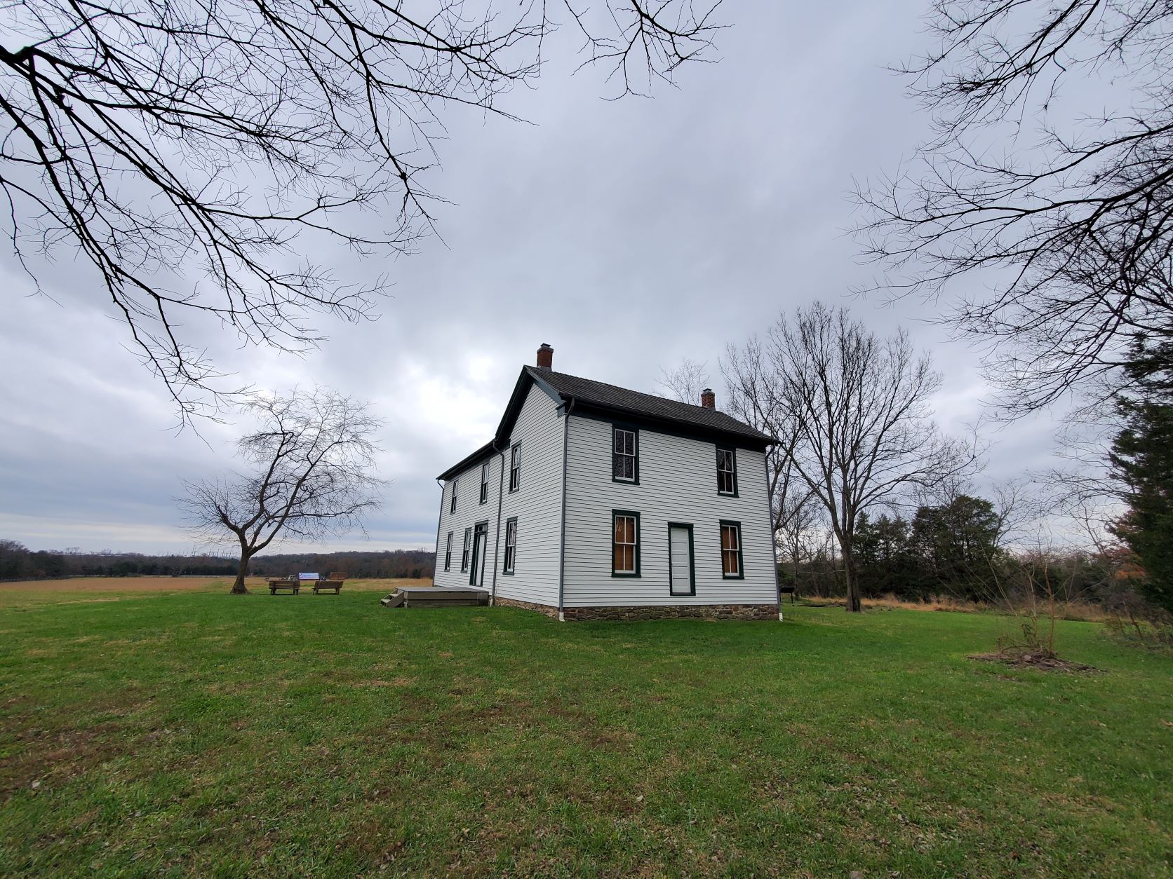
Hiking Time: 1 hour 1. Park at the Brawner Farm parking lot off Pageland Lane. Follow the paved parth town to the Brawner Farmhouse.
2. Continue east along the Union line of battle. A short spur trail takes you toward Battery Heights, a Union artillery position during the fighting at Brawner Farm.
3. Trail loops back along the Confederate line of battle. Begin at the Brawner Farm parking lot off Pageland Lane (Tour Stop #1). This trail sweeps across historic farmland and the scene of some of the deadliest fighting during the opening day of the Battle of Second Manassas. Follow the paved path down to the Brawner Farm Interpretive Center (open March-November), and continue east along the Union battle line. A short side trail leads up to Battery Heights, where Capt. Joseph B. Campbell unlimbered the cannon of 4th U.S. Artillery, Battery B. The trail loops back via the Confederate position, walking the battle line once occupied by the Stonewall Brigade. Trailside historical markers and interpretive signs describe the combat actions that occurred.
Accessibility This trail does not meet ADA accessibility guidelines.