
Manzanita Lake Trail
Picnic areasVisitor centersRanger stationsBoat launches
Along the way Manzanita Lake Boat Launch Manzanita Lake Picnic Area Loomis Ranger Station Loomis Museum
Trailheads Manzanita Lake Trailhead 5,895 ft Drive there · Nobles Emigrant-Summertown Trailhead 5,871 ft Drive there
Walk Manzanita Lake Trail the Park Service's write-up
30-90 Minutes · no dogs · season The Manzanita Lake Trailhead is located at high elevation (5900 feet). The trail can be accessed year-round. Snow can be present on the Manzanita Lake Trail through April. Hikers may benefit from snowshoes, snow/ice traction devices, and/or trekking poles when snow is present.
Start Manzanita Lake
Start : Loomis Plaza / Manzanita Lake Day Use Area
Round Trip Distance : 1.7 miles
Round Trip Time : 1 hour
Elevation: 5,890 ft
Elevation Change : Negligible
Surface: Firm dirt with tree roots and exposed rock in places
360-degree photos from the trail
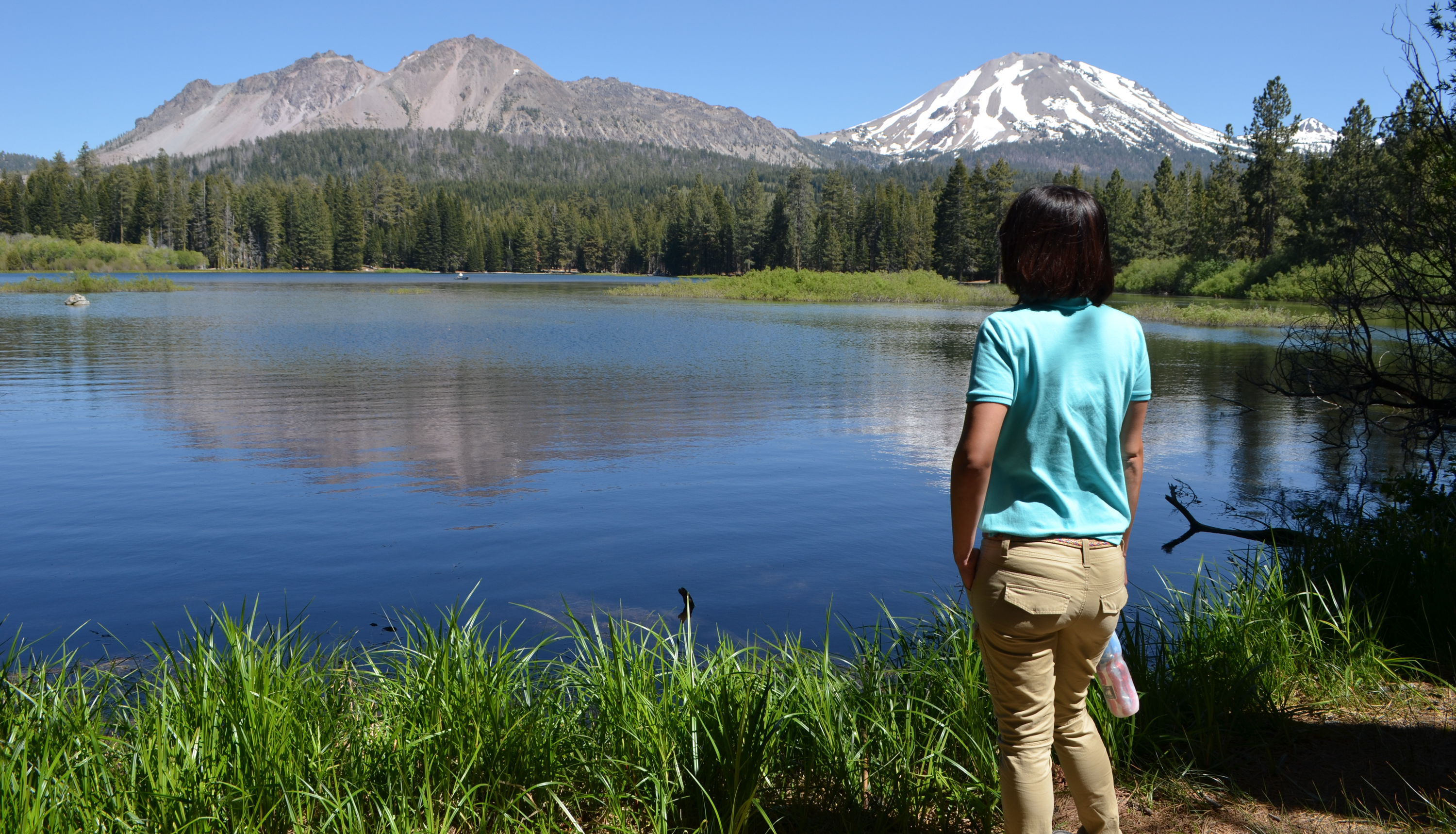
Manzanita Lake Trail is one of a handful of walks in the park with scenic views of the iconic Lassen Peak. Begin the dirt trail around the lake from the Manzanita Lake Day Use Area or Loomis Plaza (between the restrooms and museum). Parking is easiest at the boat launch; Loomis Plaza parking is often full in the summer season. Restrooms are available at the boat launch and the Loomis Plaza. Lassen Peak and Chaos Crags are visible from a large section of the western shore, which is most easily accessed from the boat launch trailhead. Please note that bikes and pets are not permitted on park trails. Strollers and wheelchairs are not recommended as the trail is rocky and narrow in some sections.
Manzanita Lake is a popular habitat for songbirds, raptors, and waterbirds. Black-tailed deer, Douglas squirrels, and golden-mantled ground squirrels are also frequently spotted on the trail. Help keep wild animals wild by never feeding wildlife. The trail offers excellent sunset views. The picnic area provides a clear view across the lake to the west. From the western shore, hikers can enjoy alpenglow cast by the setting sun on Lassen Peak and Chaos Crags.
How to Hike This Trail Safely
Walking the Manzanita Lake Trail involves risk. Learn more about general hiking safety in this high-elevation and remote park. Special considerations for this trail include:
Shade can be limited. We recommend all hikers wear or bring a hat and carry water.
Wear proper footwear (good tread, ankle support, closed toe). Knee and ankle injuries are the most common visitor injury in the park.
Hiking at high elevation can aggravate preexisting medical conditions. Know the effects of altitude. Carry plenty of water, take breaks often, and do not exceed your abilities.
Pets Pets are not permitted on park trails, including in a carrier. This regulation does not apply to service animals assisting a person with a disability. A service animal, as described by the ADA (Americans with Disabilities Act) performs a specific task for a disabled person.
Accessibility The trail is not recommended for wheelchair use. The trail is narrow in places with numerous obstacles including tree roots and exposed rocks. Individuals in wheelchairs can access the Manzanita Lake Picnic Area/Boat Launch to enjoy lake access, bird watching, wildlife viewing, and sunset watching. Service animals assisting a person with a disability are permitted on park trails. A service animal, as described by the ADA (Americans with Disabilities Act) performs a specific task for a disabled person.