
Chaos Crags Trail
Trailhead Crags Lake Trailhead 5,920 ft Drive there
Hike Reflection Lake Loop the Park Service's write-up
15-30 Minutes · no dogs · Spring, Summer, Fall · season <p>Reflection Lake Trailhead is located at 5,890 feet in elevation. Snow can linger on the Reflection Lake Trail well into April. The trail is best enjoyed without snow; typically May through October.</p>
Start Reflection Lake Trail
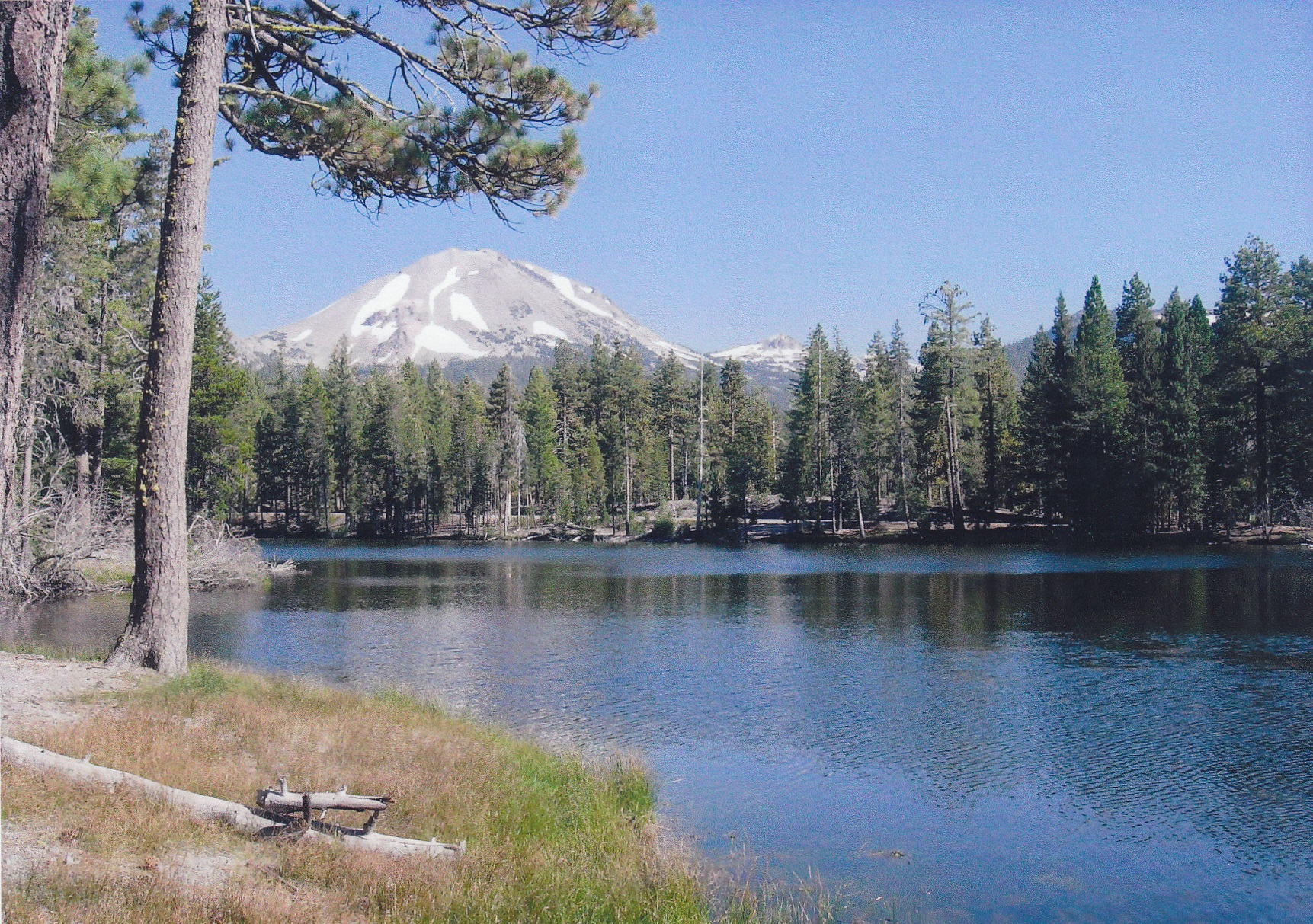
Start : Lily Pond/Reflection Lake Trailhead, across highway from Loomis Museum
Round Trip Distance : 0.5 miles
Round Trip Time : half-hour
Elevation: 5,890 ft
Elevation Change : Negligible
Surface: Dirt with tree roots and exposed rock in places, may be soft/wet in spots.
Season: May through October (when snow-free)
This half-mile loop hike circles Reflection Lake leading to spectacular views of Lassen Peak and Chaos Crags on its northern shore often seen reflecting in the water. It is ideal for families with young children or anyone looking for a short and relatively flat walk with rewarding views. Water birds such as Canada geese, coot and mallard ducks are often on the water. A portion of the trail overlaps the Lily Pond Interpretive Trail, which offers an opportunity to learn about the rich diversity of plant and animal life along the loop.
Reflection Lake Recreation
Recreation on Reflection Lake is limited. Please note:
boats , rafts and other floatation devices are not permitted on Reflection Lake.
Swimming is not advised due to bacterial contaminates, algae, water plants and excessive fallen logs and other obstacles along the shoreline.
Fishing opportunities are limited on Reflection Lake. Excesive water plants and lakeshore debris are sure to snag line and hook. Only tiu chub fish live in Reflection Lake.
Parking is available across the highway at the Loomis Plaza, although the parking area is often full in the summer season. Additional parking is available at the Manzanita Lake Day Use Area , which connects to the Loomis Plaza via a short section of the Manzanita Lake Trail . Bikes and pets are not permitted on park trails. Strollers and wheelchairs are not recommended as the trail is rocky and narrow in some sections.
How to Hike This Trail Safely
Walking any park trail involves risk. This trail is appropriate for all ages, however all visitors should be familiar with general hiking safety in this high-elevation and remote park, including:
Wear proper footwear (good tread, ankle support, closed toe). Knee and ankle injuries are the most common visitor injury in the park.
Hiking at high elevation can aggravate preexisting medical conditions. Know the effects of altitude. Carry plenty of water, take breaks often, and do not exceed your abilities.
Pets Pets are not permitted on park trails, including in a carrier. Learn more about visiting with pets . This regulation does not apply to service animals assisting a person with a disability. A service animal, as described by the ADA (Americans with Disabilities Act) performs a specific task for a disabled person.
Accessibility The composition of the trail is dirt and rock. Most of the trail is flat with the exception of some hilly areas and narrow sections. There is one short and shallow wet crossing during spring and early summer. Service animals assisting a person with a disability are permitted on park trails. A service animal, as described by the ADA (Americans with Disabilities Act) performs a specific task for a disabled person.