
Bumpass Hell Trail
Views
Along the way Bumpass Hell Trail Viewpoint
Trailhead Bumpass Hell Trailhead 8,186 ft Drive there
Hike to Bumpass Hell the Park Service's write-up
90 Minutes · no dogs · Summer, Fall · season <p>The trail to reach Bumpass Hell is at a high elevation and receives significant snowpack. The Bumpass Hell Trail is closed throughout spring and often into early summer due to severe snow/ice hazards. On average, it opens by Fourth of July weekend, however actual opening dates vary with each year's <a href="https://www.nps.gov/lavo/learn/nature/snowpack.htm">snowpack</a>.</p>
Start Bumpass Hell Trail and Basin
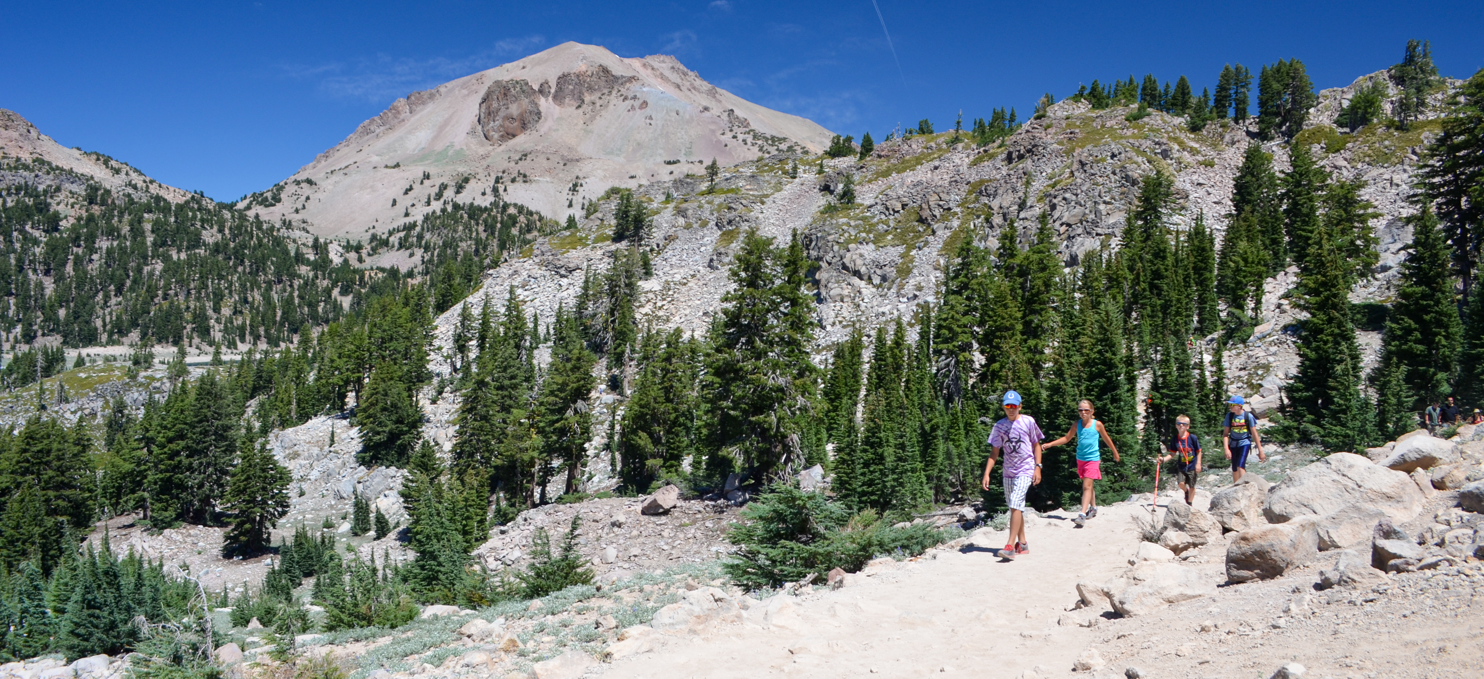
Bumpass Hell Trail
Start : Bumpass Hell parking area, 7 miles from the Southwest Entrance
Round-trip Distance : 3 miles
Round-trip Time : 2 hours
Terrain : Gradual climb first mile then 200-foot descent into basin
Elevation : 8,200 - 8,400 feet
Trail Surface: Packed gravel
Width: 48" to basin overlook; trails into basin are narrow
Season: Approximately late July through October
360-degree photos of the basin
Bumpass Hell Trail provides access to the largest hydrothermal area in the park. The trail is open in the late summer and fall only. Learn more about the winter/spring closure . Parking for this popular trail is limited and is often full mid-morning to early afternoon, especially on weekends. The three-mile, round-trip hike is easy to moderate in difficulty and is popular with hikers of all ages. Vault toilets are available only at the trailhead, there are no restrooms on the trail or in the basin. Pets are not permitted on any park trails.
How to Hike This Trail Safely
Hiking the Bumpass Hell Trail involves risk. Learn more about general hiking safely in this high-elevation and remote park. Special considerations for this hydrothermal area include:
Shade is limited on this trail. Hikers are encouraged to wear or bring a hat and carry water.
Winter conditions can persist through the summer months, especially in the forested sections of the trail. Wear proper footwear (good tread, ankle support, closed toe) and consider using trekking poles to help maintain balance. Knee and ankle injuries are the most common visitor injury in the park.
Stay on established trails and boardwalks in/around the basin . Ground in hydrothermal areas can look solid but may actually be a thin crust hiding pools of acidic boiling water or mud. Visitors have been severely injured by traveling off-trail in these areas.
Water and mud in hydrothermal areas is acidic. Do not put water or mud from park hydrothermal areas on your skin. Even water that is cool to the touch is acidic and can irritate or burn your skin with prolonged exposure.
Hiking at high elevation can aggravate preexisting medical conditions. Know the effects of altitude. Carry plenty of water, take often, and do not exceed your abilities.
Pets Pets are not permitted on park trails, including in a carrier. This regulation does not apply to service animals assisting a person with a disability.
Accessibility The Bumpass Hell Trail is hardpacked dirt and rock. Most of the first mile is four feet wide, with minimal slope. The last half mile descends 300 feet into the basin and includes some rock steeps and steeper slopes. Service animals assisting a person with a disability are permitted on the trail.