
Sherman Creek Trail
Hike the Sherman Creek Wildlife Area the Park Service's write-up
dogs allowed
Start Haag Cove Campground
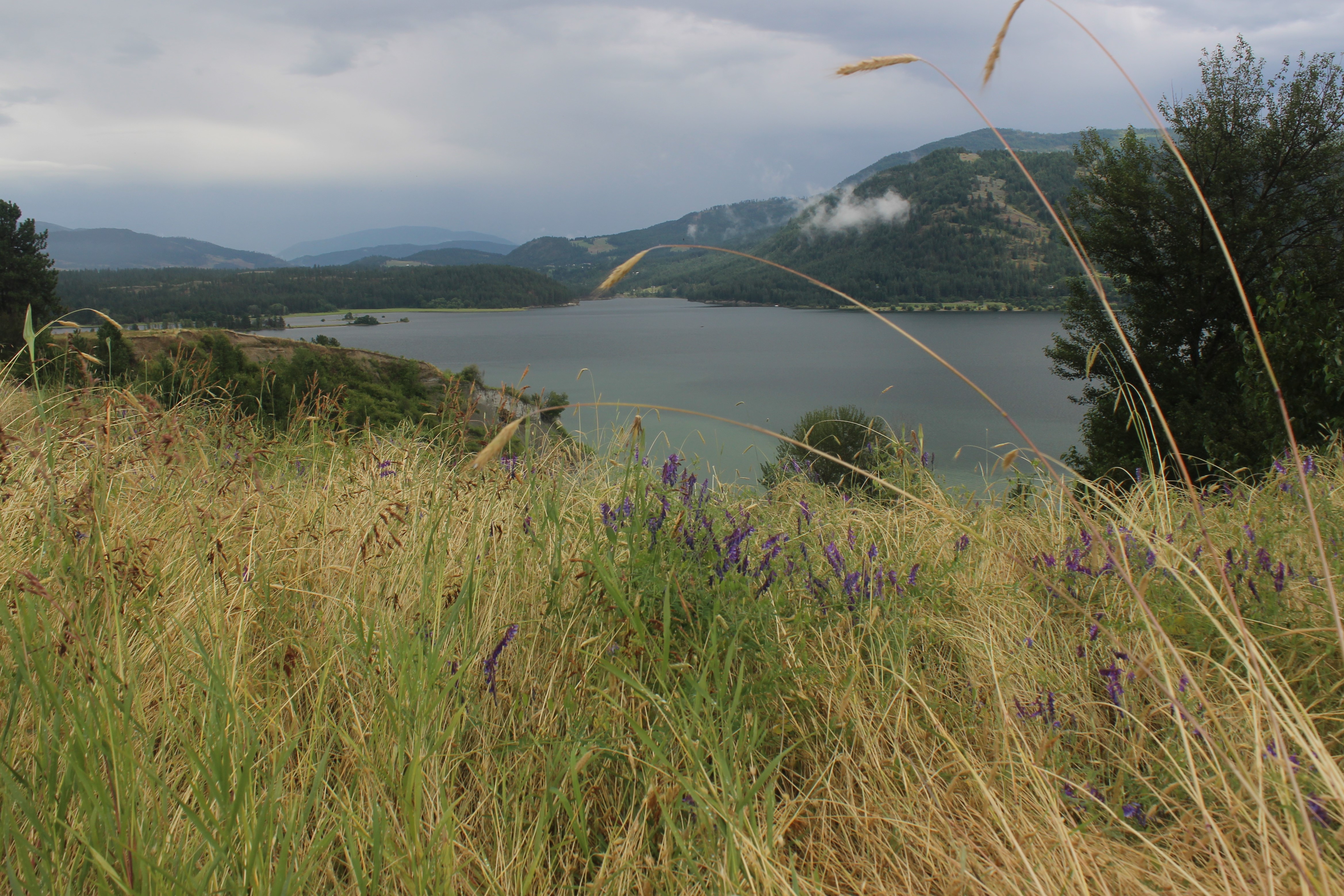
The Sherman Creek Wildlife Area is a cooperative trail system between the Washington Department of Fish and Wildlife and the National Park Service. There are multiple access points to this trail network and the length of the trail depends on which pathway is taken. The trail network features a gentle grade and is great for wildlife viewing.
The National Park Service managed trailhead begins at Haag Cove Campground, 10 yards/30 feet from the left of campsite 17. All other trailheads and parking areas are managed by the Washing Department of Fish and Wildlife. For these sites, a Discover Pass is required. These locations include the Sherman Creek Wildlife Area Agriculture Field Parking Area, the Mellenberger Bridge Trailhead off of Mellenberger Road, and the Sherman Creek Wildlife Area Headquarters Trailhead off of Hwy 20. Note: a Discover Pass is not required to park at Haag Cove Campground.
One Way Distances starting from Haag Cove
From Haag Cove to Mellenberger Bridge Trailhead (northbound): 2.10 miles.
Along this route is the Reed Farm to Ferry Landing trail (eastbound): 0.61 miles.
Just north of the Reed Farm to Ferry Landing cut off is the Sherman Point Loop (eastbound): 0.83 miles. This ultimately curves southbound and connects back to the Reed Farm to Ferry Landing trail.
From Mellenberger Bridge Trailhead to Sherman Homes (northbound): 1 mile
Along this route is an alternative path. Heading east, then north, then west to connect back to the Mellenberger Bridge Trailhead to Sherman Homes is the Hatchery Loop : 0.86 miles.
From Sherman Holmes, head east to take the Sherman Homes Road Connection : 0.25 miles.
This connects to the Wilkie Access Bypass (northbound) for 0.29 miles and connects back to the Wilkie Access Road (see below).
From Sherman Holmes, head north to take the Wilkie Access Road : 0.42 miles. This connects to the middle of the Sherman Homes Road to HQ trail.
Turn left (northbound) to follow the trail towards the Sherman Creek Wildlife Area Headquarters Trailhead. About half way along this trail, you'll come to a junction. Take the right hand junction for the Spur Below HQ trail (northbound): 0.22 miles.
Turn right (southbound) on the HQ to Sherman Homes Trail. This ultimately connects back to the Sherman Homes Road Connection. Sherman Creek Wildlife Area Headquarters Trailhead to Sherman Homes Road is 1.11 miles.
At the junction between the Sherman Homes Road Connection and the HQ to Sherman Homes Road is one more connection: the Sherman Homes Spur (northbound) is 0.15 miles and connects back to the Wilkie Access Bypass.
Accessibility This trail is mostly flat, with a gentle grade. It is mostly dirt with scattered grass. It is not paved.