
Sentinal Trail
Visitor centers
Along the way Fort Spokane Visitor Center and Museum
Hike the Sentinel Trail the Park Service's write-up
1-2 Hours · dogs allowed
Start Fort Spokane Guardhouse
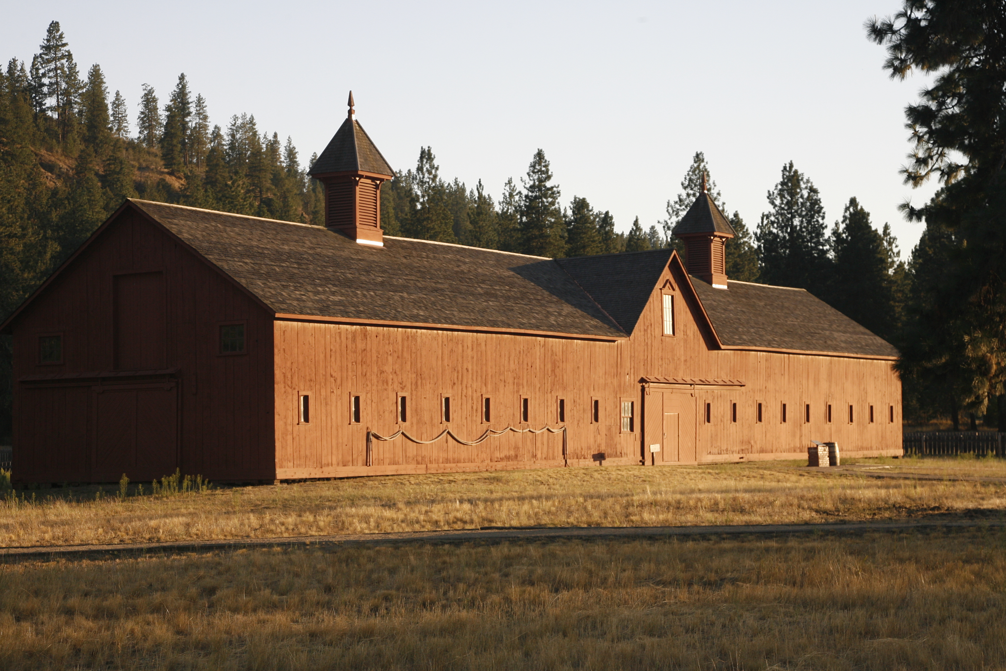
Explore the history of Fort Spokane via the Sentinel Trail. This trail takes the visitor to various stops and trailside markers to learn more about the people who lived and worked here in the late 1800s. Watch for remnants of buildings and other clues that tell the story of what a thriving settlement may have looked like.
The Fort Spokane area marks a transition zone between two environments at Lake Roosevelt: the shrub-steppe desert and the more dense ponderosa pine forests.
Branching off of the Sentinel Trail is the Bluff Trail. This section of trail climbs about 300 feet in elevation to the top of a bluff, which provides spectacular aerial views of the fort grounds and the confluence of the rivers.
Remember to bring water along the trail and watch out for Northern Pacific Rattlesnakes that may be out and about in the warmer months. Stay on trail and be careful where you step.
Accessibility The parade grounds portion is composed of compacted decomposed granite suitable for wheelchairs. The grade is relatively flat and is edged with wooden rails on the ground. The section that climbs to the bluff is very steep and strenuous as is the portions that leads up the hill from the campground and the day use area. After rain or snow melt, the parade ground route can be muddy, but should be passable. In the winter, trail can be hard-packed with ice and snow. Visitors are welcome to snowshoe or cross country ski the grounds during the winter.