
St. Thomas
Trailhead St. Thomas Trailhead 1,233 ft Drive there
Hike the St. Thomas Trail 2.5 mi round trip · the Park Service's write-up
1-4 Hours · dogs allowed · entrance fee applies · season Remember heat kills, be summer-smart and opt to hike when temperatures are cooler. If you do choose to hike during the summer, rangers recommend starting early in the morning or later in the evening when the weather is slightly cooler. Remember to pack enough water for your entire trip.
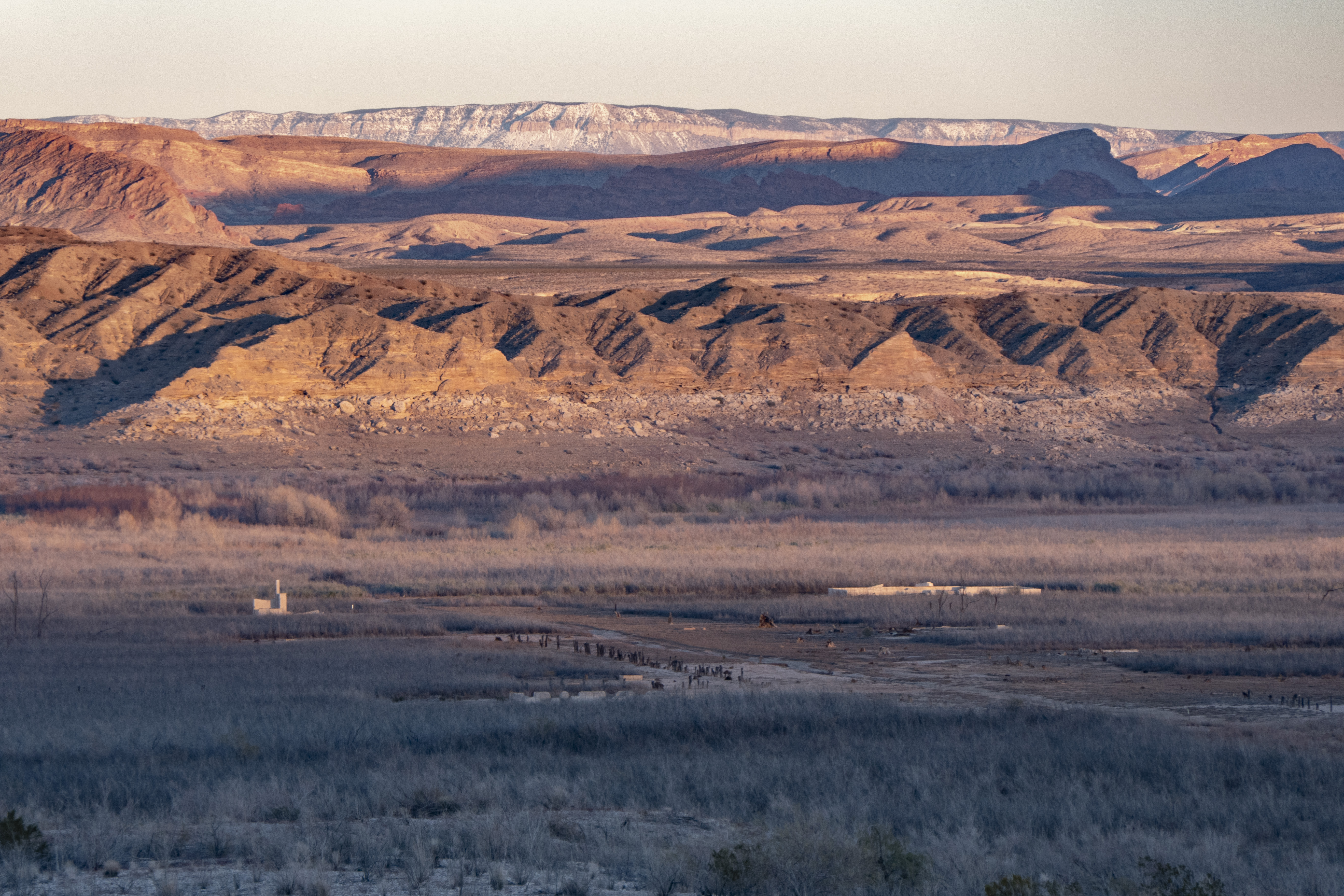
St. Thomas was settled by Mormon pioneers in the 1850-1860’s and later grew into a thriving town home to entrepreneurs who found ways to build prosperous lives in the challenging conditions of the desert. The town was abandoned in the 1930s to make way for the rising waters of Lake Mead. The remains of St. Thomas have since resurfaced and visitors can roam the ruins of the once bustling township.
Visitors can roam the ghost remains of an authentic Western town. The historic site comes alive through the interpretive signs that detail the trials and tribulations of the desert dwellers that once called this place home.
Artifacts of this town may be found in many forms, from small glass fragments to large building foundations. While it may seem like you're helping clean up the trail or moving fragile artifacts out of the way, it is against the law to disturb archeological sites. This includes moving and removing artifacts, climbing on structures, or defacing structures with graffiti or etchings.
Trail Information
Trailhead: DIRECTIONS
Parking: At end of Old St. Thomas Access Road, just past mile post 46 on Northshore Rd.
Distance: 2.5 miles round trip
Elevation Gain: 85 ft. elevation change
Difficulty: Moderate
THIS TRAIL IS NOT MAINTAINED
Services: No services available
Accessibility This trail begins on a slope downhill on loose rocks. The rest of the trail made up of uneven rocks and sand through the foundations of St. Thomas. A hiking pole is recommended.