
Redstone
Picnic areas
Along the way Redstone Picnic Area
Trailhead Redstone Trailhead 2,252 ft Drive there
Hike the Redstone Trail 1.1 mi round trip · the Park Service's write-up
1-4 Hours · dogs allowed · entrance fee applies · season Remember heat kills, be summer-smart and opt to hike when temperatures are cooler. If you do choose to hike during the summer, rangers recommend starting early in the morning or later in the evening when the weather is slightly cooler. Remember to pack enough water for your entire trip.
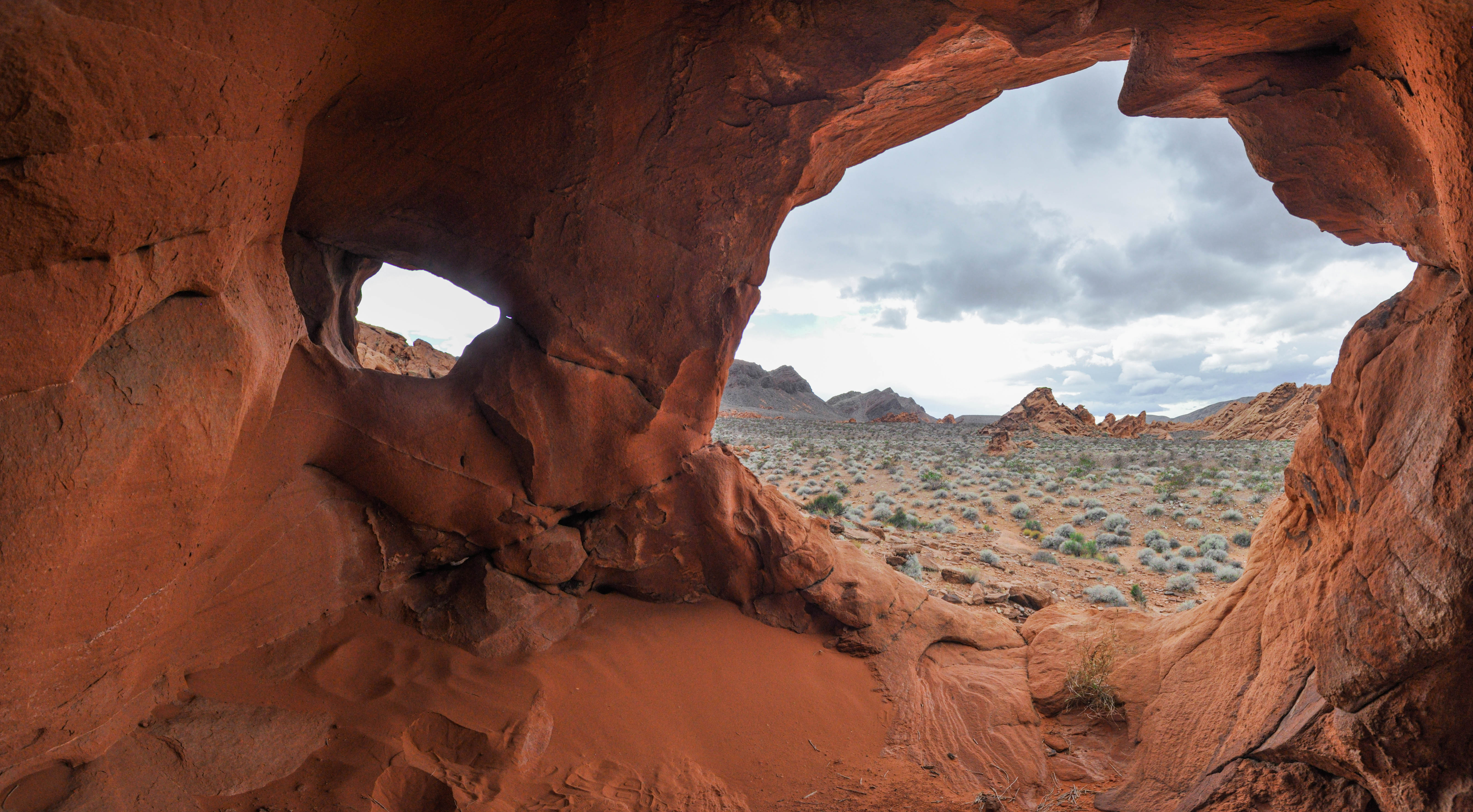
The fiery eroded formations on this trail were once part of a vast desert landscape. The dunes responsible for these formations existed one hundred forty million years ago. Over time, geological forces turned the loose dunes into hard sandstone.
Keep an eye out for wildlife as well, and of course, please respect the environment by staying on trail!
Trail Information
Trailhead: DIRECTIONS
Parking: Parking lot located at trailhead
Distance: 1.1-mile roundtrip
Elevation Gain: 80 ft. elevation change
Difficulty: Easy
THIS TRAIL IS NOT MAINTAINED
Services: Accessible pit toilets at the trailhead, covered picnic tables, trash/litter receptacles.
Accessibility The trailhead begins next to the paved sidewalk around the picnic tables and restrooms. This trail is an unmaintained route. The majority of the trail is on loose sand and gravel with about 80 feet of elevation change.