
Owl Canyon
Picnic areas
Along the way Three Island Overlook Picnic Area
Trailhead White Owl Canyon Trailhead 1,244 ft Drive there
Hike the Owl Canyon Trail 2.2 mi round trip · the Park Service's write-up
1-4 Hours · dogs allowed · entrance fee applies · season Remember heat kills, be summer-smart and opt to hike when temperatures are cooler. If you do choose to hike during the summer, rangers recommend starting early in the morning or later in the evening when the weather is slightly cooler. Remember to pack enough water for your entire trip.
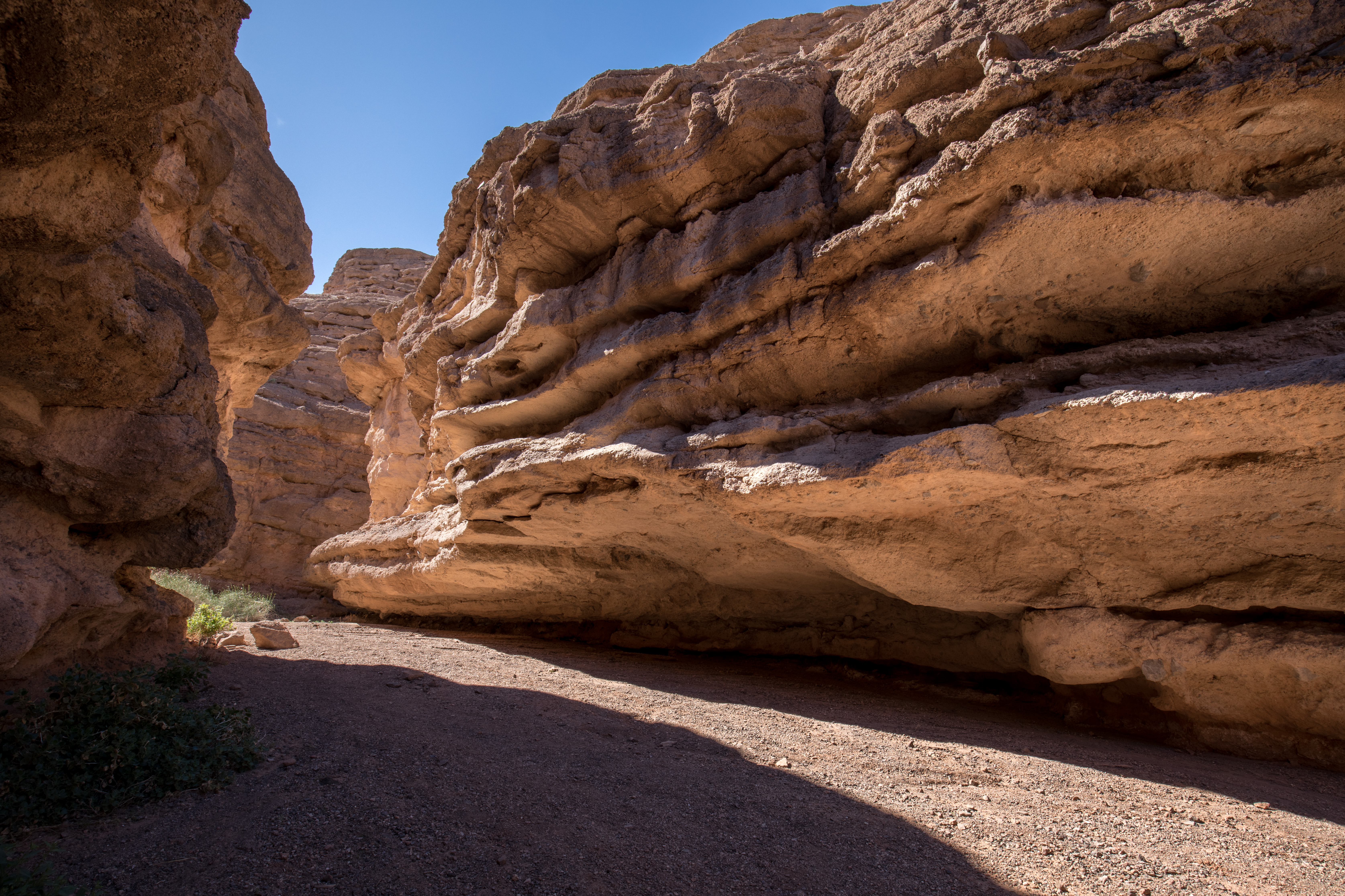
Once entirely submerged beneath Lake Mead, Owl Canyon was exposed as water levels dropped. From the trailhead down into the wash the trail is steep and made up of loose rocks and dirt that can cause hikers to slide or slip and fall. As you follow the wash, the trail narrows and deepens into a slot canyon with 100-foot vertical walls in the most confined section. You will be walking on sand and loose rocks in the canyon. The hues and colors of sculptural rock walls change through the day with the play of light and shadows, making this spot a favorite for photographers. Owls have also been seen in the area, making it an excellent destination for birdwatchers.
Trail Information
Trailhead: DIRECTIONS
Parking: Parking lot located off the first road on the left at 33 Hole Canyon Road.
Distance: 2.2 miles roundtrip
Elevation Gain: 300 ft. elevation change
Difficulty: Moderate
THIS TRAIL IS NOT MAINTAINED.
AVOID DURING MONSOON RAINSTORMS DUE TO FLASH FLOOD RISK.
Services: Picnic Shelter, accessible pit toilets at the trailhead, trash/litter receptacles, scenic view/photo spot
Accessibility The first 50 yards of the trail is very steep and made of unstable rocks and sand. It presents a risk of slipping and falling for any hiker. A hiking pole is recommended. The rest of the trail into Owl Canyon is made up of loose uneven rocks and sand.