
Northshore Summit
Trailhead Northshore Summit Trailhead 2,370 ft Drive there
Hike the Northshore Summit Trail 1 mi round trip · the Park Service's write-up
1-4 Hours · dogs allowed · entrance fee applies · season Remember heat kills, be summer-smart and opt to hike when temperatures are cooler. If you do choose to hike during the summer, rangers recommend starting early in the morning or later in the evening when the weather is slightly cooler. Remember to pack enough water for your entire trip.
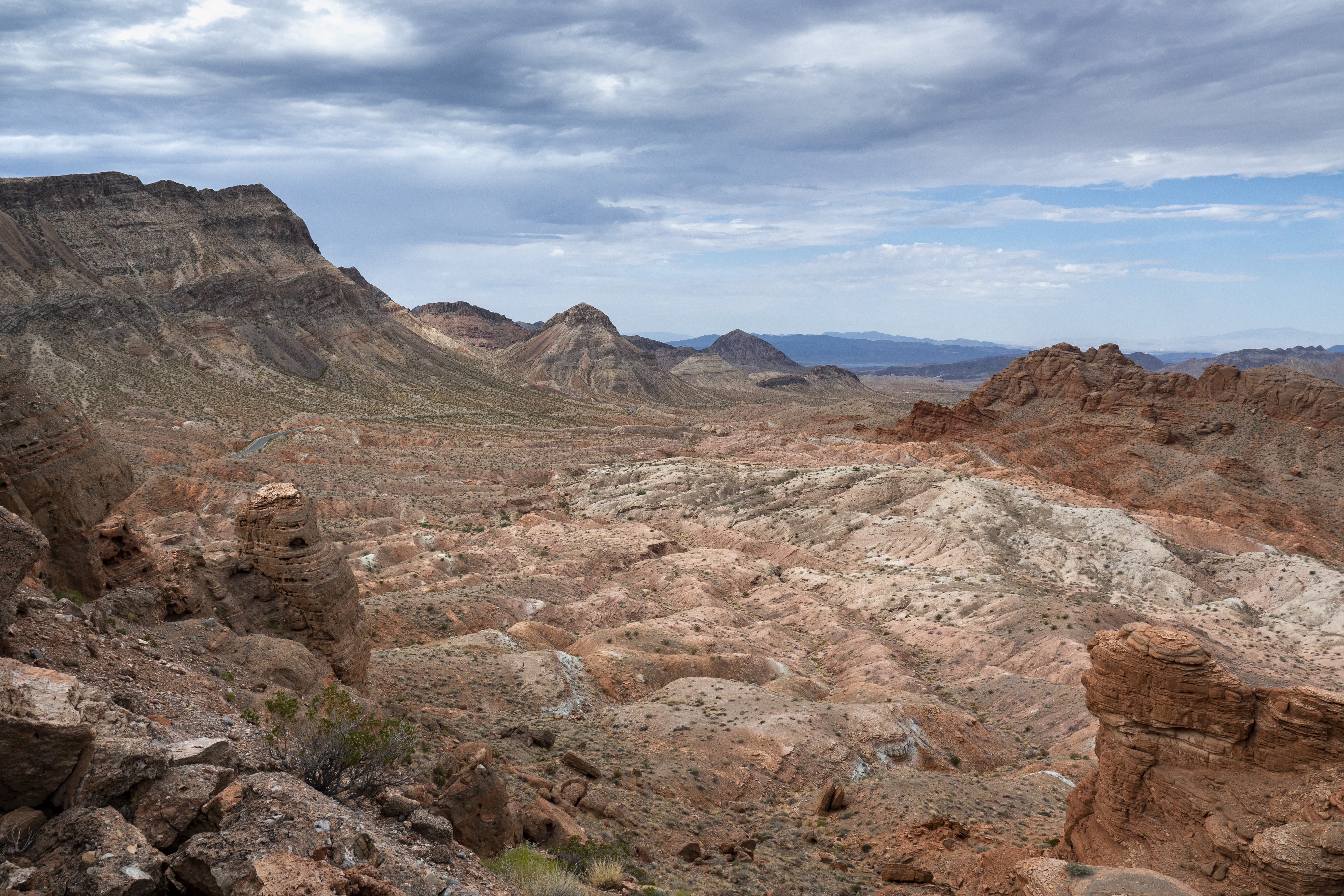
A perfect place to take in the desert in all its vastness and striking colors. After a short but steep climb, visitors are rewarded with views of the Muddy Mountains, Bowl of Fire, and the Bitter Spring Valley.
Trail Information
Trailhead: DIRECTIONS
Parking: Parking area past mile post 20 on Northshore Rd.
Distance: 1-mile round trip
Elevation Gain: 200 ft. elevation change
Difficulty: Moderate
THIS TRAIL IS NOT MAINTAINED
Services: Accessible pit toilets at the trailhead; trash/litter receptacles.
Accessibility This trail is an unmaintained route. It is 1.0 miles (1.6 km) on a natural earth surface with some uneven rocks and gravel. With about 200 feet of elevation change, this trail climbs up to a hilltop to a panoramic view of the surrounding area.