
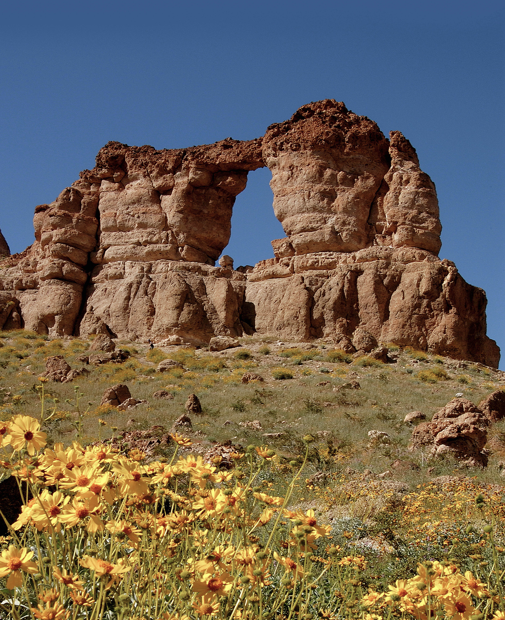
Liberty Bell Arch
ViewsArches
Along the way Liberty Bell Arch Liberty Bell Arch Trail Overlook
Hike the Liberty Bell Arch Trail 5.5 mi round trip · the Park Service's write-up
4-8 Hours · dogs allowed · entrance fee applies · Winter, Spring, Fall · season The Liberty Bell Arch Trail is closed annually from May 15 - September 30.
To help keep visitors and first responder staff safe from dangerously high temperatures during the hottest time of year, Lake Mead National Recreation Area institutes an annual seasonal closure of certain strenuous trails from May 15 to September 30.
Temporary closures will take place outside of these dates when temperatures are forecasted to reach 95 Fahrenheit or higher at Willow Beach (AZ), or if flash floods are possible.
-------
The Liberty Bell Arch trail starts from the White Rock Canyon parking area and heads west under the highway bridge towards the Colorado River. While there is no river access on this trail, hikers are rewarded throughout their adventure with geological highlights, remnants of a historic magnesium mine going back to the days of WWII, and a fantastic panoramic view overlooking the Colorado River from 1000 ft. up.
Trail Information
Trailhead: DIRECTIONS
Parking: Shared trailhead. Parking located just off U.S. Highway 93 before mile post 4, south of Hoover Dam.
Distance: 5.5 miles roundtrip
Elevation Gain: 750 ft. elevation change
Difficulty: Strenuous
THIS TRAIL IS NOT MAINTAINED
Services: Scenic view/photo spot, trash/litter receptacles.
Accessibility This trail is an unmaintained route through a normally dry desert wash. The wash is made of soft sand, gravel, rocks, and boulders its entire length. There are steep grades as well as rock ledges a few feet high that must be climbed over.