
Lake View
Picnic areas
Along the way Katherine Landing Picnic Area
Trailhead Lake View Trailhead 658 ft Drive there
Hike the Lake View Trail 4.7 mi round trip · the Park Service's write-up
1-4 Hours · dogs allowed · entrance fee applies · Winter, Spring, Fall · season October-April is normally the best time of year to hike at Lake Mead National Recreation Area. Remember to pack enough water for your entire trip.
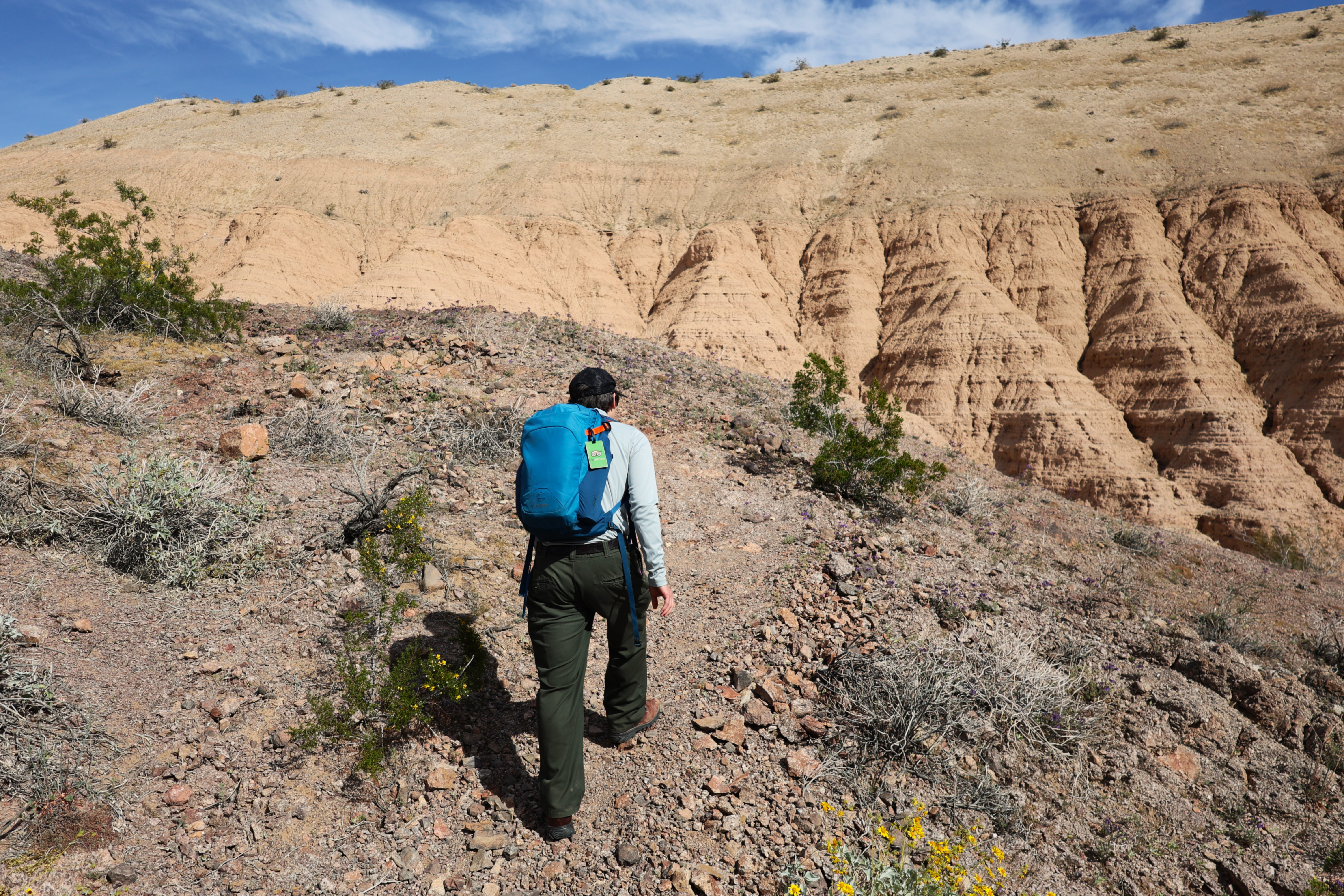
This sandy hike meanders through the Mohave Desert terrain with opportunities to view the mountainous landscapes that surround lovely Lake Mohave. The trailhead is located at the Katherine Landing location of Lake Mead National Recreation Area on the West end of parking lot B next to is a moderate 4.7 roundtrip hike. When you reach South Telephone Cove beach, you have come to the end.
This trail is excellent for exploration of the desert flora and fauna including creosote, brittle bush, roadrunners, Gamble's quail and if you are lucky, you may have the unique experience of seeing a desert tortoise.
Remember heat kills, be summer-smart and opt to hike when temperatures are cooler.
Trail Information
Trailhead: DIRECTIONS
Parking: This trail's parking area is next to the Katherine Landing day-use picnic area.
Distance: 4.7 miles roundtrip
Elevation Gain: 115 ft. elevation change
Difficulty: Moderate
THIS TRAIL IS NOT MAINTAINED
Services: Accessible pit toilets at the trailhead; trash/litter receptacles. Potable water spigots are available at picnic area by the trailhead.
Accessibility This trail is an unmaintained route. It is 4.7 miles (7.6 km) roundtrip on some uneven rocks, gravel, and loose sand. There is about 115 feet of elevation change with steep inclines/declines throughout the trail.