
Callville Summit
Picnic areas
Along the way Callville Bay Picnic Area
Trailheads Callville Summit Trailhead 1,259 ft Drive there · Callville Summit Trailhead 1,248 ft Drive there
Hike the Callville Summit Trail 0.9 mi round trip · the Park Service's write-up
1-4 Hours · dogs allowed · entrance fee applies · season Remember heat kills, be summer-smart and opt to hike when temperatures are cooler. If you do choose to hike during the summer, rangers recommend starting early in the morning or later in the evening when the weather is slightly cooler. Remember to pack enough water for your entire trip.
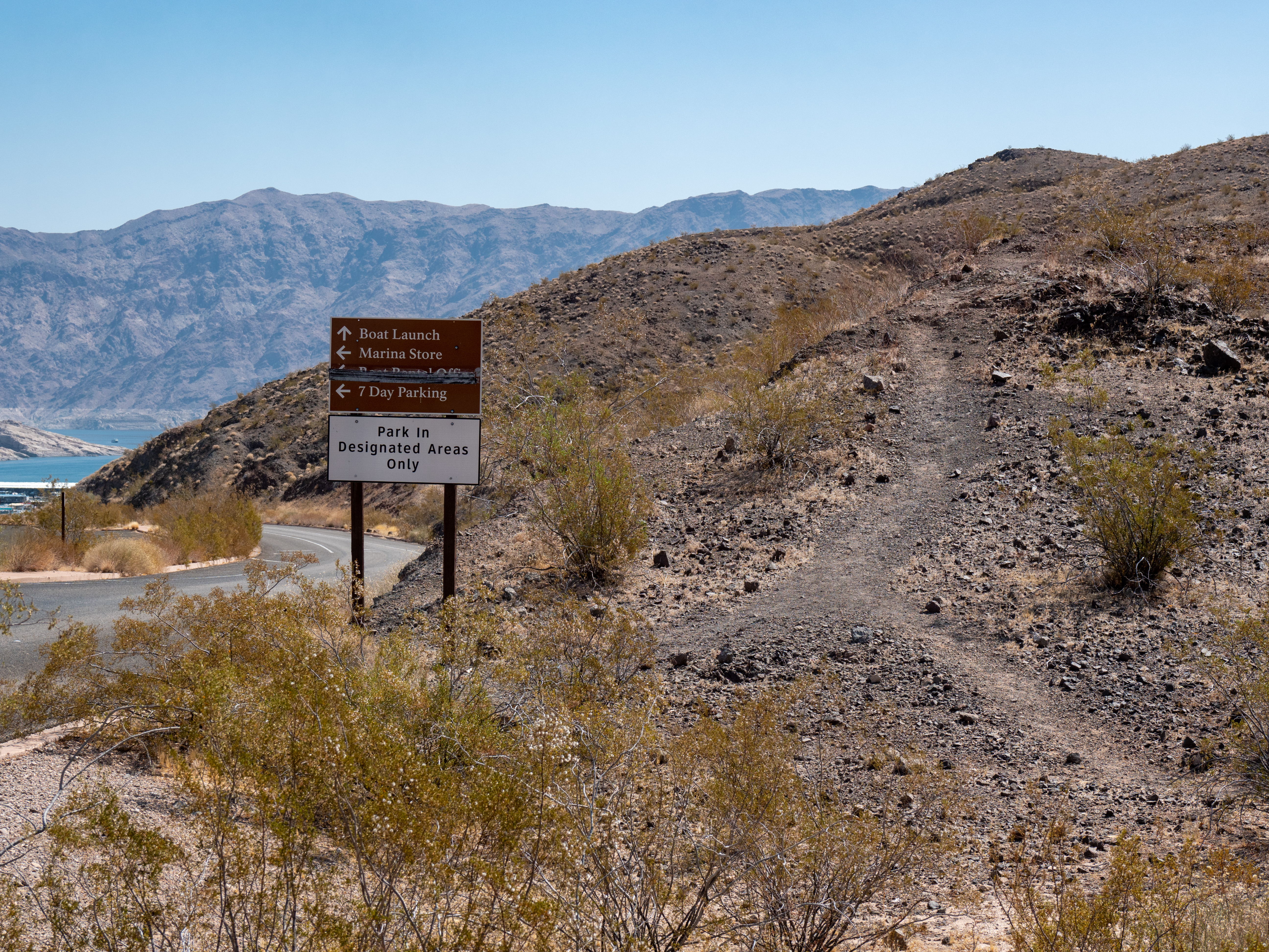
The trailhead leaves from the dump station parking lot across from the Callville Bay campground. There is also a more direct route to the expansive view using a strenuous and steeper trail that leaves from trash collection area of the campground. From the summit, take in views looking over Callville Bay and Lake Mead. Other social trails lead down to the water and can be seen leading to even further hikes and enjoyment.
Remember heat kills, be summer-smart and opt to hike when temperatures are cooler.
Trail Information
Trailhead: DIRECTIONS
Parking: Parking is at trailhead leaves from the dump station parking lot across from the Callville Bay campground.
Distance: 2 .9 miles roundtrip
Elevation Gain: 349 ft. elevation change
Difficulty: Moderate
THIS TRAIL IS NOT MAINTAINED
Services: Accessible pit toilets nearby, trash/litter receptacles.
Accessibility This trail is made up of uneven rocks and gravel as it climbs up to the summit. There is about 150 feet of elevation change throughout the trail up to a high viewpoint overlooking the Boulder Basin of Lake Mead. A hiking pole is recommended.