
Bluffs
Trailhead Las Vegas Bluffs Trailhead 1,298 ft Drive there
Hike the Bluffs Trail 3.9 mi round trip · the Park Service's write-up
1-4 Hours · dogs allowed · entrance fee applies · season Remember heat kills, be summer-smart and opt to hike when temperatures are cooler. If you do choose to hike during the summer, rangers recommend starting early in the morning or later in the evening when the weather is slightly cooler. Remember to pack enough water for your entire trip.
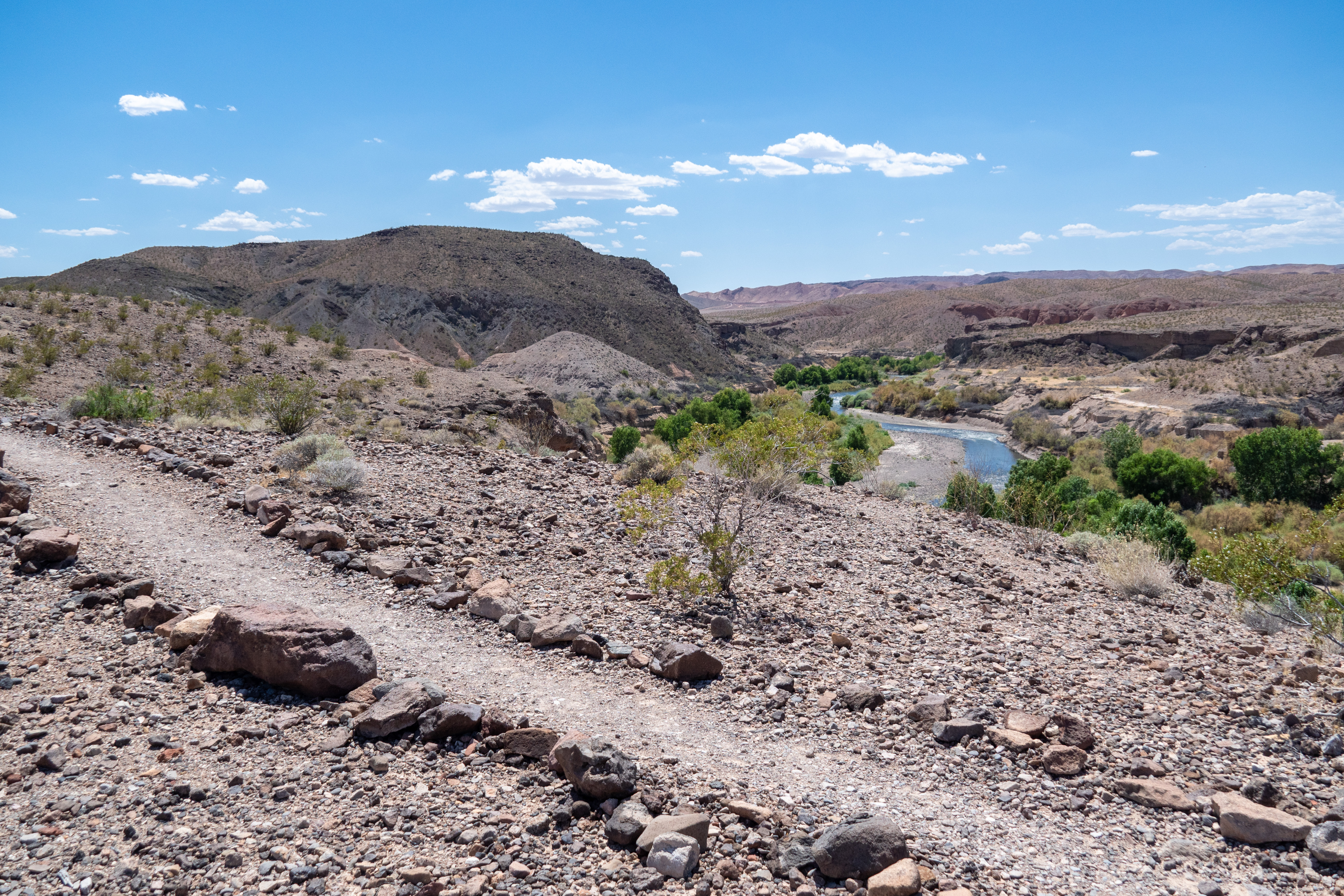
A bird-watcher's dream, the Bluffs trail sets out from camp site #72 in the Las Vegas Bay Campground. The route is rated as moderate, is about 3.9 miles round-trip, and overlooks the Las Vegas Bay and Las Vegas Wash, where one can see a stark contrast in vegetation between wet and dry areas. Additionally, the summit provides outstanding views of Lava Butte to the northwest and the Muddy Mountain range to the east.
The Bluffs trail is geologically intriguing due to the presence of granite, mica, and forces of erosion. The outdoor amphitheater at the beginning of the trail is a great spot to watch a striking desert sunset.
Remember heat kills, be summer-smart and opt to hike when temperatures are cooler.
Trail Information
Trailhead: DIRECTIONS
Parking: Parking is available at the restroom at Las Vegas Bay Campground.
Distance: 3.9 miles round trip
Elevation Gain: 145 ft. change
Difficulty: Moderate
THIS TRAIL IS NOT MAINTAINED.
Services: Accessible restrooms available at Las Vegas Bay Campground, trash/litter receptacles.
Accessibility Beginning near campsite #72, this trail is 3.9 miles (6.2 km) on a natural earth surface with uneven rock and gravel. There is about 145 feet of elevation change throughout the trail and some steeper sections to traverse through a wash.