
Glacier View Trail
SheltersVisitor centers
Along the way Education Pavilion EG Interp Pavilion Picnic Shelter/Warming Hut Nature Center
Trailhead Exit Glacier Trailhead 451 ft Drive there
Explore the Exit Glacier area in a couple of hours the Park Service's write-up
no dogs · Spring, Summer, Fall
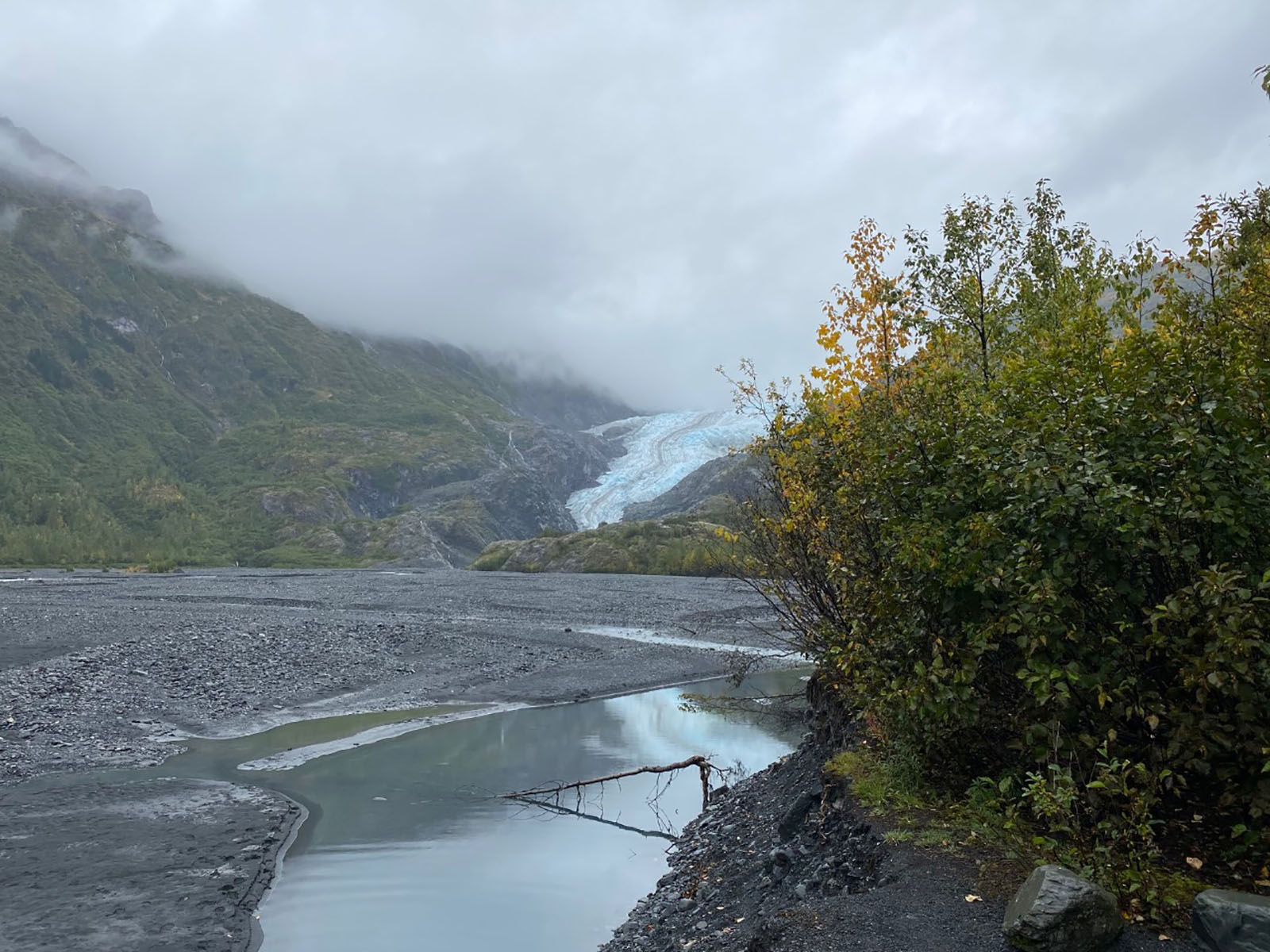
Would you like to explore the Exit Glacier area, and only have a couple of hours? Here are a few things you might consider doing.
Visit the Exit Glacier Nature Center: The Exit Glacier Nature Center is open from Memorial Day though Labor day. Inside are displays about the Exit Glacier Area, wildlife, and glaciers! Rangers are available if you have any questions. 30 minutes - 1 hour
Hike the Lower Trails: The lower trails offer some excellent views of Exit Glacier, as they follow the years of it's retreat. The first section of the lower trails is an accessible trail. It is packed gravel and dirt, and 3 feet wide. The second section goes up a slightly steeper elevation, with more narrow trail areas. The trail ends at a glacier overlook where Exit Glacier was in 2010. 1-2 hours
Pets Pets are not allowed on the trails in the Exit Glacier Area unless they are service animals.
Accessibility The first half of the lower trail section is 3 feet wide. It is packed dirt and gravel. The second half of the lower trail increases 300 feet in elevation, and the trail is narrow and unpacked. There is an accessible bathroom located near the Exit Glacier Nature Center.