
Sheep Rock Overlook Trail
HistoryVisitor centers
Along the way Cant Ranch Cant Ranch House Visitor Center
River Trail the Park Service's write-up
10-35 Minutes · dogs allowed
Start Sheep Rock Unit
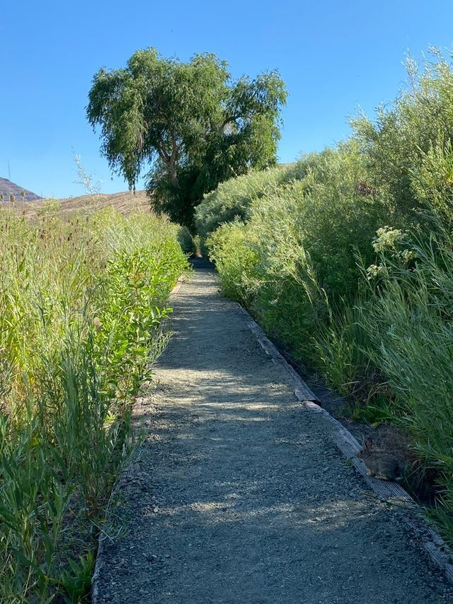
Starting at the Cant Ranch parking lot, this 0.6 mi (1 km) long trail passes through historic fields and alongside a historic fruit orchard on its way to the John Day River. Fruit may be collected from the orchard when in season, but please do not climb the trees since the branches are old and brittle.
Accessibility This relatively flat trail is 0.6 miles long and has an average width of 57.1 inches wide with a minimum width of 40 inches. There is a bench and wayside partway through the trail and another bench at the end of the trail. There is a picnic table at the end of the trail. Potential hazards: Exposed metal rods
Sheep Rock Overlook Trail the Park Service's write-up
10-30 Minutes · dogs allowed
Start Sheep Rock Unit
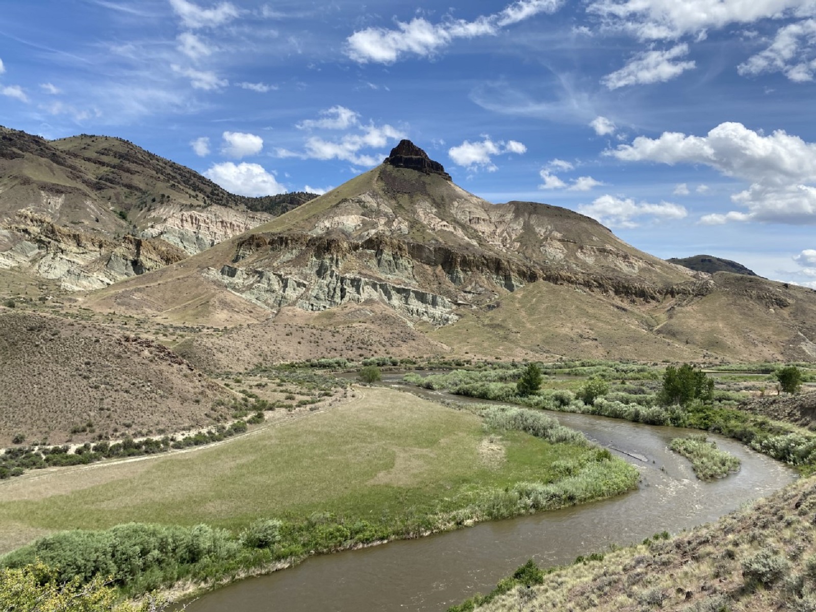
Starting at the front gate of the historic Cant home, this 0.5 mi (0.8 km) trail ends at an overlook with a view of the river valley with Sheep Rock high above.
Accessibility This 0.5 mi (0.8 km) long gravel trail has an average width of 70.6 inches and a minimum 35 inches. There is a large rock with a dedication to Thomas Condon at the end of the trail. There is a bench at the end of the trail with a view of the John Day River. Potential hazards: large rock, rocks